
Mokelumne Wilderness
|
Kinney Lakes ~ Ebbetts Peak Loop Mokelumne Wilderness |
August 3, 2009
This is my first hiking venture to the Ebbetts Pass area in several years.
Resolving to determine the best route there, I travel from Sacramento to Meyers
via US-50. The air is absolutely filthy in the Tahoe area today,
primarily due a number of forest fires; I hope that it is not so bad some thirty
miles to the south. Then it's over Luther Pass and down through Markleeville
to Highway-4. The 145 miles are covered in 2½ hours.
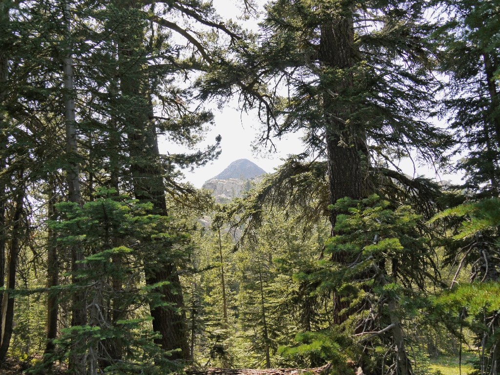
Four cars are parked where the Pacific Crest Trail crosses the highway. A prominent forest service sign says, "PLEASE DO NOT PARK HERE"; so I retreat to the official trailhead parking lot. A spur trail leads to the PCT. As I retrace the three tenths of a mile to the road crossing, I am treated to a first view of Ebbetts Peak, which appears to have a big American flag on its summit. That's unusual.
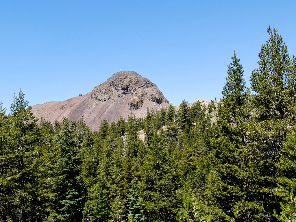
Ebbetts Peak, 9180'
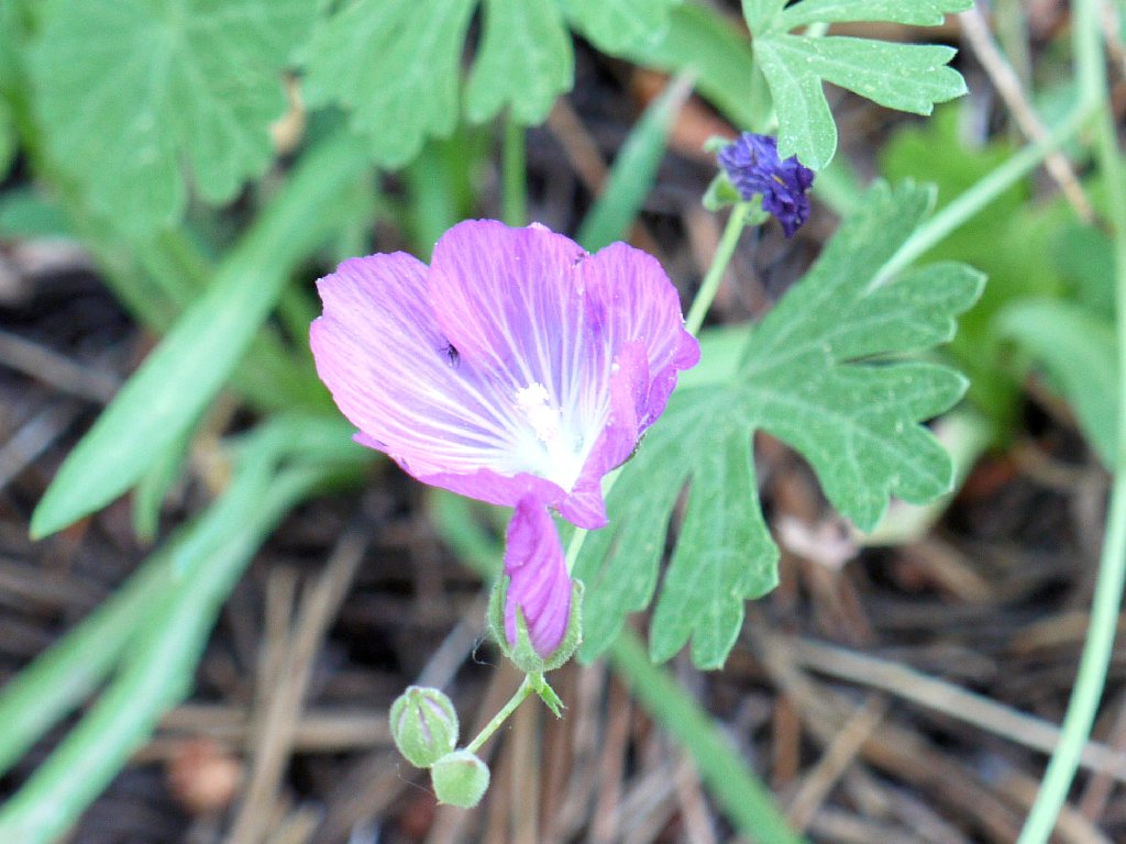
Checkerbloom
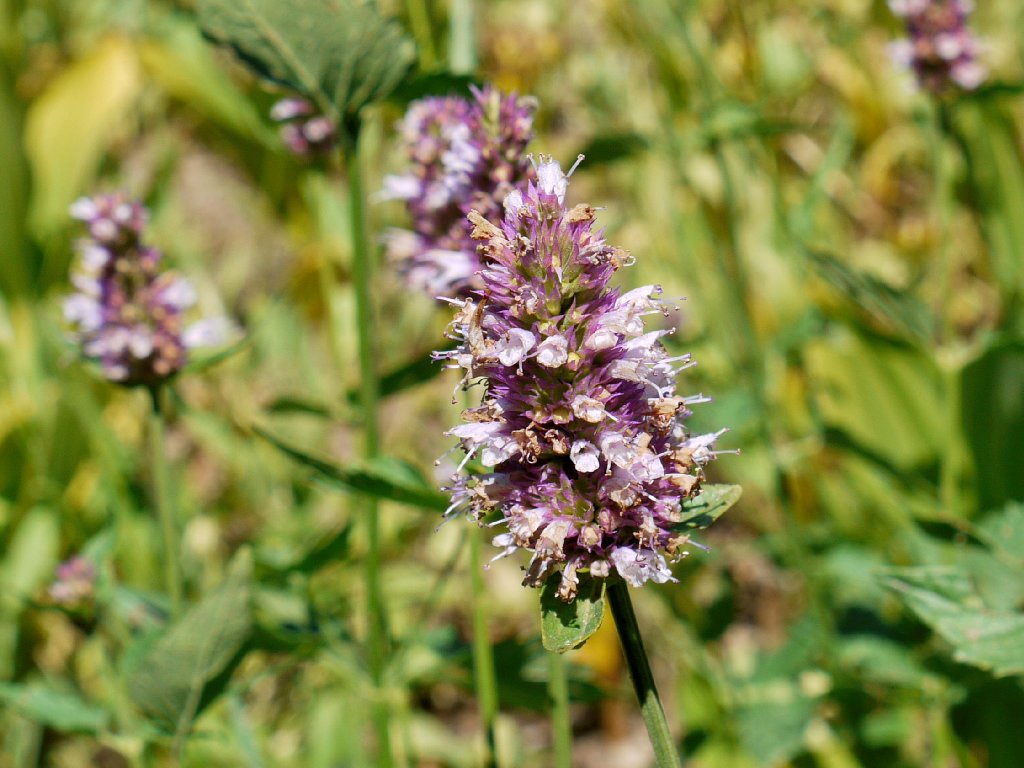
Giant Hyssop
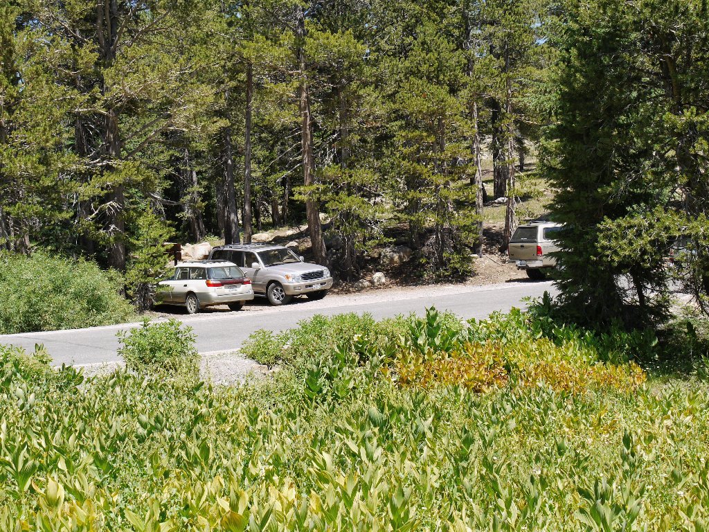
The Please-Don't-Park-Here zone
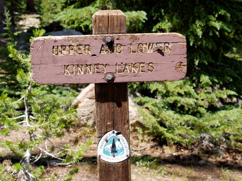
The Pacific Crest Trail itself is soft and sandy all the way to the first lake on the route. A bit farther ahead a signpost tells me that I have reached the lakes basin.
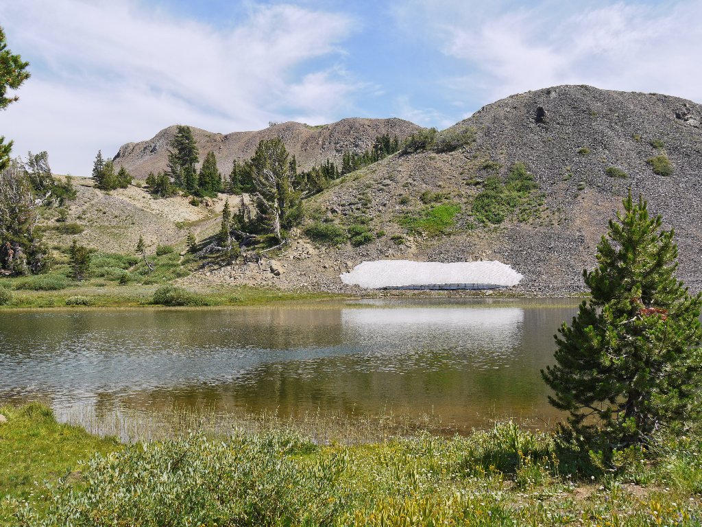
Sherrold Lake is rather orange-colored
Knowing that the two lakes are nearby, I continue up the PCT for another mile out of sheer curiosity.
Interesting rocks
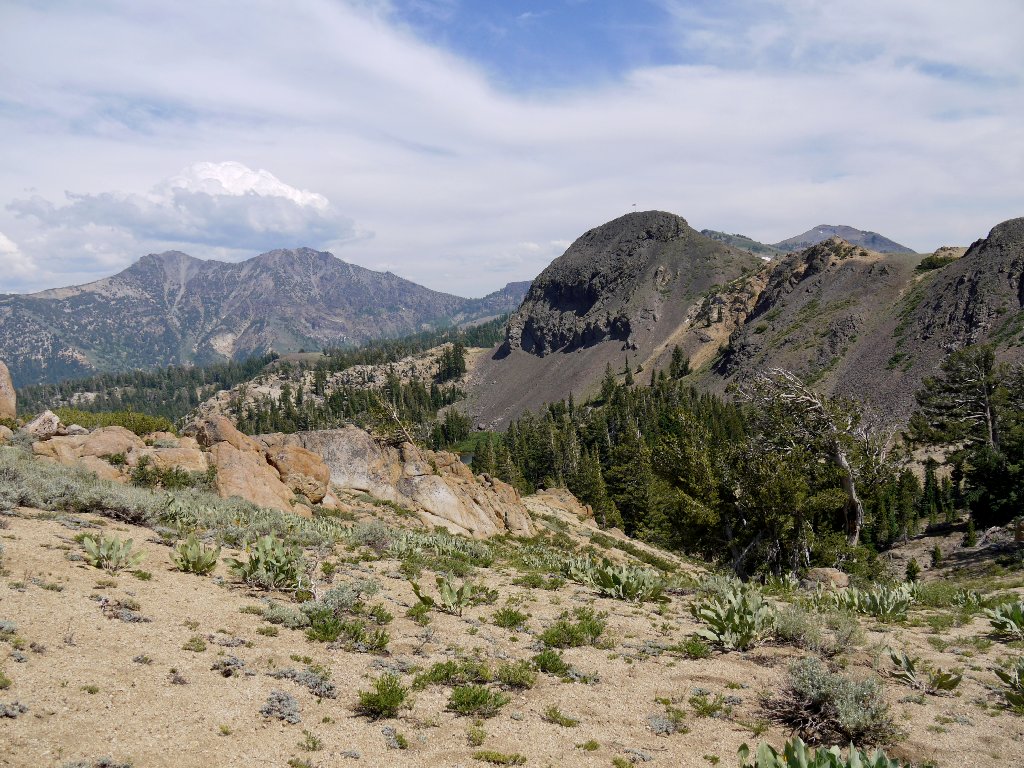
The view northward
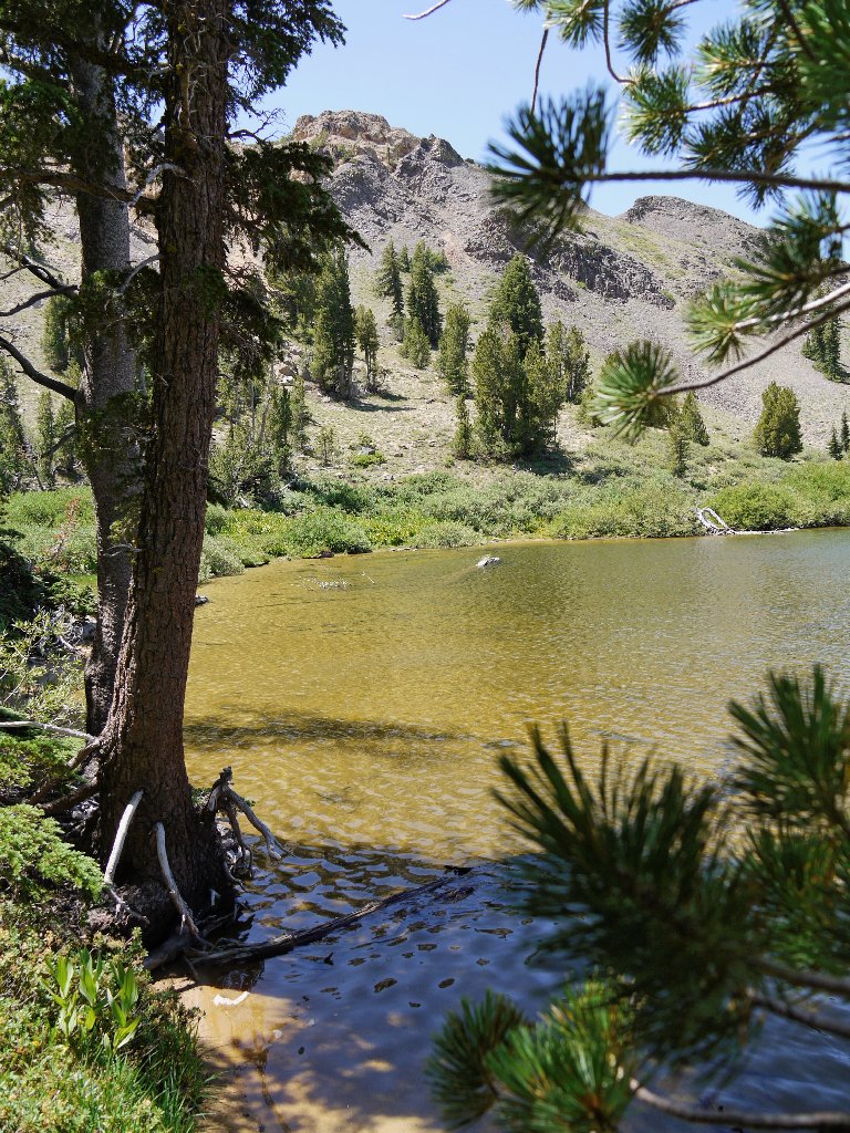
Just after turning back, I spot a body of water to the left. It is an
easy cross-country down a couple hundred feet of sand to the lake shore.
The direct route is straight down
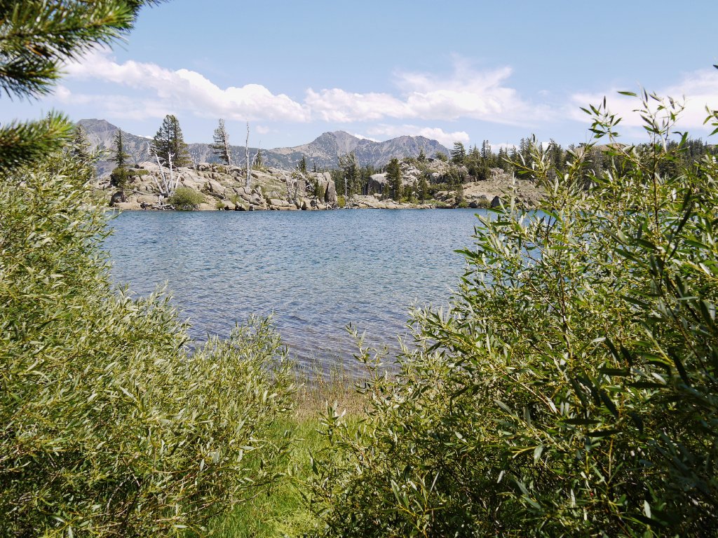
Upper Kinney Lake
There are some nice beach areas here. Along the north shore, several long fallen logs are anchored in place by cables, presumably in order to prevent them from floating away. That's a new one on me.

It is beautiful here today
I continue clockwise around the lake, watching for a nice spot to take a lunch break. Eventually one appears in the southeastern corner. It is amazing that I have this lovely place entirely to myself.
A great picnic spot
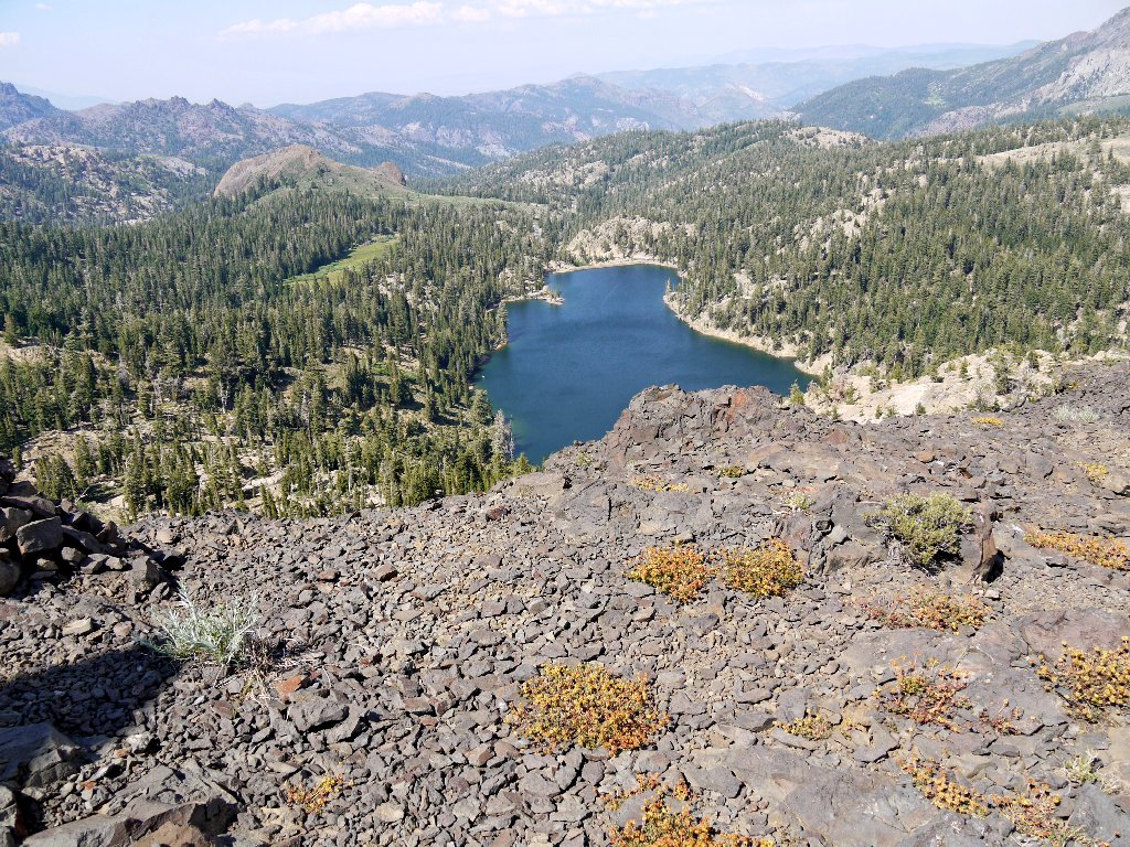
When crossing the dam I had observed the larger lake a couple hundred feet below. After lunch I search for a rocky high point that might provide an opportunity to photograph the two lakes together. My efforts are more or less rewarded.
View from the southwest
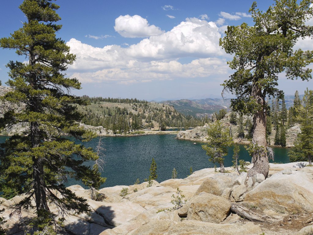
Lower Kinney Lake is 170 feet down
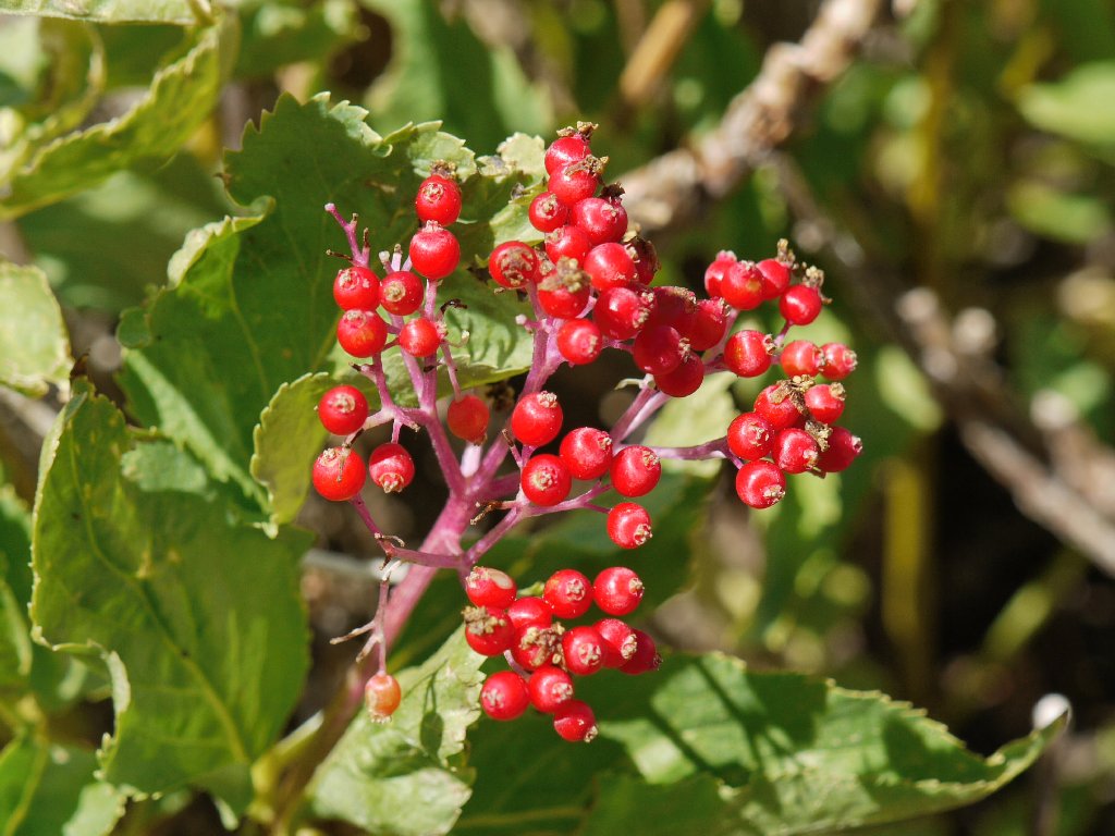
Elderberries adorn the high rocks at lakeside
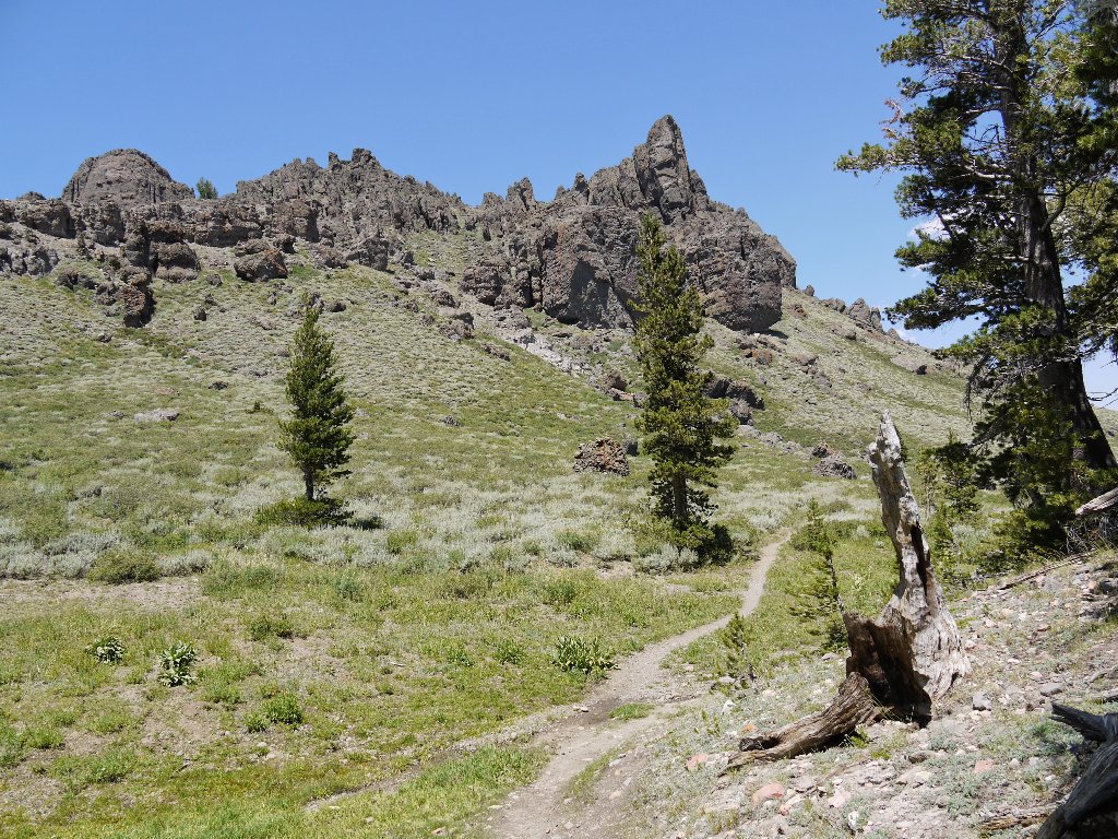
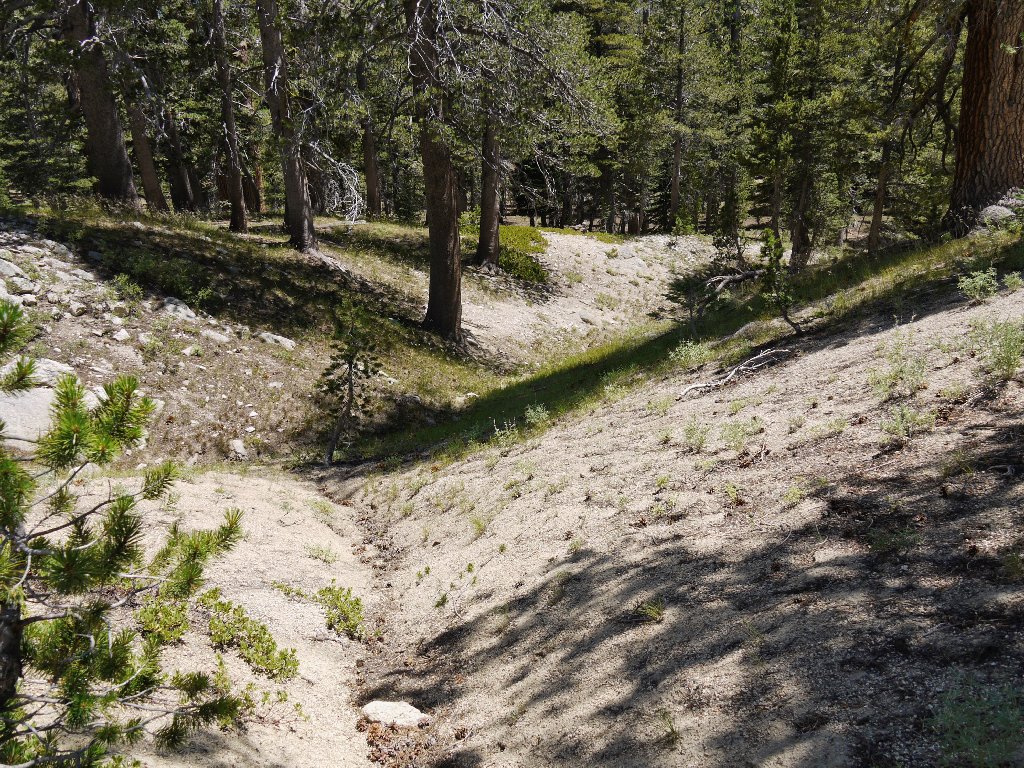
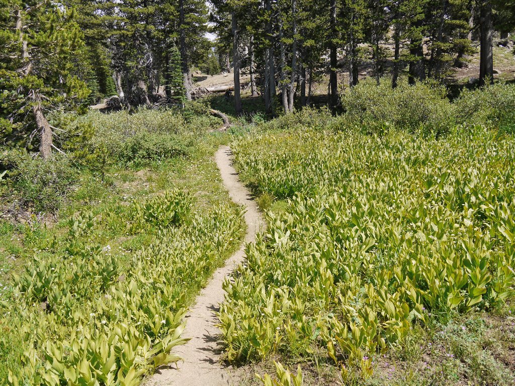
After departing the watery environs, I seem to be on a new section of trail. I do not recognize this meadow, and shortly ahead is a pond that I have not seen either. Consulting my map, I find that there is indeed an alternate route for about half a mile; this must be it.
The Mule's Ears are past their prime
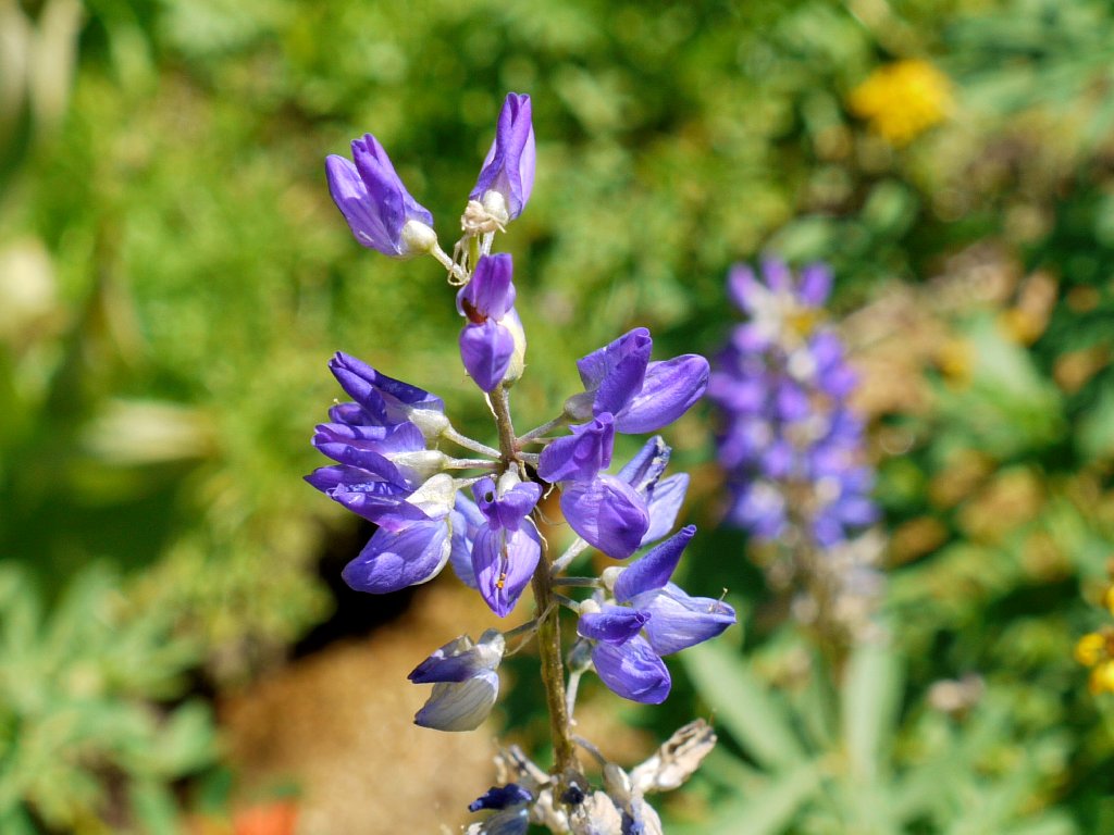
Silky Lupine
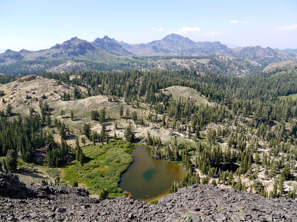
The map also shows another lake nearby that is well off the beaten path. Being in an explorative mood, I turn south and head into the forest. At a high point my objective appears, so I proceed directly toward it.
Off the trail again!
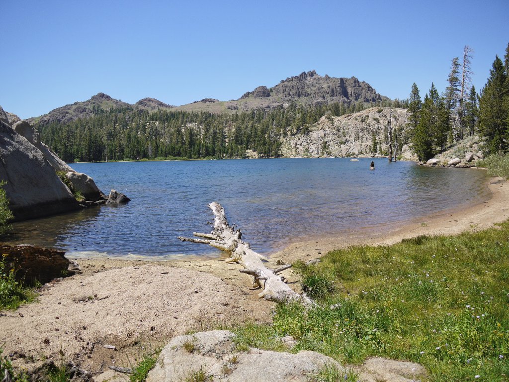
Dorothy Lake proves well worth the effort to find it
I spot a use trail snaking up the hillside behind this lake. Because it leads toward the highway, that option is too inviting to pass up.
Soon Ebbetts Peak comes into view again; it is attractively shaped from this angle. As I get closer, that omnipresent flag seems to be beckoning. The hilltop is not much farther up from here; so I succumb to the temptation and clamber up the steep slope of loose shale, reaching the summit in just ten minutes or so.
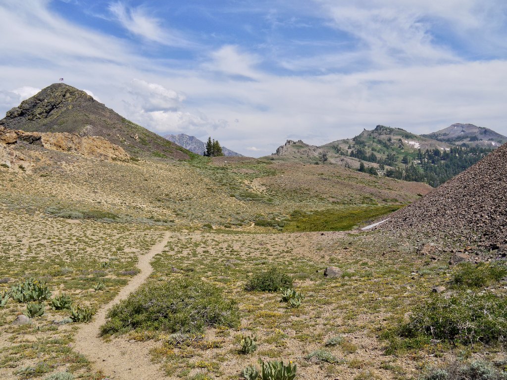
The mountain is waiting
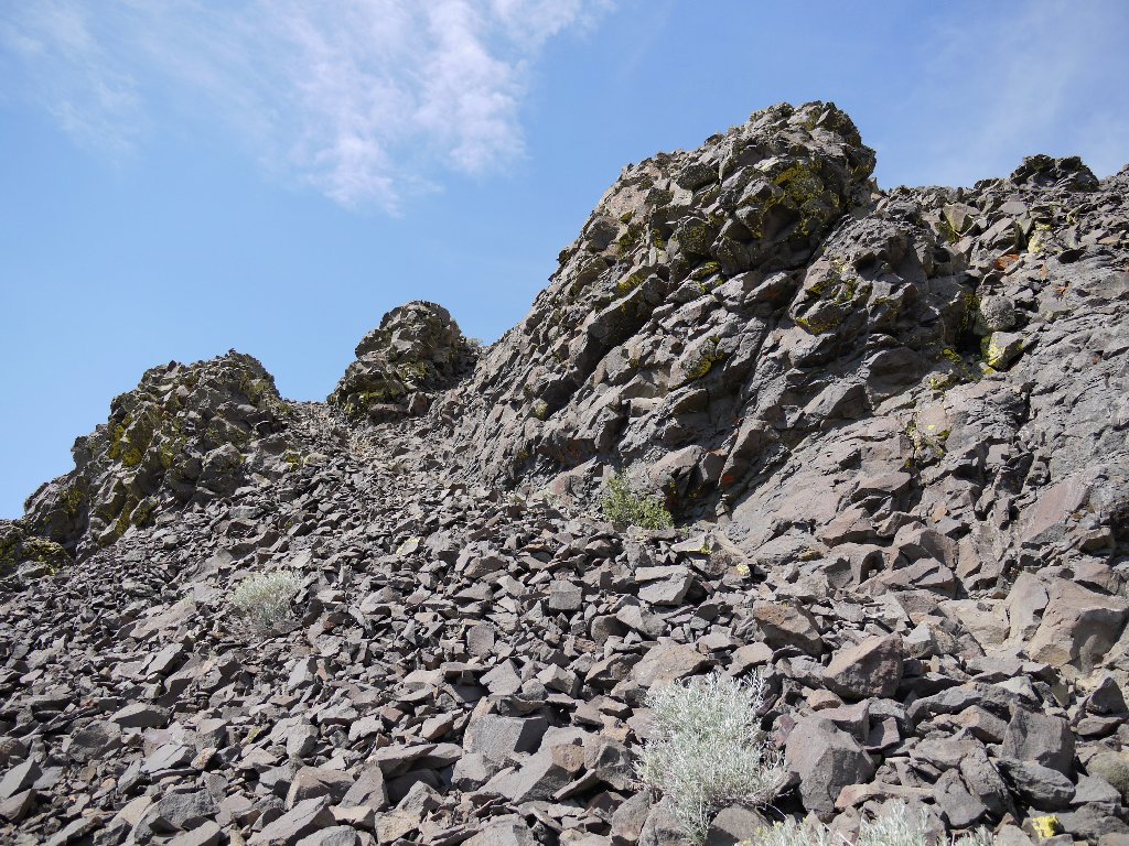
Two hundred feet of scree
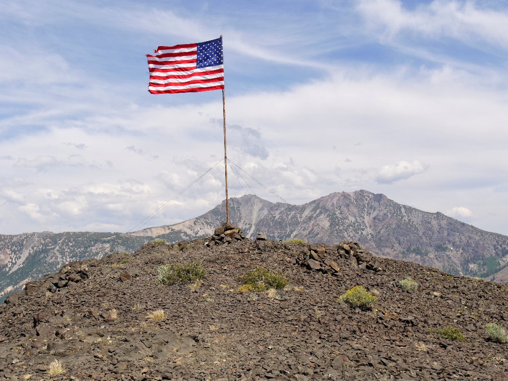
Ebbetts Peak summit
There are great views from up here. Despite the smoke and a stiff breeze, I manage to grab a few decent photos. Interestingly enough, some fancy lighting fixtures have been installed around the flag; that arrangement must provide a pretty nice display at night. The flag itself is torn at the top and will not last beyond this season. But who put it here, and why?
Kinney Reservoir is adjacent to Highway 4
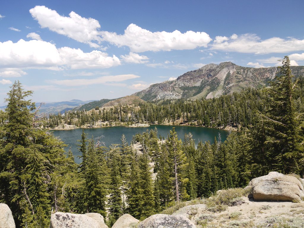
Sherrold Lake, Reynolds Peak (left), 9700', and Raymond Peak, 10014'
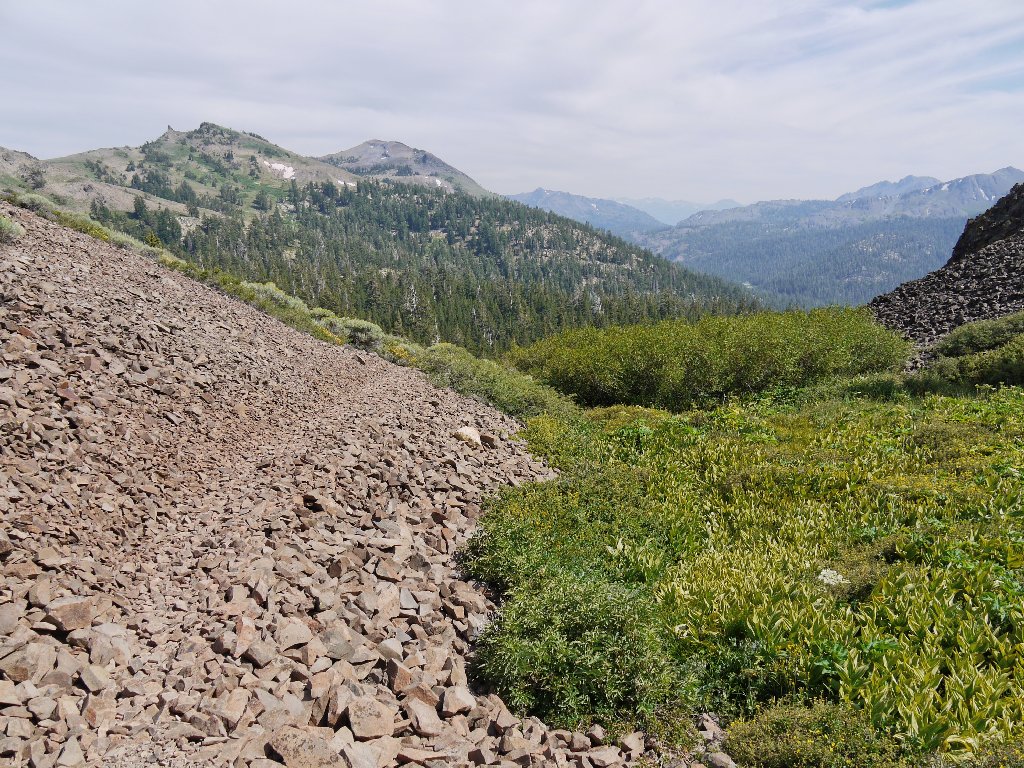
The remaining downhill trek is accompanied by tunes from many cow bells,
but the musicians remain elusively out of sight in the trees. The trail
ends at a dirt road after passing through a barbed wire fence; instead, I opt
for yet another plunge through the forest in order to avoid walking on the
highway. Fortuitously enough, I encounter the PCT just a hundred yards
from the pavement, just as if I had planned it.
Heading down
A final glance at my recent perch
§: Today's paucity of flowers was disappointing, and the air quality was poor. Nevertheless, I got more than I had bargained for, and the trip rating has been upgraded accordingly. Spending as much time off the main trail as on it always is a pleasure, and bagging the peak was a bonus. I found it disturbingly unlikely, though, that in the heart of the season I didn't see another human in the last several hours of my outing.
Oddity: this is the first time I have traversed two different wilderness
areas on the same day. The initial trail segment on the south side of
Highway-4 actually enters the Carson-Iceberg Wilderness.
| Scenery |  |
| Difficulty |  |
| Personality |  |
| Adventure | |
| Solitude | |

At the entrance to the parking lot, a pretty young backpacker has her thumb out. After driving right by out of habit, I have a quick change of heart and return. The woman is accompanied by her father, a school teacher from Mariposa. They are bound for Lake Alpine to restock their food supply, so that they can continue their journey homeward on the Pacific Crest Trail. We share a coke at the lodge and promise to communicate and possibly get together for a future hike.
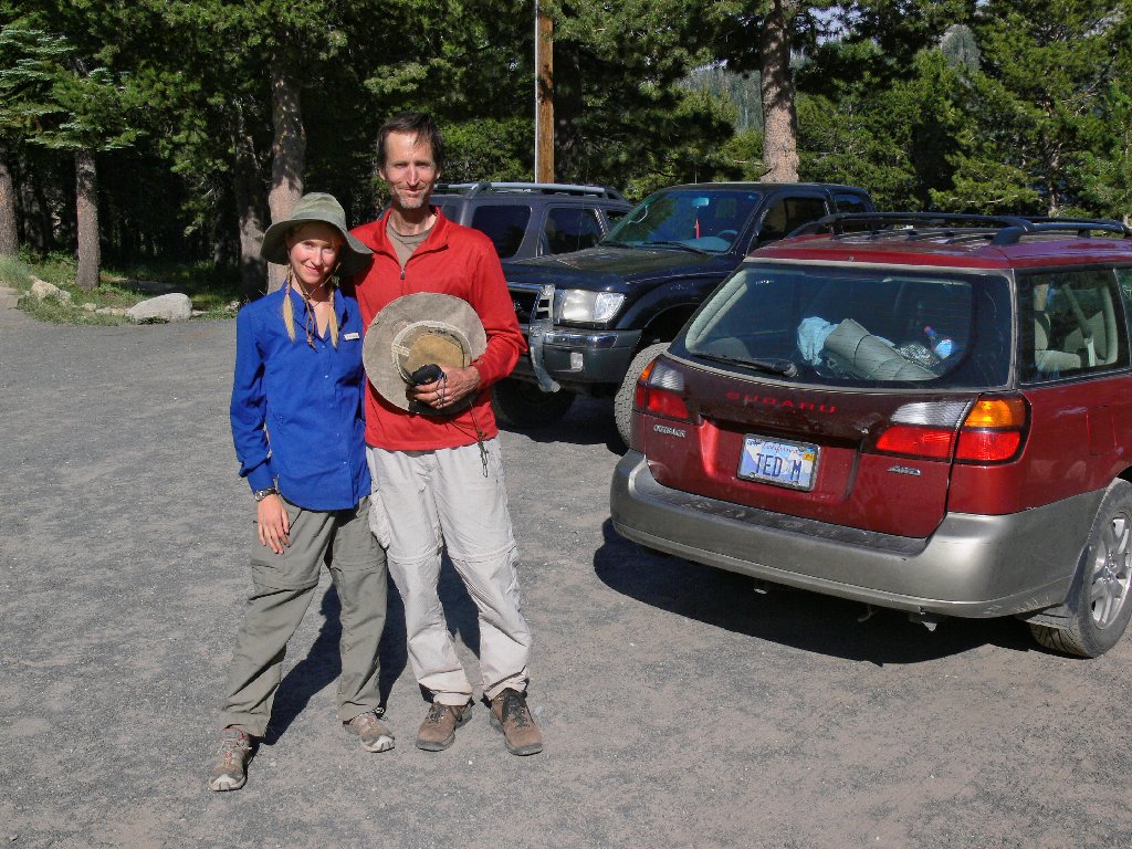
Jennie and Chris at Lake Alpine Lodge
My grand loop homeward leads through Angels Camp and Lodi. It proves to be just slightly farther and takes about the same length of time as my morning route. This way isn't nearly as scenic, though.
