
Desolation Wilderness
|
Susie Lake Desolation Wilderness |
June 24, 2009
Despite a threat of high temperatures here, I opt for a first-ever
hike from this trailhead, partly because the higher elevations remain largely
snowbound.
The first mile and a half is a stroll up a gated road to Glen Alpine Springs,
an historical spot that is now maintained by a non-profit organization.
Sometimes they have $200 fund-raising dinners here, and one has to
walk all this way just in order to eat!
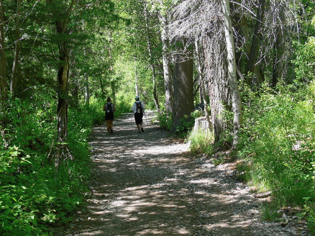
Getting started
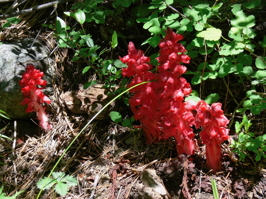
Snowplants
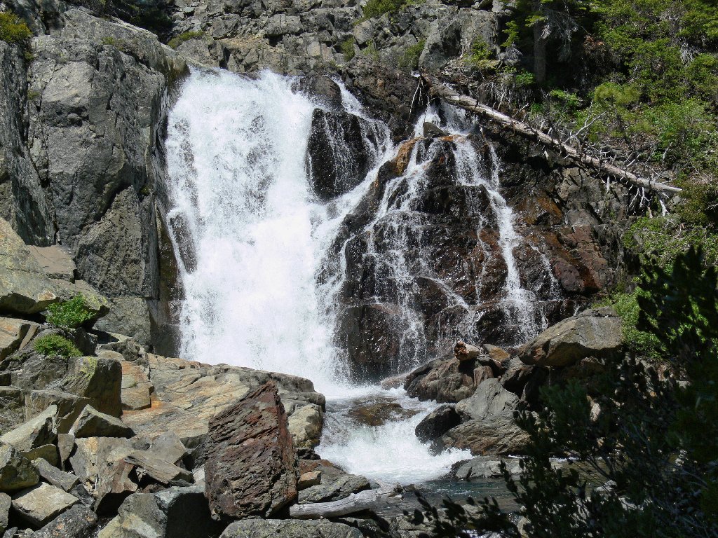
Falls beside the trail
The facilities are not active today
A private cabin overlooks that waterfall. Rough life. Just past the main complex, the trail begins to climb. Bypassing a spur to Grass Lake, I head for higher ground.
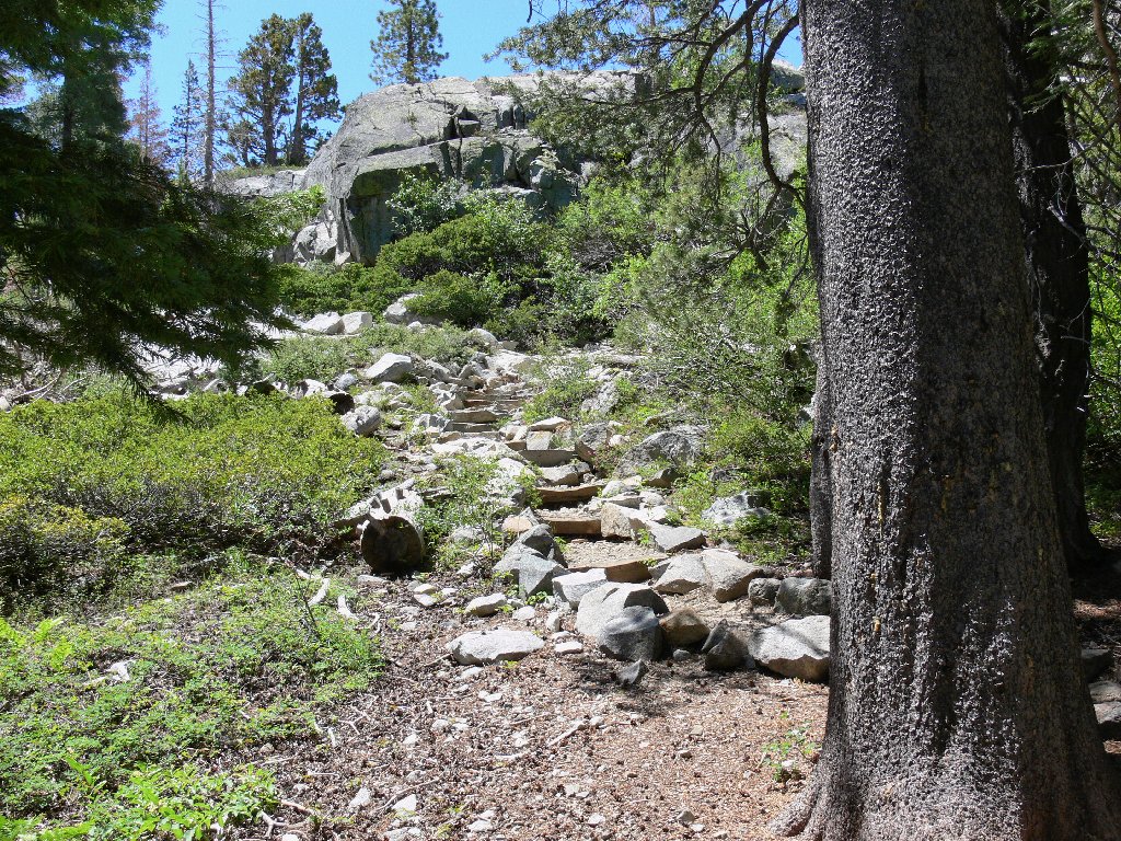
Start of the switchbacks
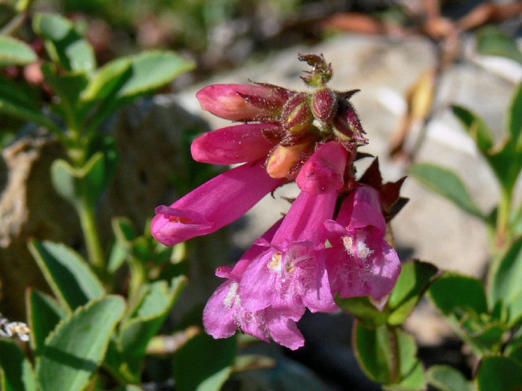
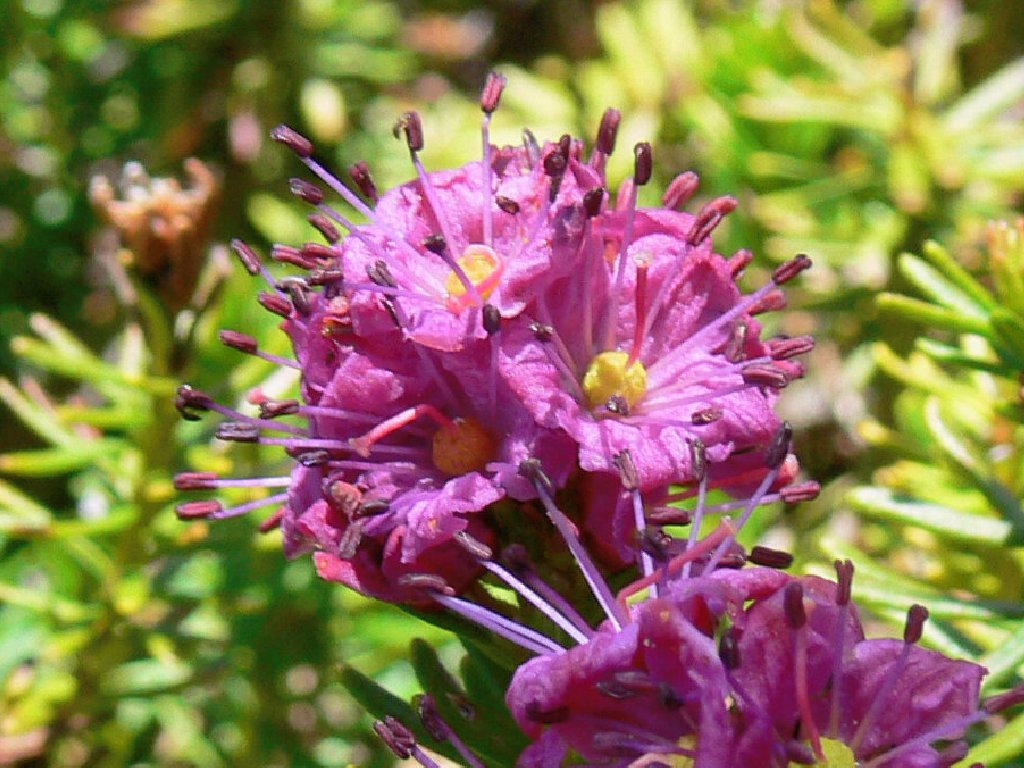
Mountain Pride
Excepting the beautiful red guys, very few flowers are in evidence thus
far. Much of the trail is composed of gruss — small stones
which help to keep the route intact, but which are very hard on the feet.
Its construction mimics the hated Tahoe-Yosemite Trail just to the south,
which is even more unfriendly.
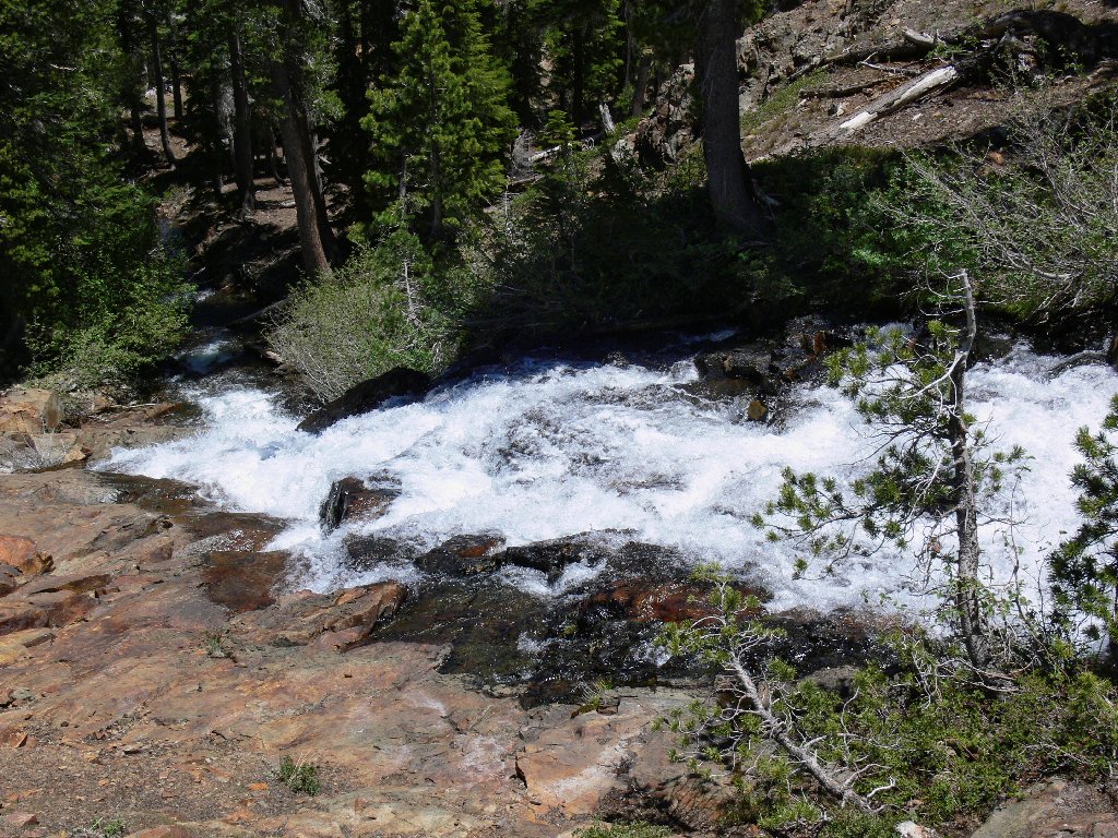
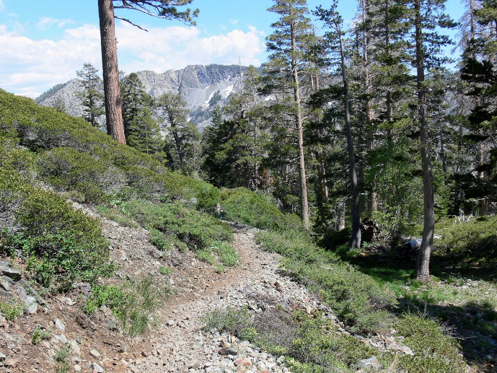
After a lengthy series of treeless switchbacks, a small creek appears as the trail enters the forest.
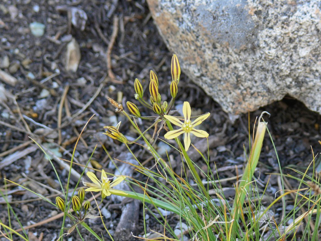
Mountain Prettyface
At the next junction I encounter the Pacific Crest Trail. Although the signposts on today's route look new, there are no helpful mileage markings, and the usual PCT insignia is missing here as well. To the right are routes to Half Moon and Gilmore Lakes, as well as an attractive back way up Mount Tallac; but today's destination lies southward, to the left. I have a plan.
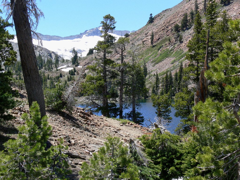
First view of Susie Lake
Susie Lake and Jacks Peak, 9856'
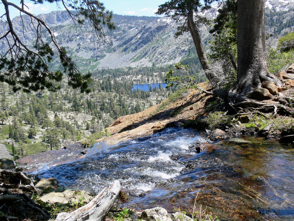
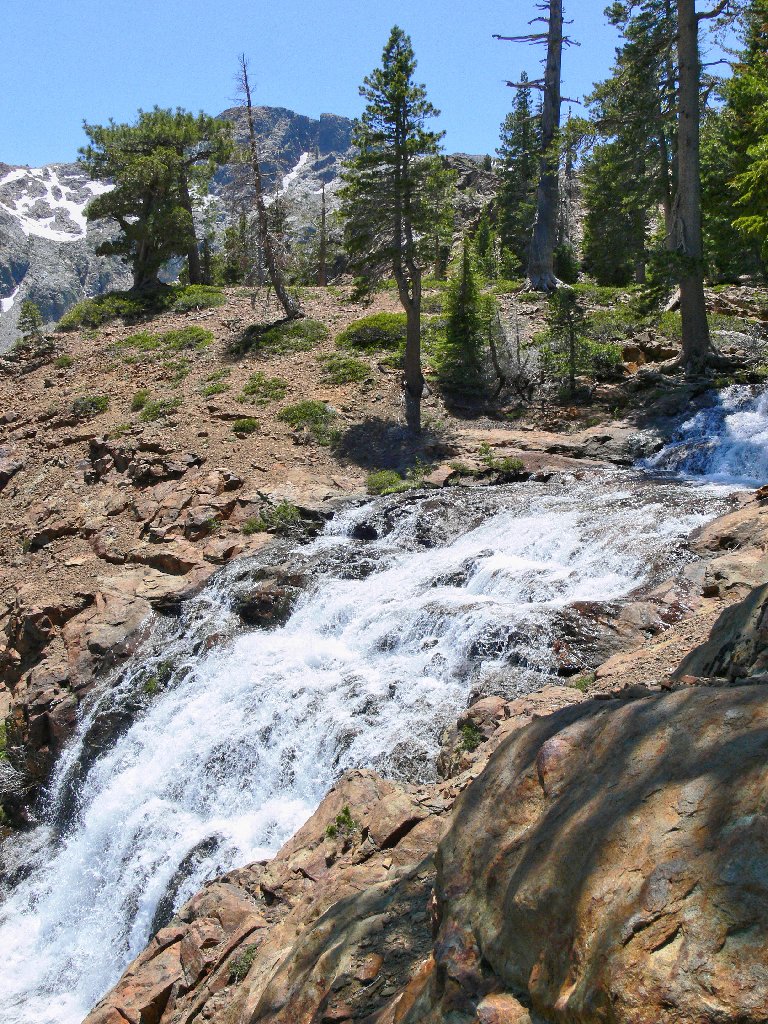
Continuing along the shore of Susie Lake brings me to the outlet creek. I head down the steep hill beside it, because I know something that many hikers do not.
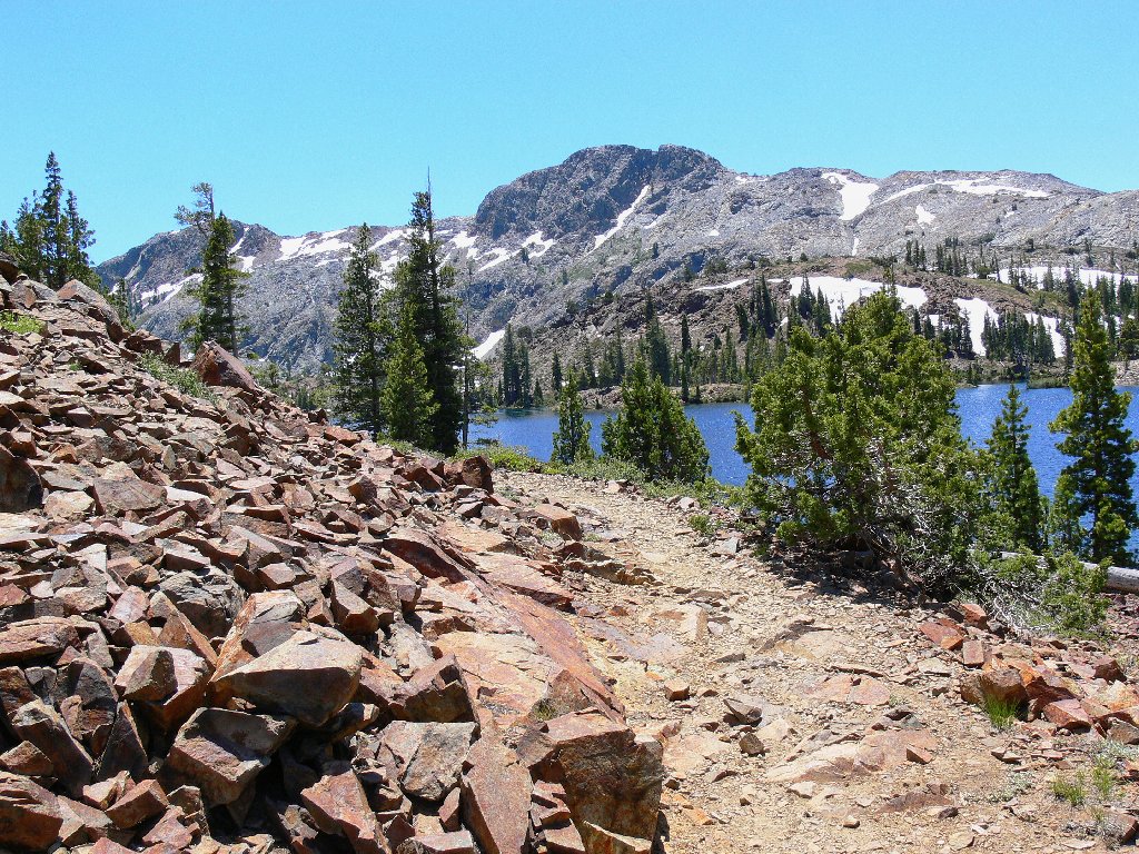
The PCT and Cracked Crag, 8782'
Glen Alpine Creek drains the lake
My efforts soon are rewarded as I reach the brink of a waterfall several hundred feet high!
Grass Lake in the distance
I stop here to munch some gorp and give my feet a rest. Having researched
this route on Google Earth and topo maps, I knew about this wonderful place.
Because it is not seen from the main trail, I daresay that many passers-by
are unaware of the falls' existence. Since the cascade faces away from the
trail, its roar is not readily discernible until one gets pretty close to it.
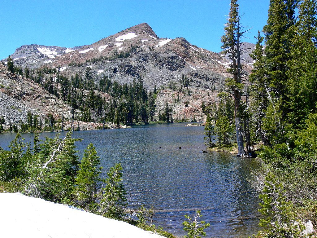
Grass Lake and Keiths Dome, 8646'
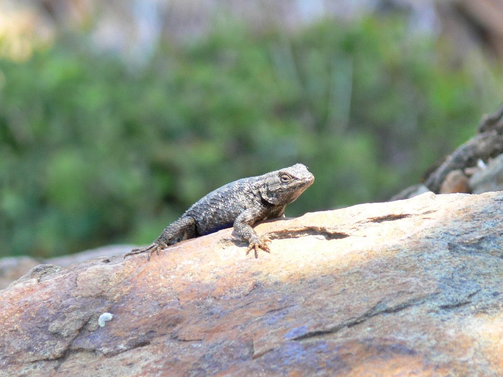
As I sit here, a lizard ogles my lunch. Across the canyon is a little
hilltop that could provide a nice straight-on view of the falls.
I believe I'll check it out on the return.
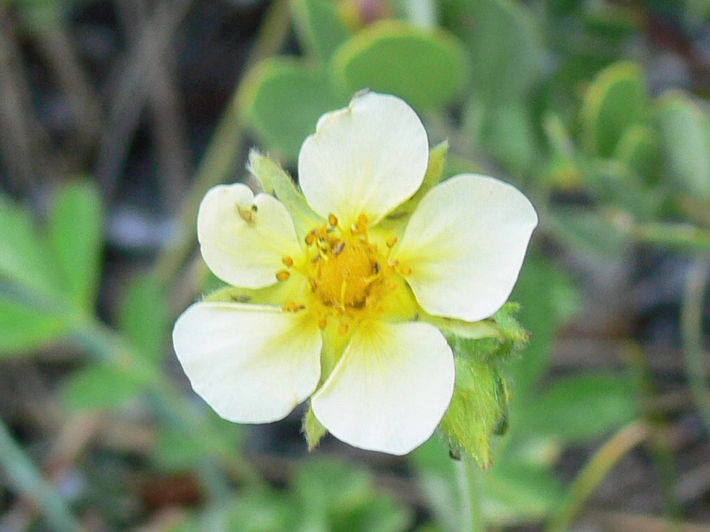
There are a few more flowers around here, nested among the rocks of this arid hillside.
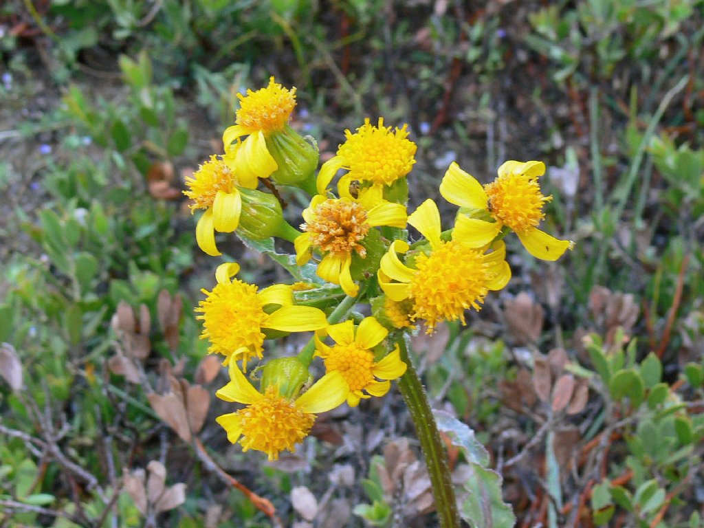
Groundsel
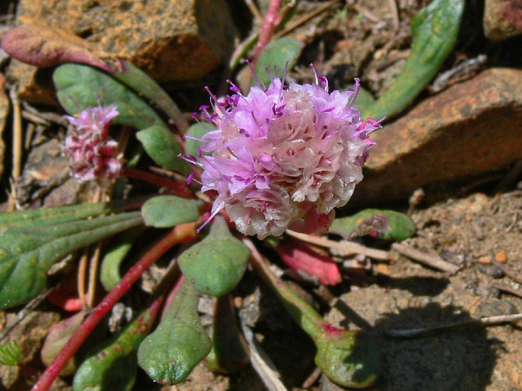
Pussy Paws
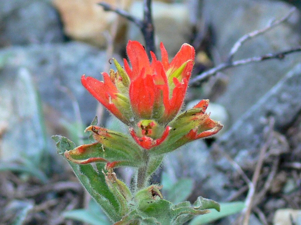
Paintbrush
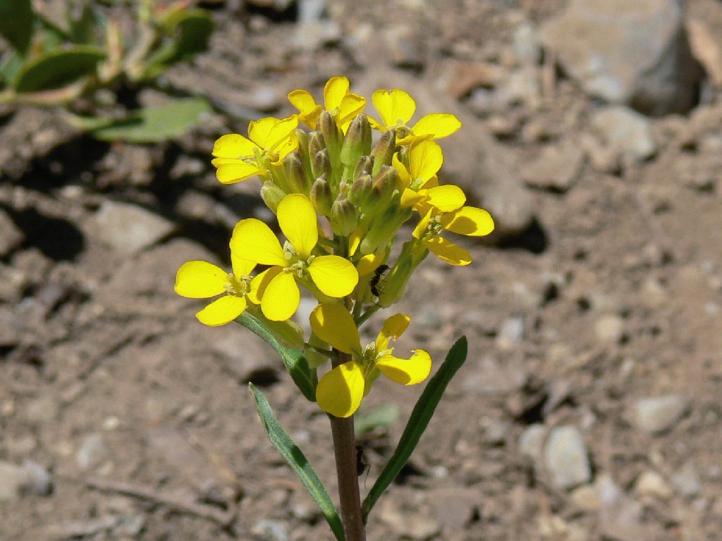
Western Wallflower
By scrambling farther down as close to the cliff's edge as prudence dictates, I am able to get a somewhat better view of the cascade.
The best angle available if you don't have wings
There is a log jam at the lake's outlet. Sooner or later, some of those objects will plunge over the falls. The green lake water looks inviting, but it is much too cold to get any closer today.
Log jam
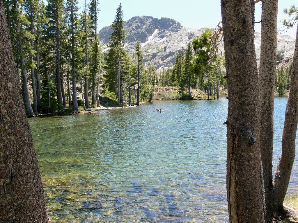
South shore of Susie Lake
Two of my favorite flowers adorn the lakeside. Both of these
early-season residents will be gone within a month.
Red Mountain Heather
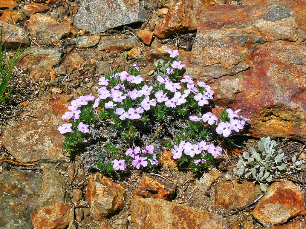
Spreading Phlox
Heading back past the big junction, I pick a likely spot to head
cross-country across the talus on the west slope of that little
hill that I had spotted earlier. An otherwise great view of the
cascade is somewhat marred by tall trees obstructing the view.
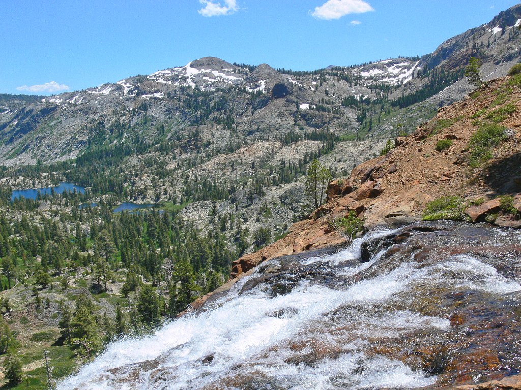
In the distance is the beloved Crystal Range. Never before have
I seen that granite slab entirely snow-covered. Lake Aloha
and Desolation Valley lie at the base of those mountains less than two
miles from here, out of sight below the wall of white. Even closer
is Heather Lake, which I never have seen.
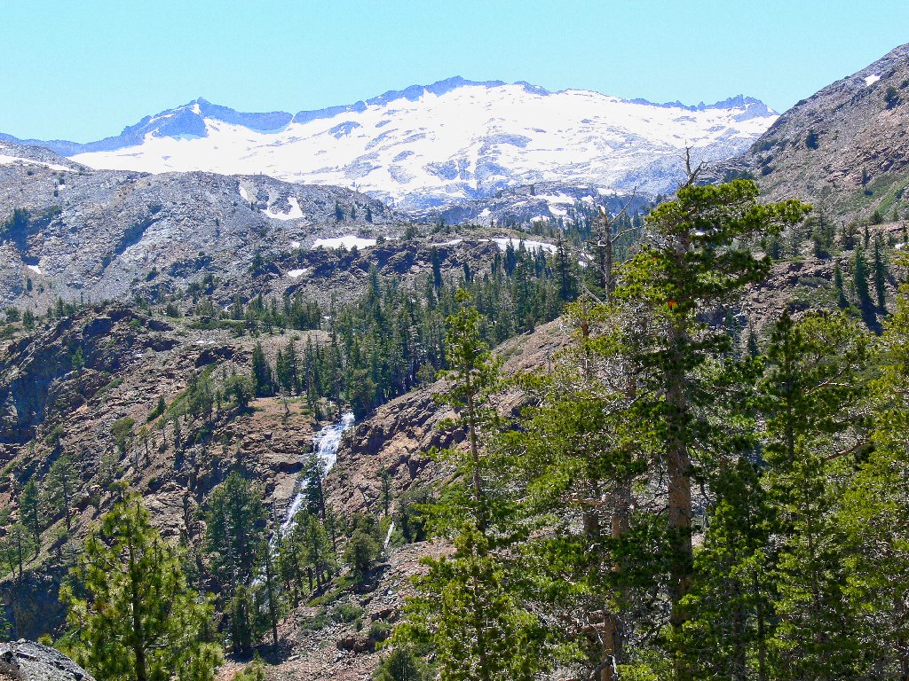
Mount Agassiz, 9967', Mount Price, 9975', and Peak 9438
All that snow suggests great hiking in Desolation Valley in a few weeks' time. In truth, though, my favorite local haunts are on the other side of that mountain range.
The walk back is pretty much just a formality. I am traveling relatively
slowly now in deference to my somewhat tender feet. It's not just the gruss
that is difficult; these two-foot-high stone steps in the trail are hard
on the knees.
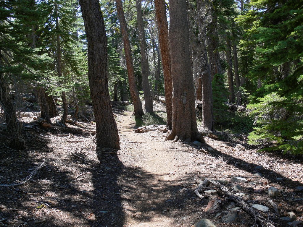
Shady trail
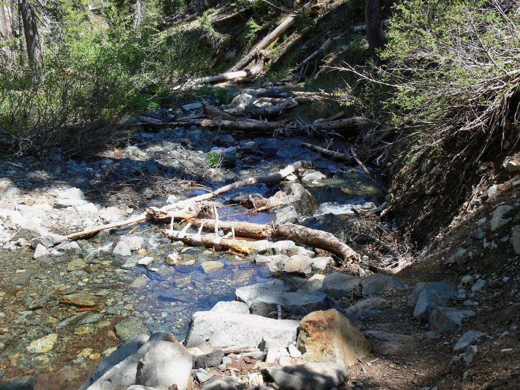
Stream crossing
A lot of butterflies are flitting about a certain section of trail. I need only to sit down, set my camera on a high shutter speed, and wait. A passing hiker mentions how many there are today; I suggest that she try the Twin Lakes or Gertrude Lake trails if she would like to see butterflies by the thousands.
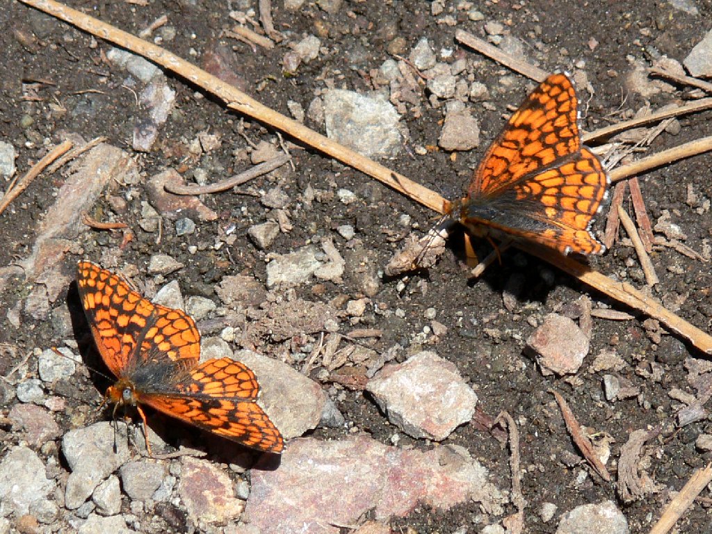
Northern Checkerspots
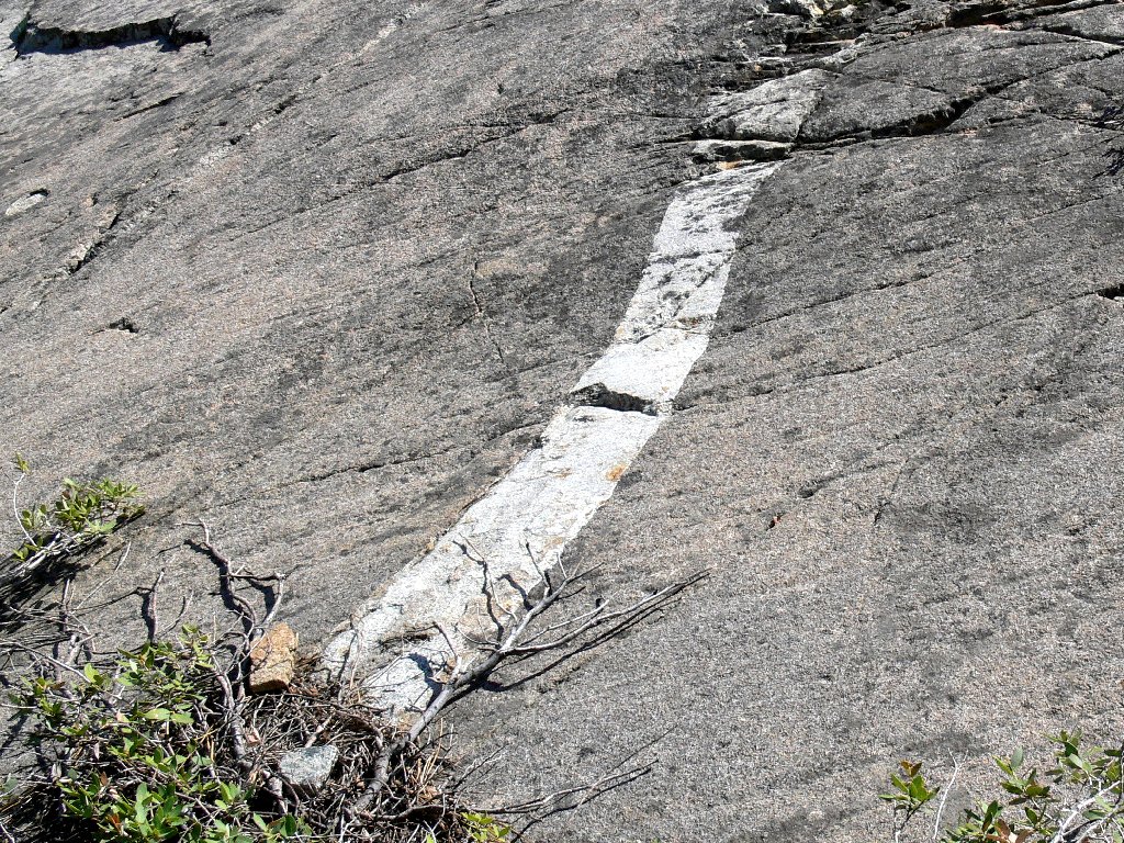
A couple more flowers and an interesting stripe in the rock get me to the
final series of switchbacks. It is approaching 80° now as I use
up the last of my water near the end of the walk.
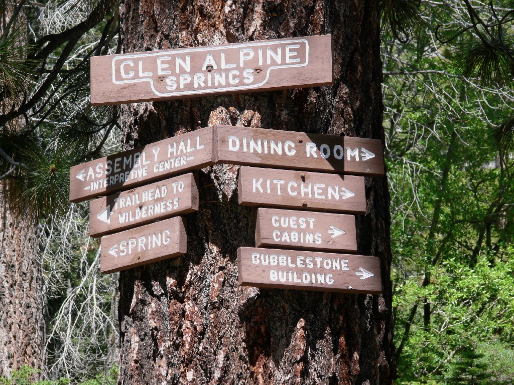
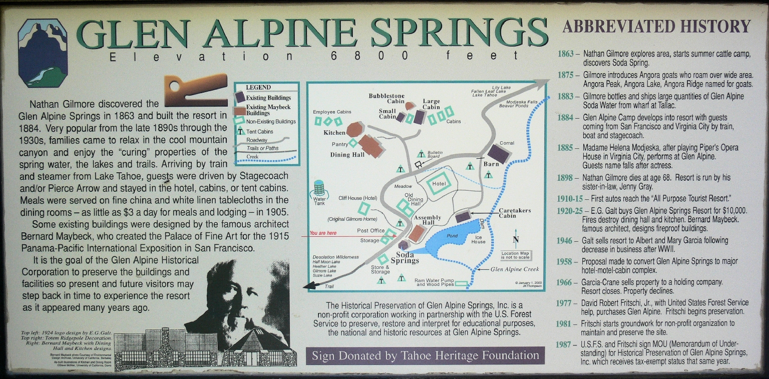
A handy sign details some interesting historical facts about this area.
⇔
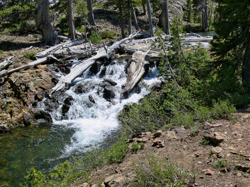
Beside the one-lane road between the trailhead and Fallen Leaf Lake is a marvelous cascade, over which flows all the water collected from thirteen lakes. Lining the cliff side above are several summer homes with stunning views of these falls. Photographs don't do this place justice; when you come this way, make the effort to stroll over for a good view.
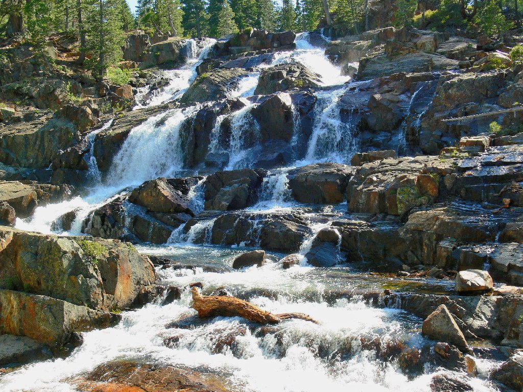
Glen Alpine Creek Falls
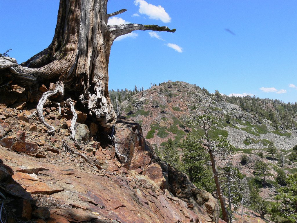
Just below the falls, and just below a million-dollar summer home, a remarkable tree seemingly has sprouted from the rock itself.
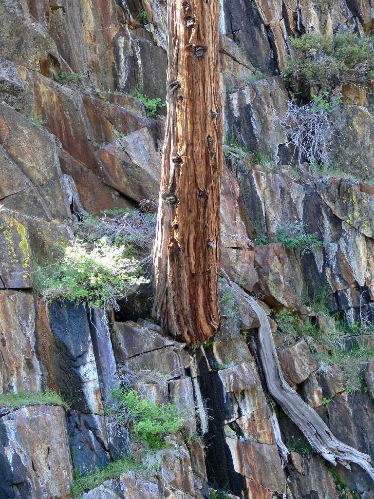
Where are the roots?
§: The harshness of the trail probably wouldn't be a big issue with
younger folk who never have experienced such maladies as sore feet. In any
case, this is a beautiful area, worthy of any effort. When visiting here,
be sure to include the short detour to the brink of Susie Lake Falls.
| Scenery |  |
| Difficulty |  |
| Personality | |
| Solitude |  |
