
Tahoe NF
|
Glacier Lake Loop Tahoe NF |
September 7, 2008
Last year I came up here to Grouse Ridge too early; the last two miles of
road were snowbound. This year I have waited until late in the season,
determined only to explore a trail that is new to me. The access road,
albeit passable in any vehicle, is quite bumpy. The 5.6 miles
to the trailhead takes nearly thirty minutes in my Outback.
The first mile of walking is all downhill — not the preferred
scenario. Along the way, I stop to admire the always impressive
Sierra Buttes to the north. Although they are only about 25 miles
away, it's a two-hour drive over there.
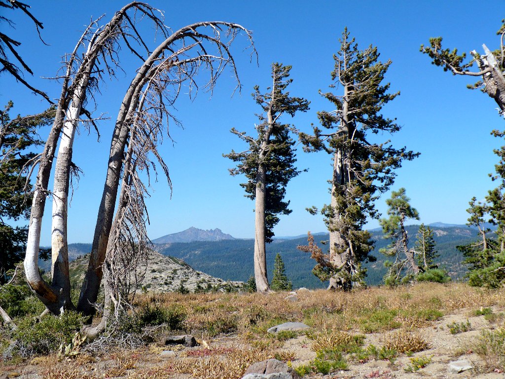
Sierra Buttes, 8857'
Just past a spur leading toward Downey Lake is a major junction.
The Grouse Ridge Trail veers left toward the Crooked Lakes area, which is
more easily accessed from the Carr-Feely Trailhead. Shortly
after that is another junction with the Old Sand Ridge Trail; keeping to
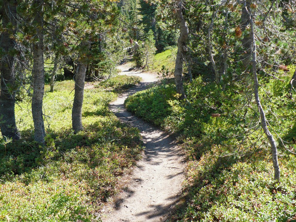
the right puts me on the newer Glacier Lake Trail, vintage 1980s.
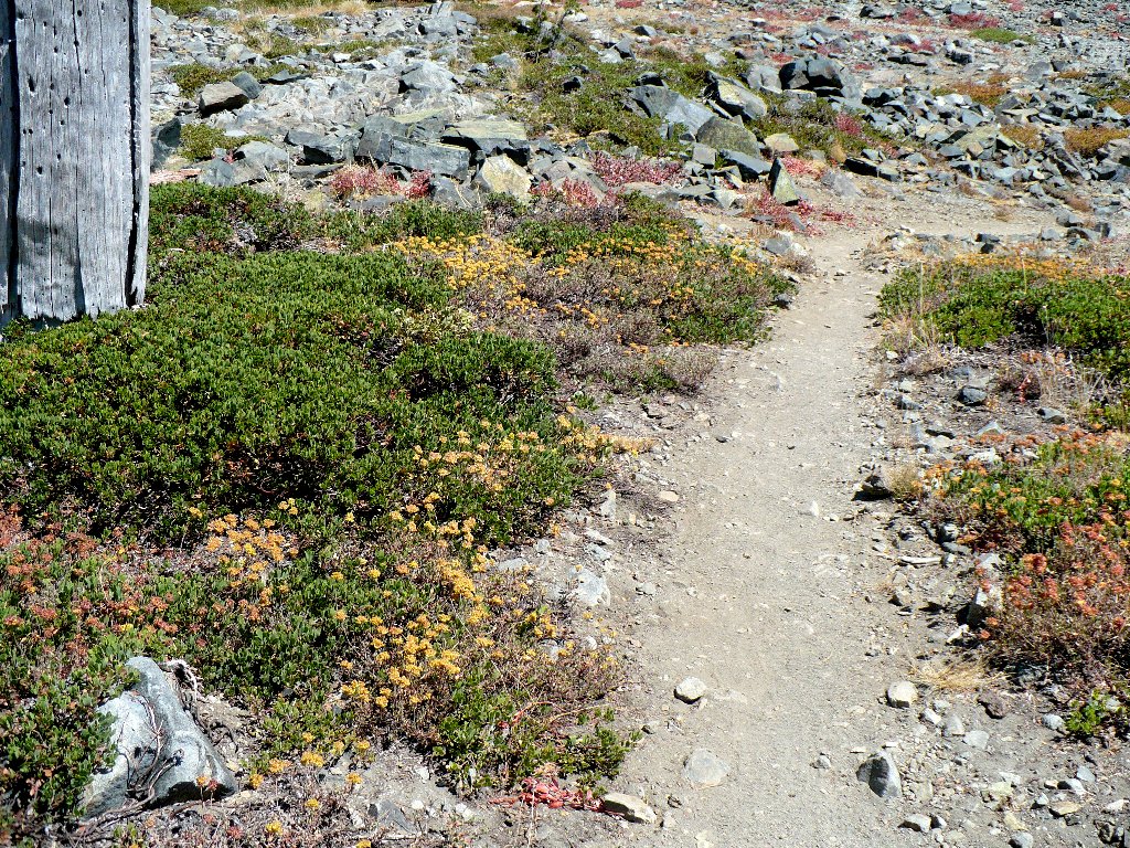
Although it is easy walking, Forest Service maintenance has been remiss;
in perhaps a dozen places a fallen tree blocks the trail, forcing a
detour. At one such obstacle I pass a foursome of middle-aged
backpackers that started out just ahead of me. From here the trail
becomes somewhat greener.

The only humans I would see on this outing
It has been quite dry to this point
Several times I hear what sounds like a noisy dirt bike; but that seems strange, for this is a motor vehicle closure area. Soon the mystery is solved, as I also hear what sounds like a cowbell gaining on me. I step off the trail and watch as Bessie the Cow passes by, clanking and mooing, at a speed that I would find difficult to maintain.
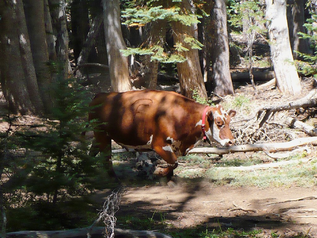
Bessie is on a mission
A quarter-mile later, I see that the cow has joined three friends in the meadow. Just after I pass by, Bessie takes off back down the trail from whence she came, alone. Go figure.
While crossing a dry creek bed, I encounter the only blossoming flowers to be seen today.
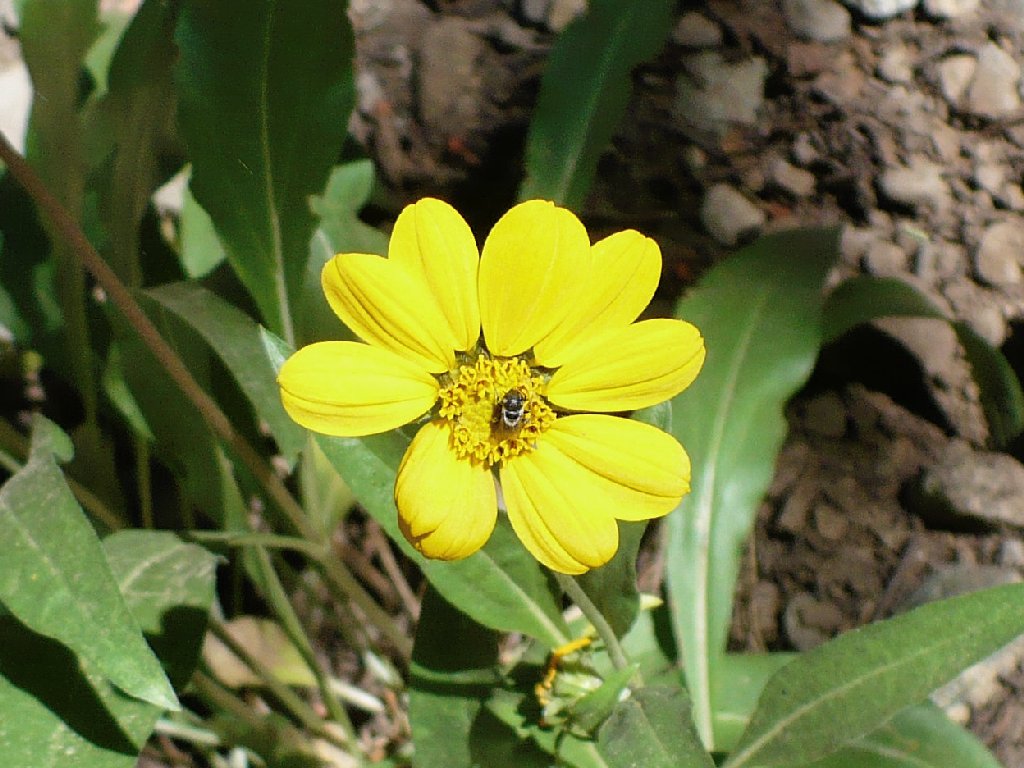
(Arnica)

A lone Checkerbloom
I really miss the flowers; they pretty much dry up in the Northern Sierra
by mid-August. Beside this section of trail are the remains of
some buckwheat and a couple of other hardy types.
The Buckwheat have just about had it
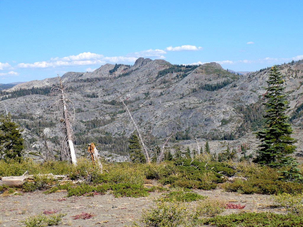
Atop this hill I am treated to my first-ever close-up look at the Black
Buttes. Although they can be seen from Interstate-80 on the
other side, this view is much better.
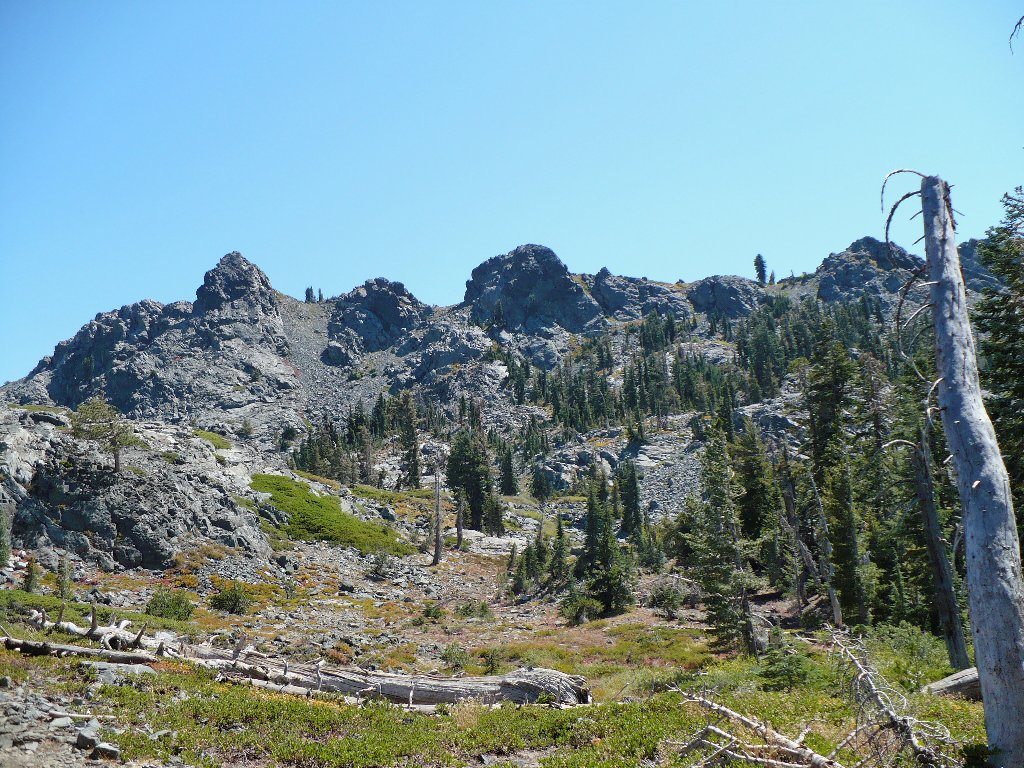
Black Buttes, 8028'
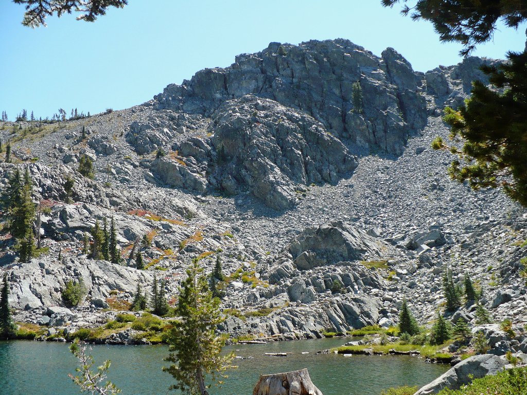
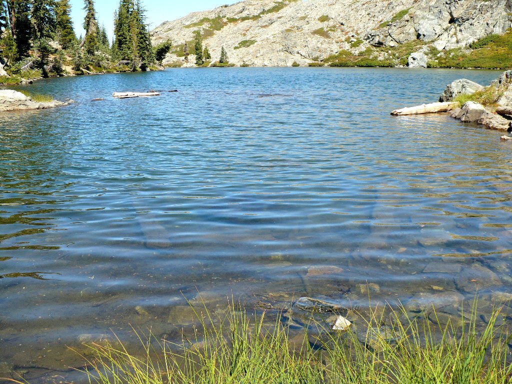
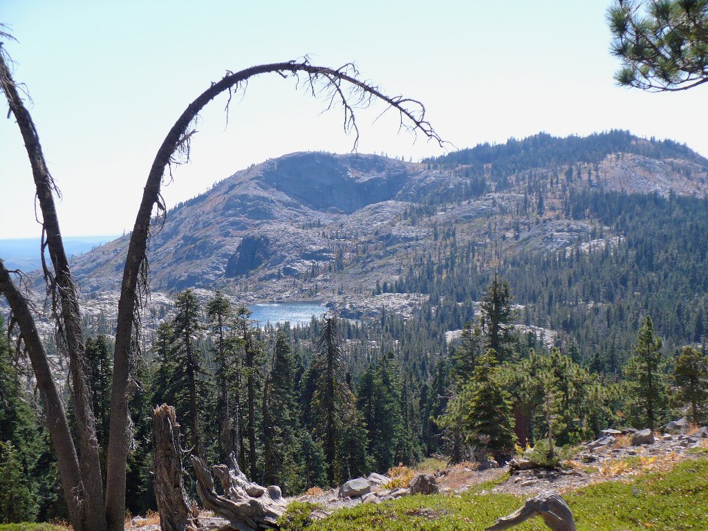
At the base of the buttes is beautiful Glacier Lake, today's objective. One of my books says that this is the coldest lake in the basin, it being the highest. A finger test does indeed suggest that the water temperature is rather lower than it might be, so I will forgo a swim today.
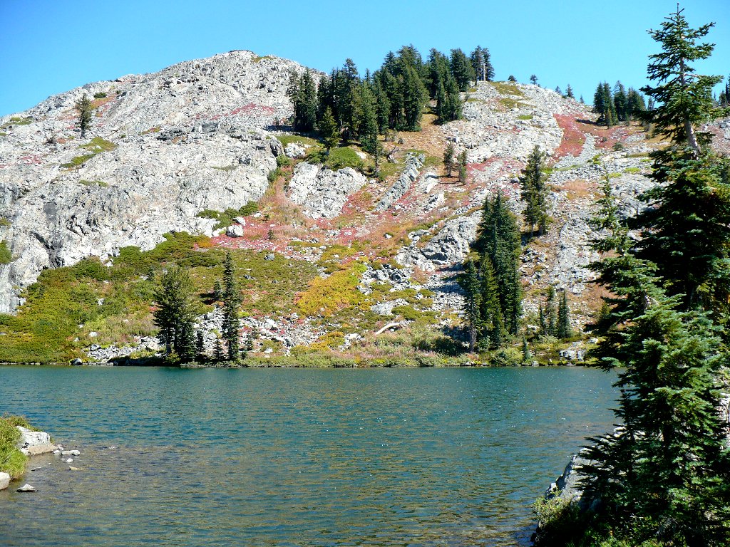
Glacier Lake
The highest butte is only about 500 feet above the lake, meaning that a climb to the top would not be difficult. Perhaps next season I'll bring some friends and do just that.
The summit is inviting
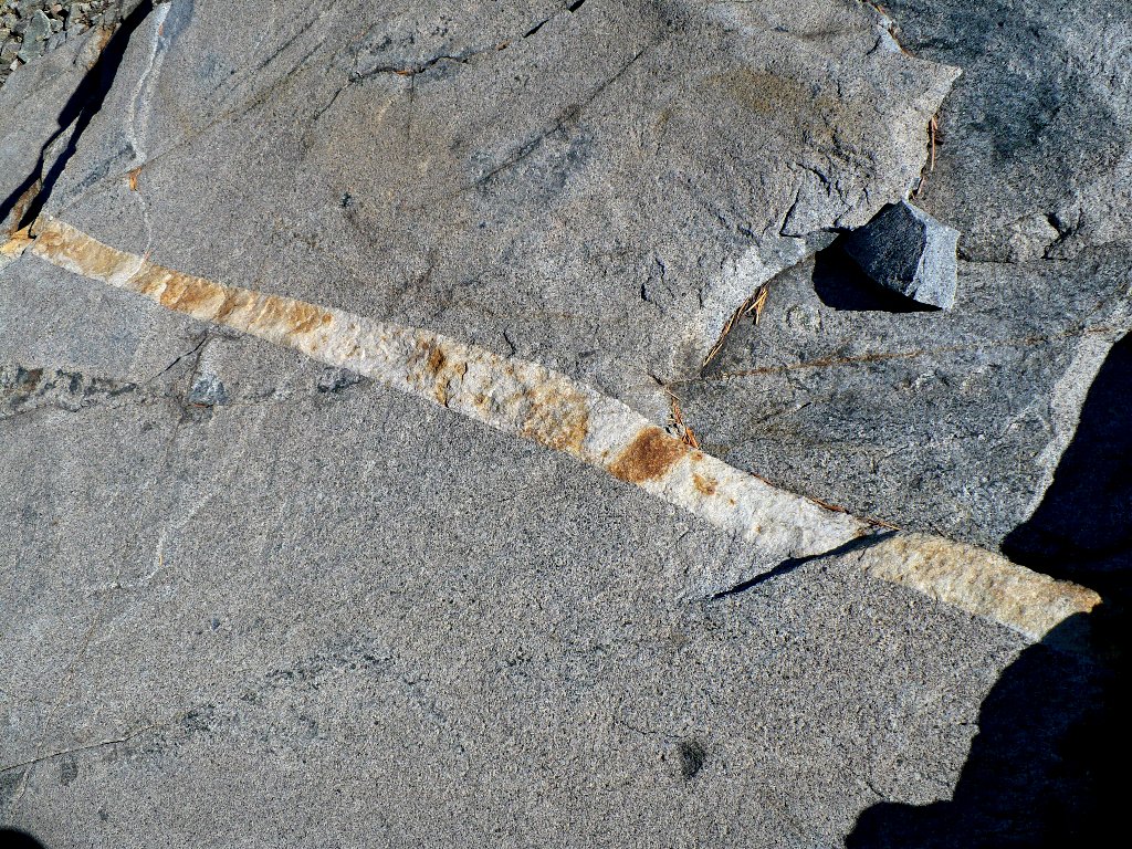
As I rest at lakeside with my boots off, munching dried fruit and trail mix, an interesting boulder across the way displays its formerly turbulent history.

This guy has seen some action
Leaving the lake area, I encounter a nice campsite replete with stone chairs, presumably for gazing at the nearby scenery.
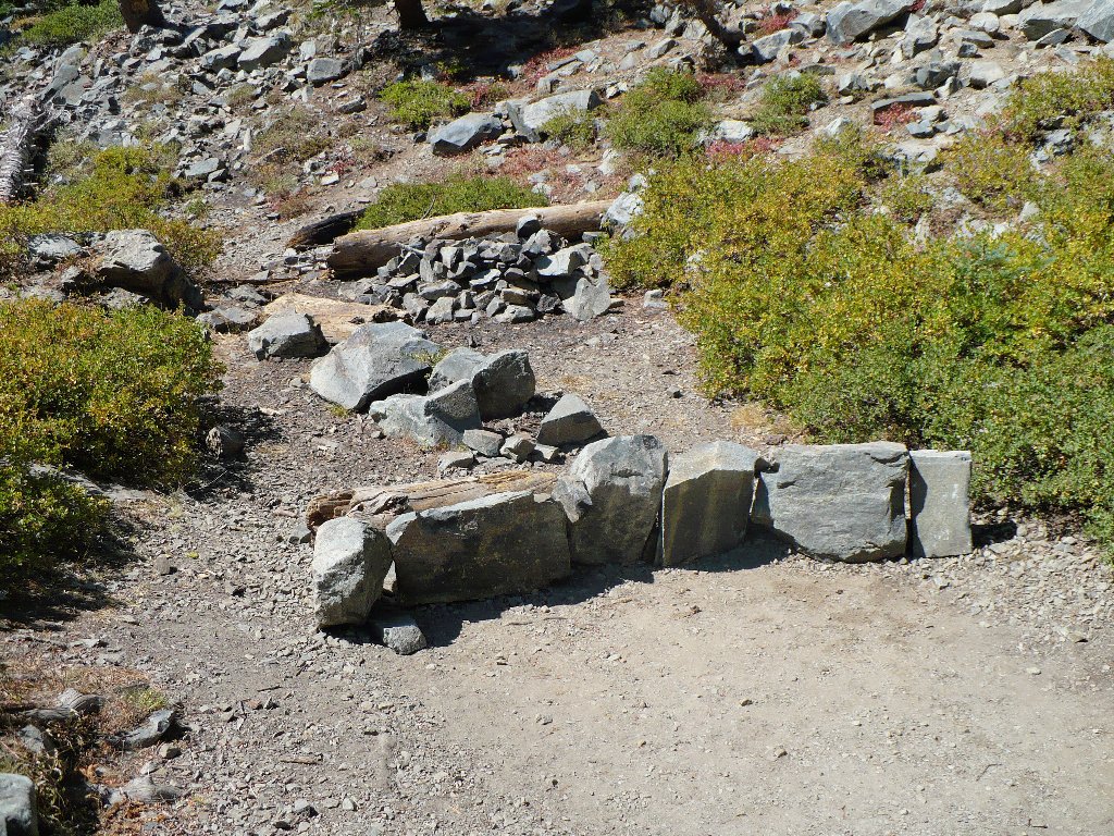
Someone put a lot of work into this campsite
Glacier Lake
Just before starting back down the switchbacks, I spot a little pond off to the right.
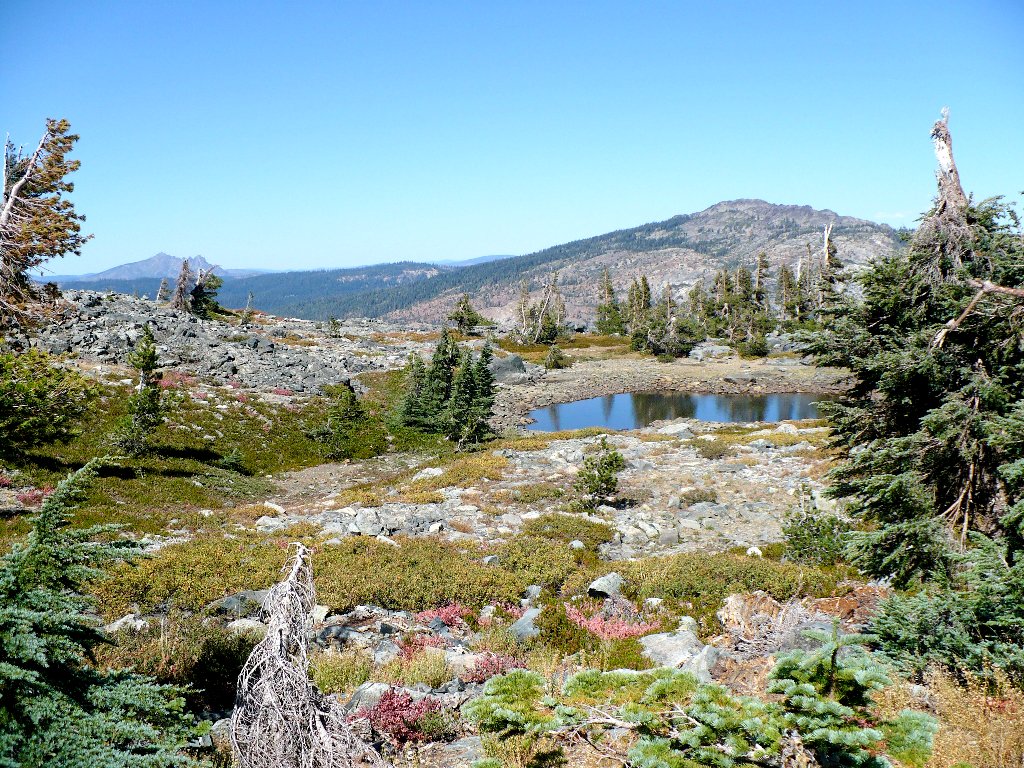
Haystack Mountain, 7391'
My map shows a trail running the length of Sand Ridge itself, just a bit
to the north. This suggests a cross-country venture past the
pond, northwest to the big hill. It is a pleasant half-mile
effort replete with more ponds and some nifty rocks.
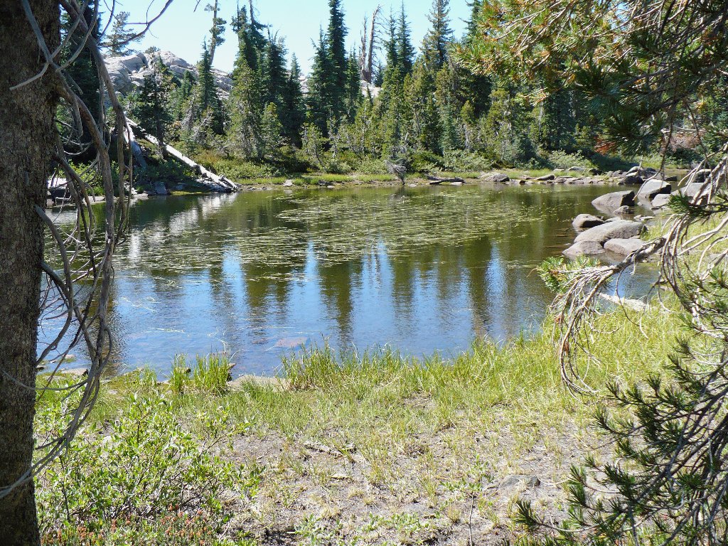
No-name pond

Christmas Berries
Nice formation
The trail atop Sand Ridge is an old two-track logging road, quite different from the newer trail. Down below the route is forested and cooler, but with no views. Up here it is hot and dry, but one can see in every direction.
Looking east back toward Black Buttes
The view westward toward the Grouse Ridge Lookout
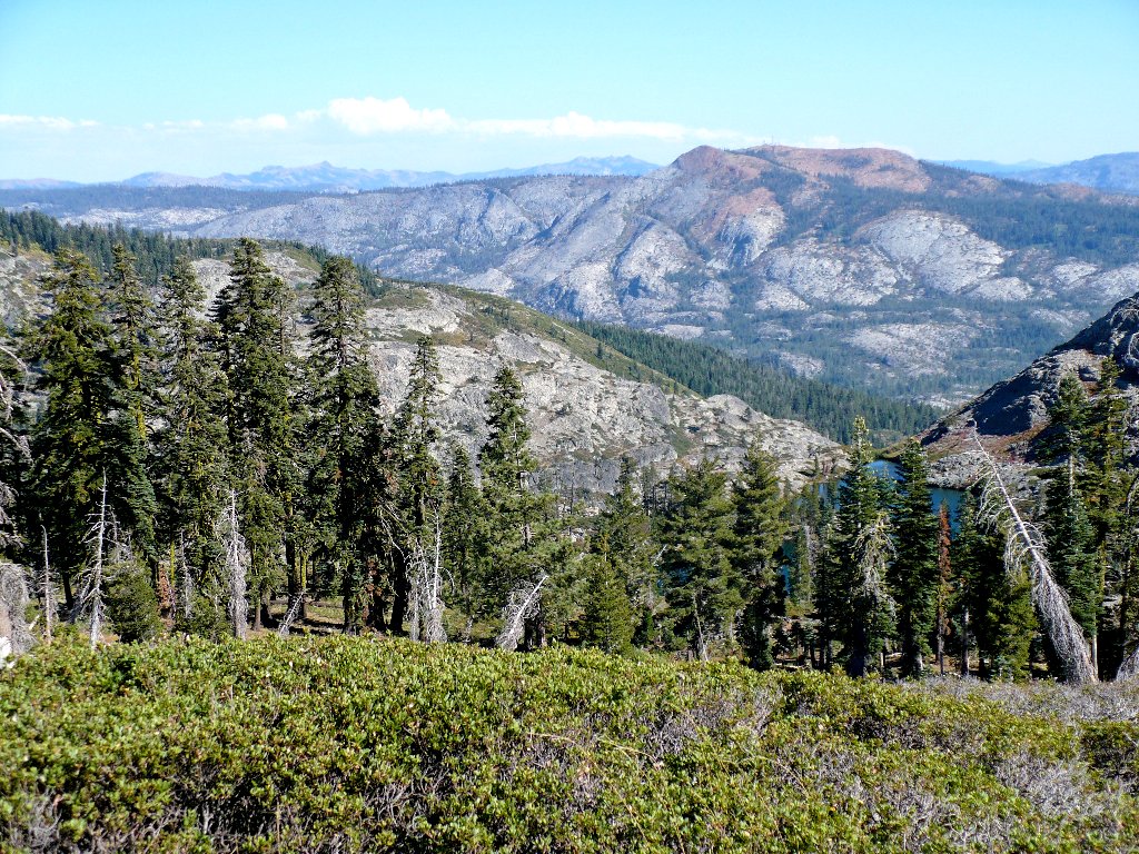
This route is somewhat unusual in that the area of the trailhead is in sight
much of the time, even though it is up to four miles away. As I approach
the western end of Sand Ridge, there are more nice views of the lakes basin.
After hiking down off the hill, I must negotiate the last leg of the
return — a 500-foot uphill effort that leaves me tired,
but happy.
Downey Lake, with the trailhead well above to the right
Sanford Lake below, with Signal Peak (Red Mountain) behind
§: This loop proved longer than anticipated, which explains why I am weary
now. Of course, the hike would have been much nicer earlier in the season.
| Scenery |  |
| Difficulty |  |
| Personality | |
| Solitude |  |
