
Mokelumne Wilderness
|
Woods Lake Loop Mokelumne Wilderness |
August 25, 2008
Last year I did this loop on August 7th, logging a personal record variety of flowers. Having missed a visit to Round Top Lake previously this year, this seems like a good opportunity to see what the area is like so late in the season, if only for future reference.
As per my prior recommendation, this loop will be done in counter-clockwise
fashion. By parking at the picnic area instead of the relocated trailhead,
nearly a mile of uninteresting walking will be eliminated.
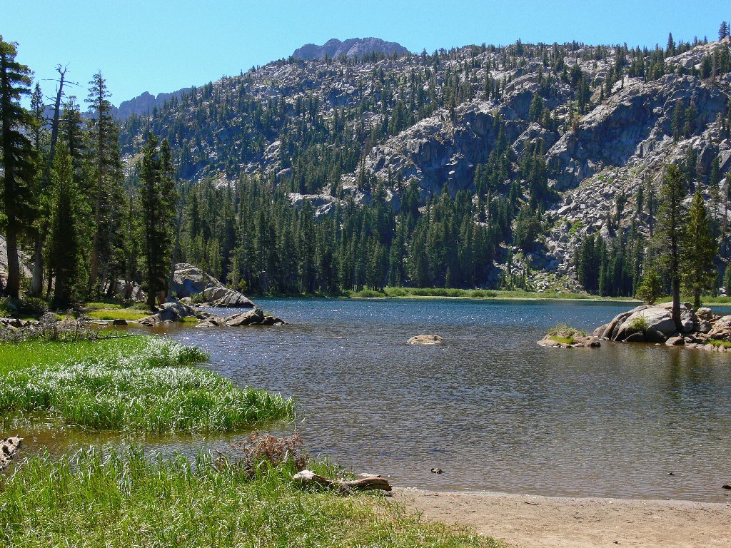
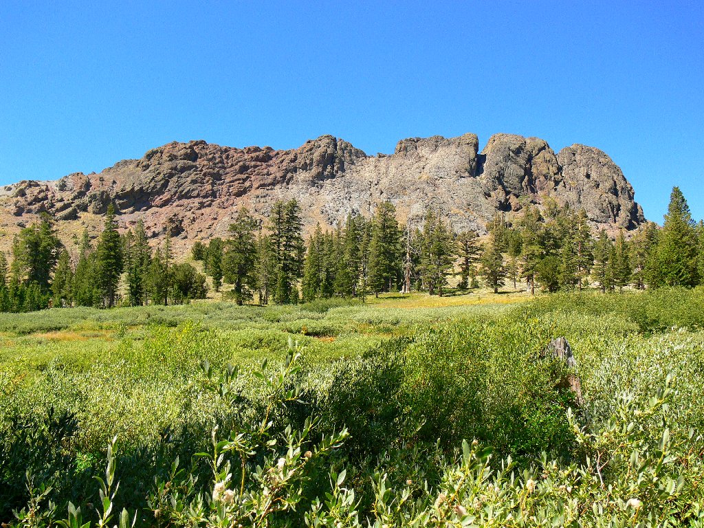
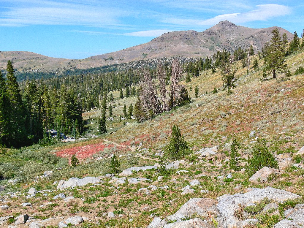
Woods Lake
It appears that there is no direct connection with the trail from the picnic area, but I locate a shortcut behind the campground. Virtually all of today's climbing will be accomplished on this first leg of the triangular loop.
It doesn't take long to reach the site of the old Lost Cabin Mine, which displays a warning sign apparently left on the tree for sentimental reasons. Not only has this place long been inactive, but there is nothing worth taking anyhow.
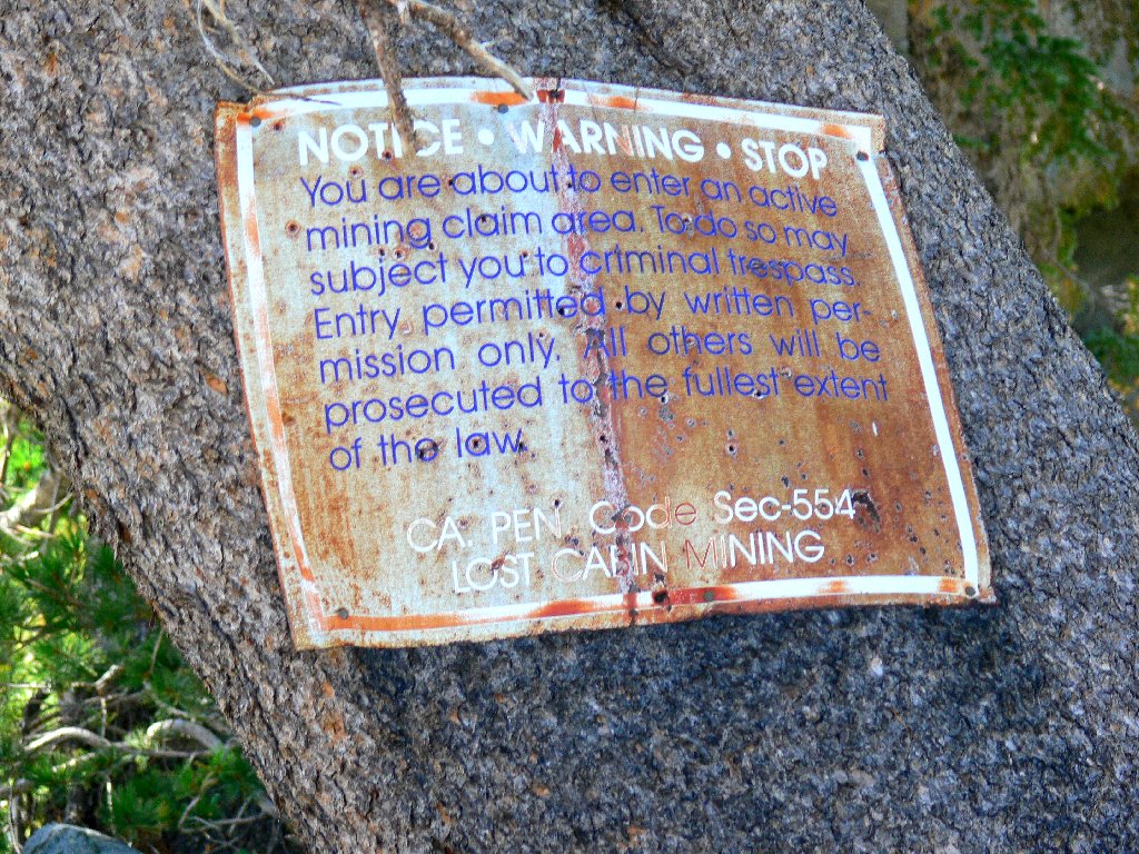
I hope they don't arrest me
The nearby meadow is pleasant, yet relatively bland. Most of the flower types that I am accustomed to seeing here simply aren't around today; it's too late in the season. One exception is Grass of Parnassus, a late bloomer species that I first encountered ten days ago in Lundy Canyon.
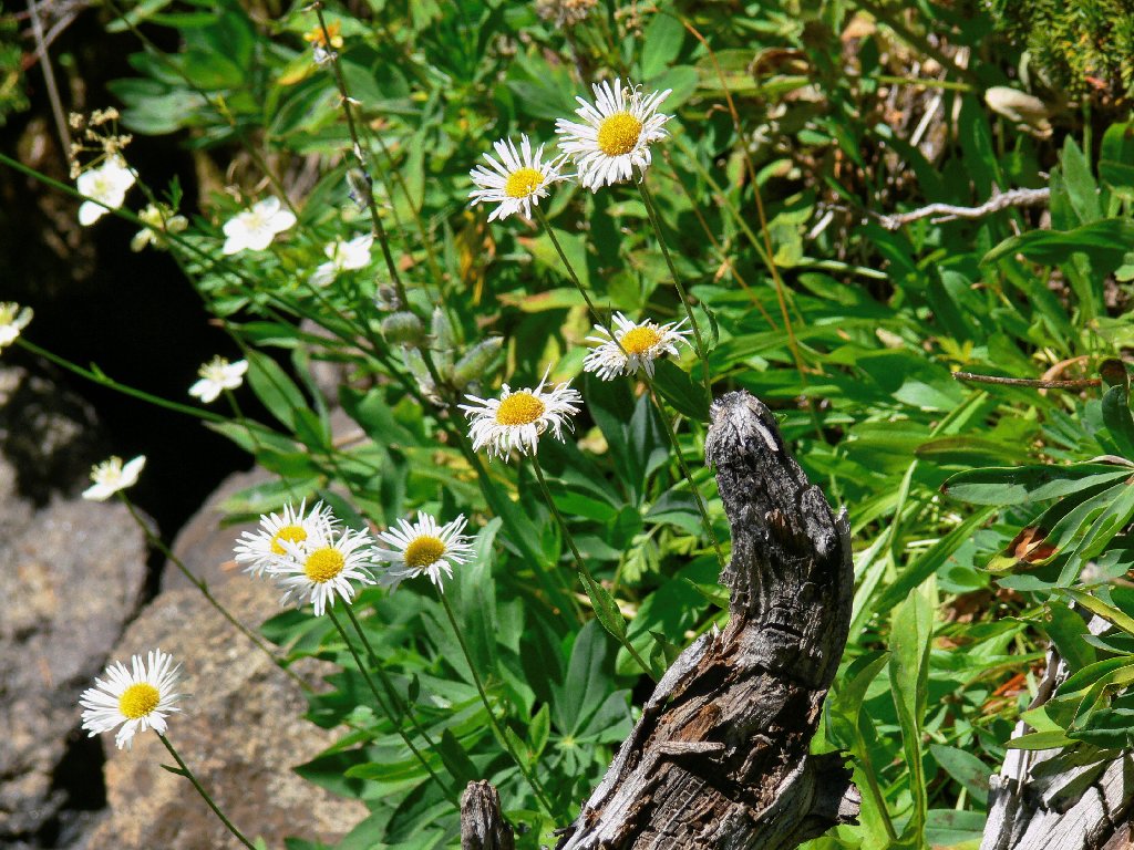
Mountain Fleabane
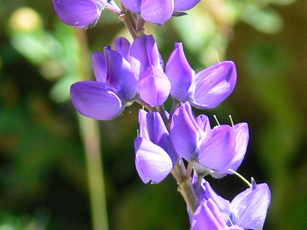
Some Silver Lupine remain
The meadow houses the drainage for Round Top Lake
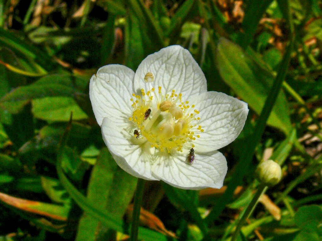
Grass of Parnassus
A few butterflies are still hanging around; I might have photographed this guy's father last year:
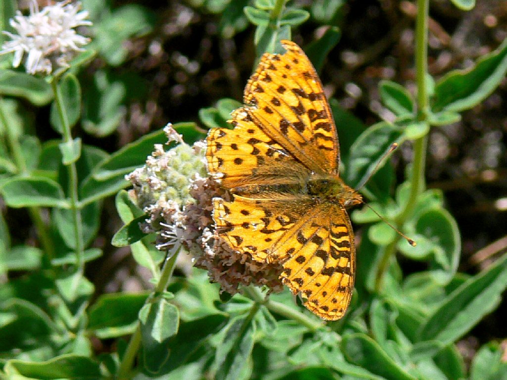
A Zerene Fritillary, I presume
I am running unaccountably short of breath today, having climbed less than
a thousand feet in two miles; and it's not even hot. I'm feeling otherwise
rather crappy as well. Is this my first bout with altitude sickness,
or am I just off my feed? Yes, that must be it; the elevation here
is only about 9,000 feet.
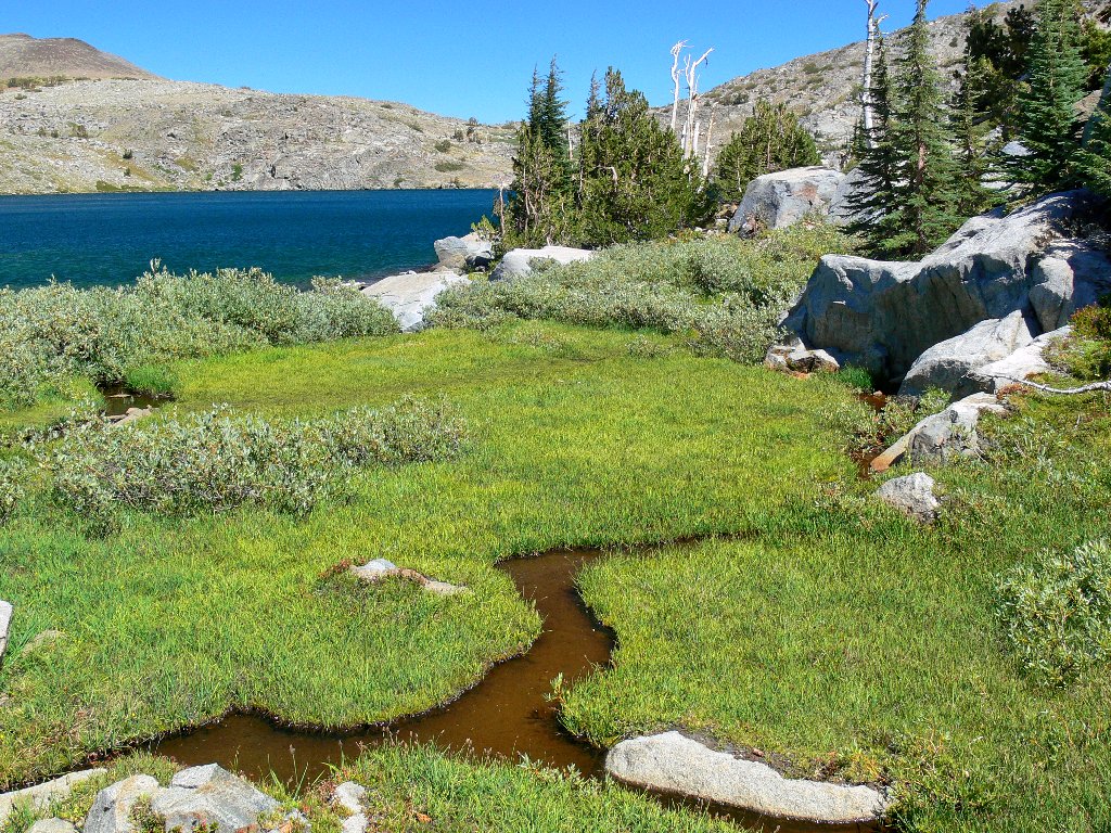
For the last quarter-mile or so I opt for a direct cross-country path that should take me to the far end of the lake. An interesting feature of any cirque lake is that its location is obvious, yet it invariably is hidden behind a moraine as one approaches from below.
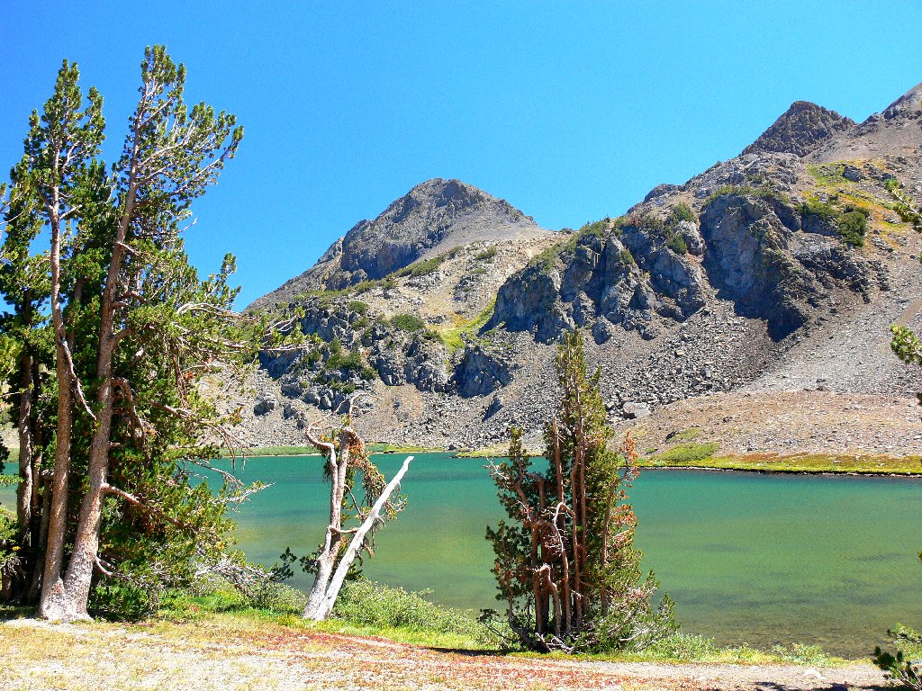
Uniquely colored Round Top Lake, 9365'
Another view, including Round Top, 10381'
The wind is very strong today — enough so that I don't know why anyone
would want to scale a high mountain, but there are four or five folk far up on
the scree slope. A lone white-haired hiker greets me here, explaining
that he was unable to join his companions for an ascent of Round Top due to an
ongoing bout with diarrhea. I understand his dilemma, I guess; it's a long
way up to base of the summit block, with no privacy in an emergency.
Without pausing even for a snack break, I follow the trail eastward up the rise, then detour to a nearby high point to check out the scenery. My reward is a view of Caples Lake, which would not otherwise have been seen during this hike. Also in view is the biggest of three ponds lying just above Winnemucca Lake, also not visible from the regular trails. An interesting route down the other side of the rock jumble is too compelling to resist.
An inviting rock pile
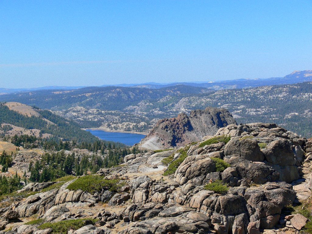
Caples Lake
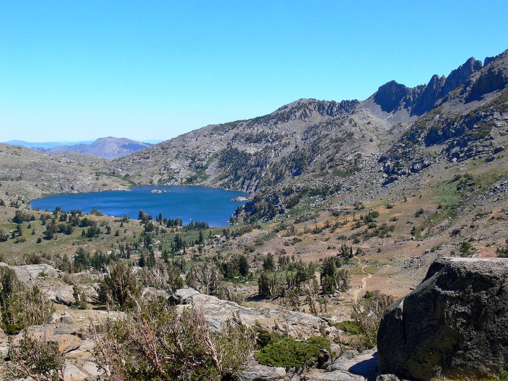
Always photogenic Winnemucca Lake

A normally unseen, unnamed tarn
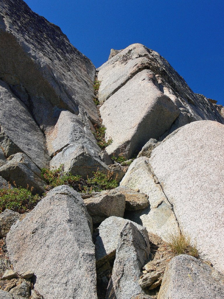
My route down the rock — not as scary as it might look
I was hoping to see a lot of rock fringe in this area, but there is nothing today; what a difference two weeks can make. There is but one small patch of snow hugging the north face of the mountain; it is enough, however, to provide a trickle of stream flow for a time.
This creek will be dry soon
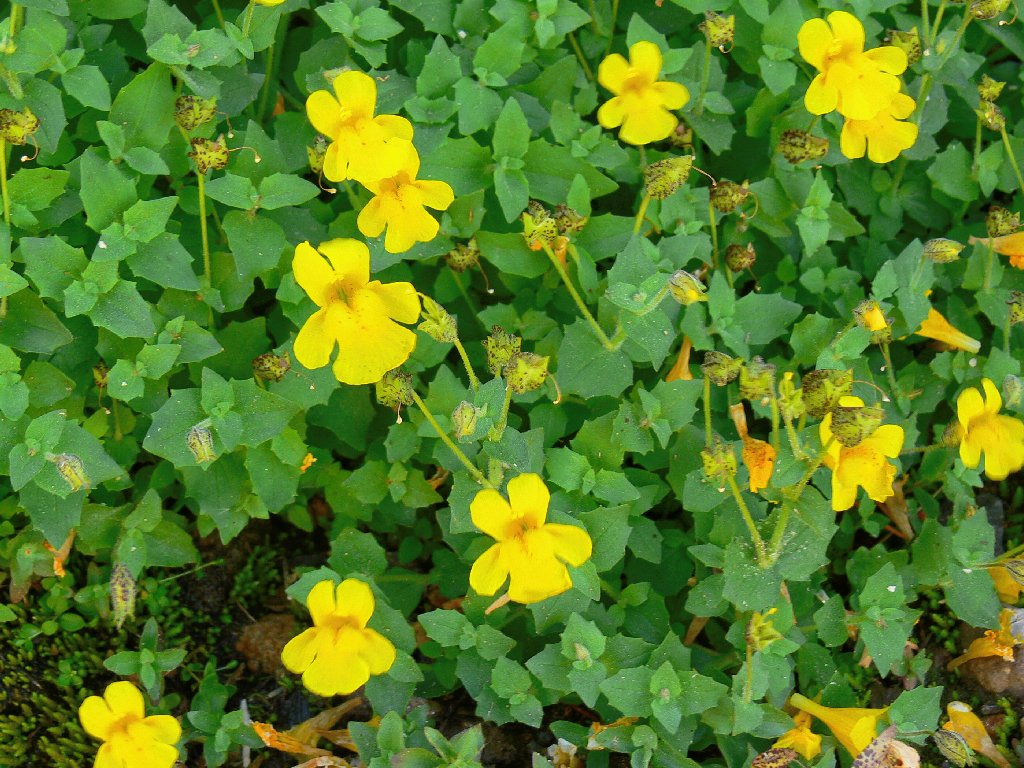
Monkeyflowers
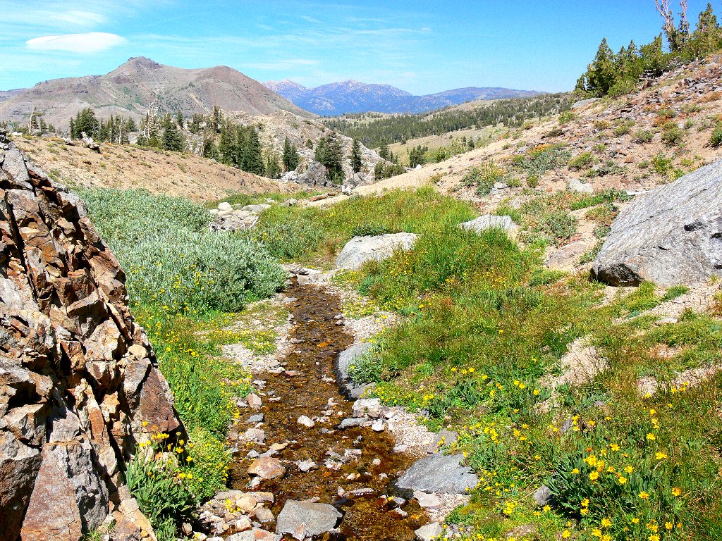
The little creek at lakeside is reddish-brown, as usual. A glance down
the final lap of the trail reveals the most color that I would see today, even
if it is just dried-up plants. Another glance at the mountain serves
as a reminder that civilization (as most perceive it) is not far away.
'Red' Creek and Winnemucca Lake
The 'colorful' trail down the hill, and Red Lake Peak, 10069'
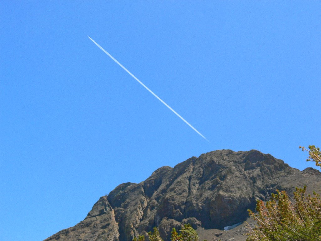
Are aliens landing on Round Top?
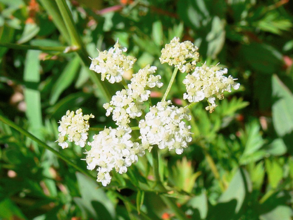
There actually are a few flowers on this segment of trail, including a new (albeit poisonous) one.
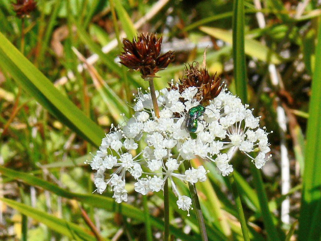
The Yampah are delightfully delicate
Alpine Aster
Water Hemlock — Socrates's nemesis
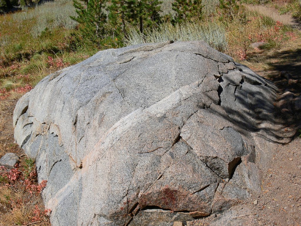
At the wilderness border I grab a final shot of the mountain, next to a rock with a fascinating composition.
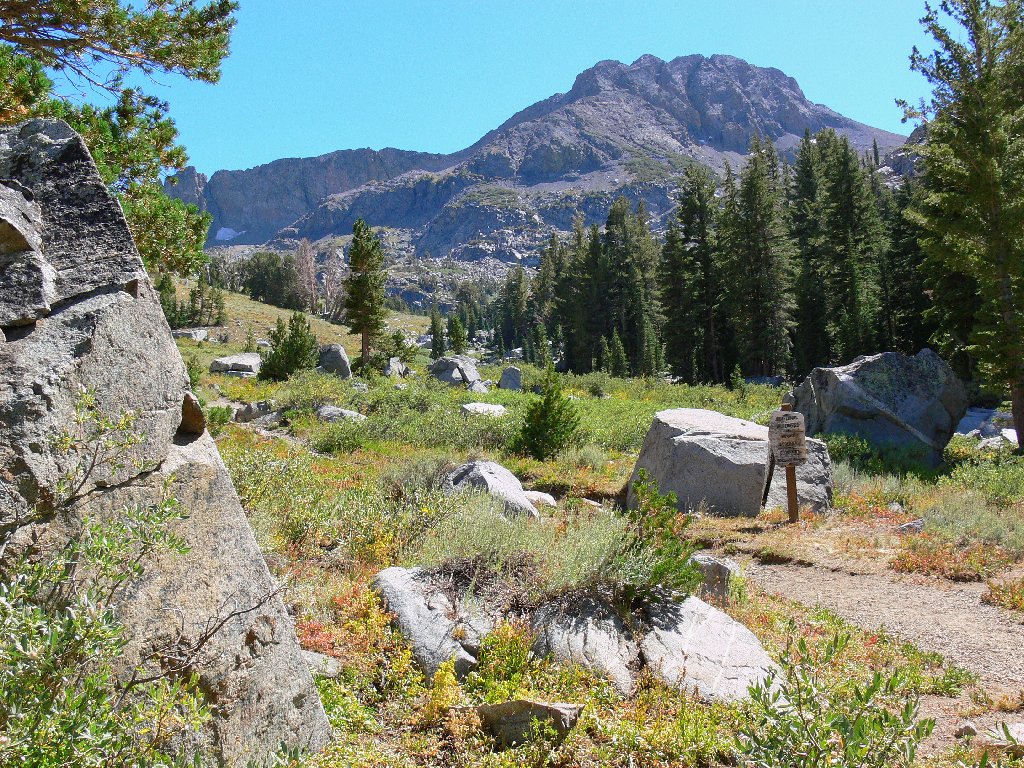
So long to the wilderness
Lines are in!
Near the trailhead is an unusual historic feature called an arrastra.
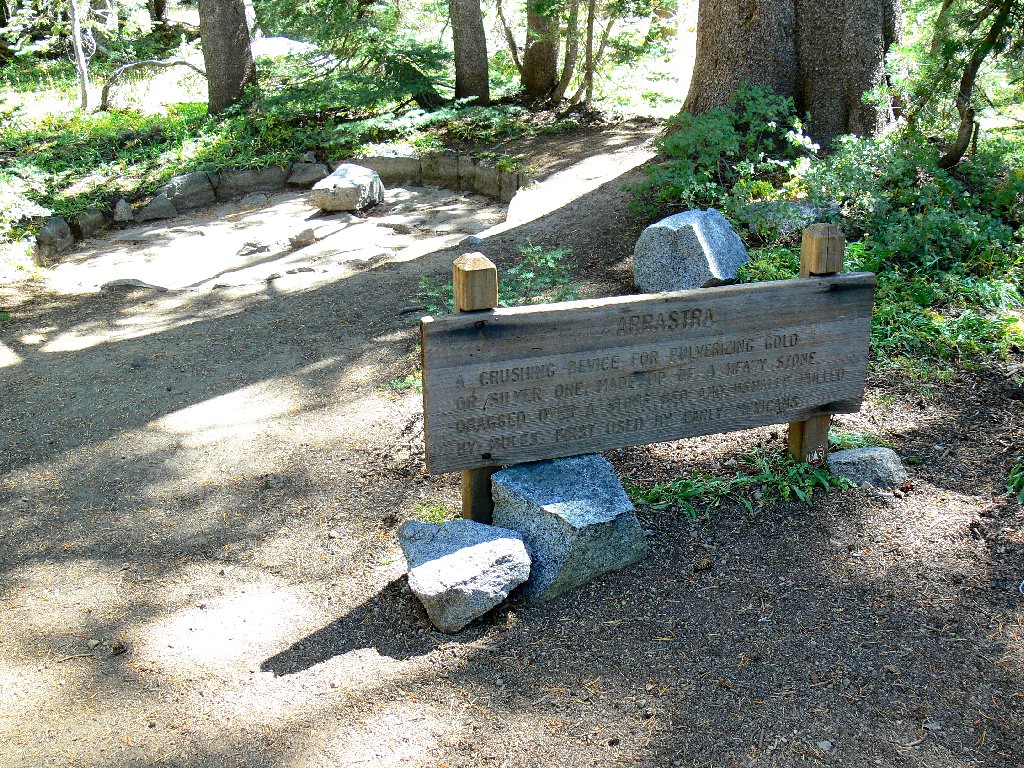
A Mexican ore-crushing system
Transplanted Sonoran gold miners used this device. A mule, or the miners themselves, pulled heavy stones over quartz ore to crush it, with the aid of a log boom. Gold was then separated from the pulverized rock in wooden bowls.
Nearby, an unidentified butterfly species catches my attention.
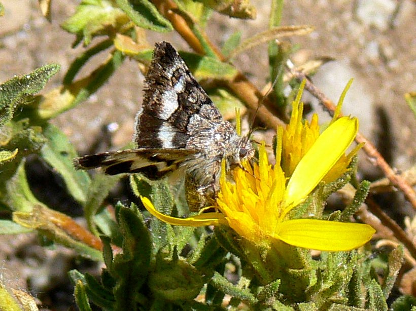
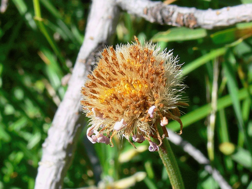
Enjoying the Ragwort
A woman resting beside the trail comments that the strong wind must be what is keeping the birds so quiet. I observe that the gale wasn't very conducive to my photographic efforts, either.
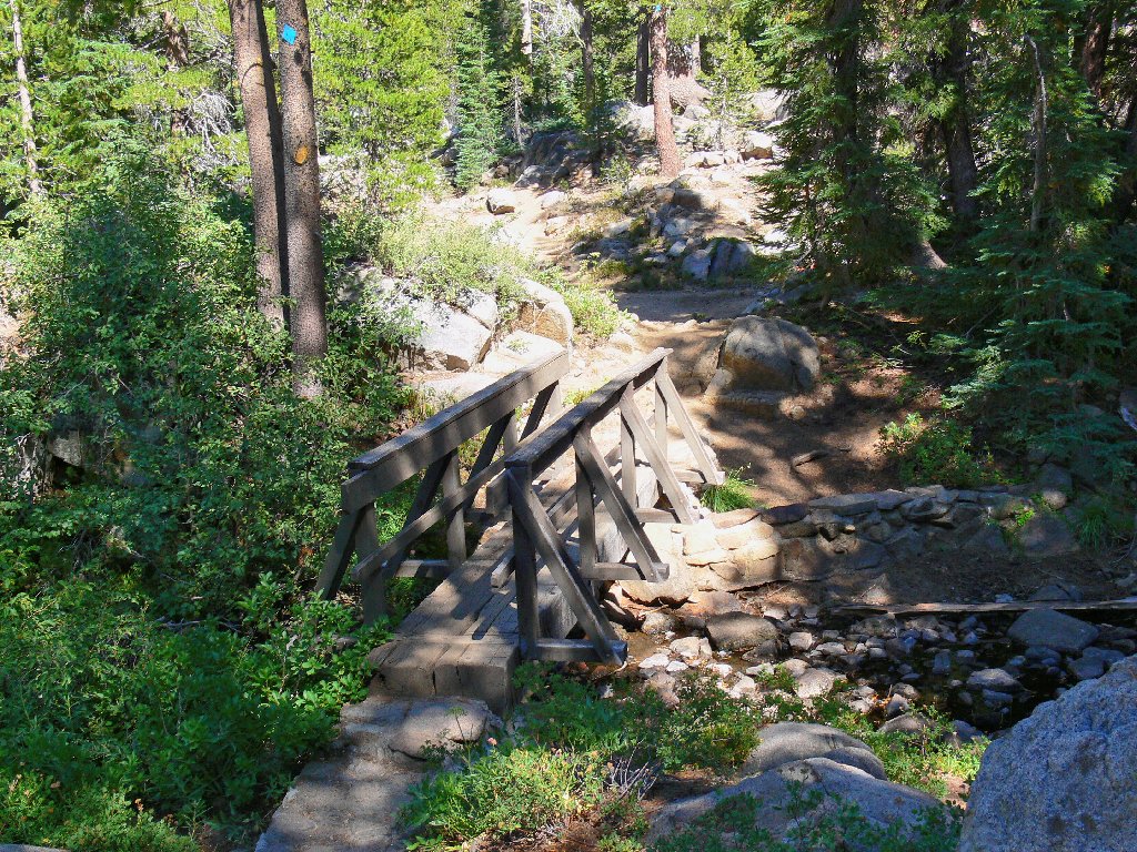
End of the trail
§: Any hike in the Carson Pass area is worthwhile at any time of
year, if only for the scenery or exercise. One has to be alive even after
the streams and flowers have dried up. Nevertheless, throughout the walk
I was somewhat saddened by the conditions, being aware of how utterly spectacular
and rewarding this place can be in peak season. Oh, well —
I wanted to see what it was like here in late August, so now I know.
Henceforth I will tend to visit only between late June and early August,
when Ted's Garden lives up to its name.
| Scenery |  |
| Difficulty |  |
| Personality |  |
| Flowers | |
| Solitude |  |
