
Yosemite National Park
|
Gaylor Lakes Loop Yosemite National Park |
August 16, 2008
It is a perfect 55° on a perfect day as I reach the trailhead at
8:30 a.m., full of exuberance and oatmeal. There is no
evidence of the recent big human-caused forest fire that adversely
affected the park's air quality for some time. After debating
whether to carry additional clothing, I eventually opt for just a light
long-sleeved shirt.
The first half-mile is a steep but shady climb up the ridge on a trail featuring dozens of stone steps.
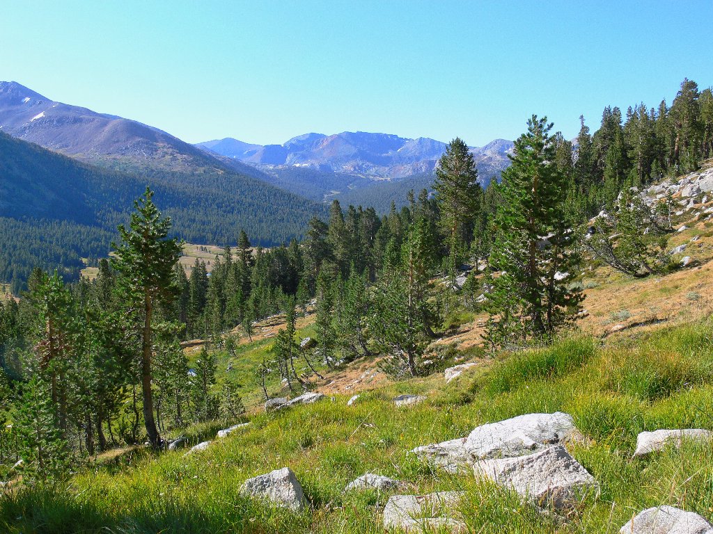
Getting started up the ridge
A 600-foot ascent achieves a saddle, where I encounter the only human I would see for the next three hours. As that hiker is returning to the trailhead and this area currently is closed to camping, I wonder where and how early he got going?
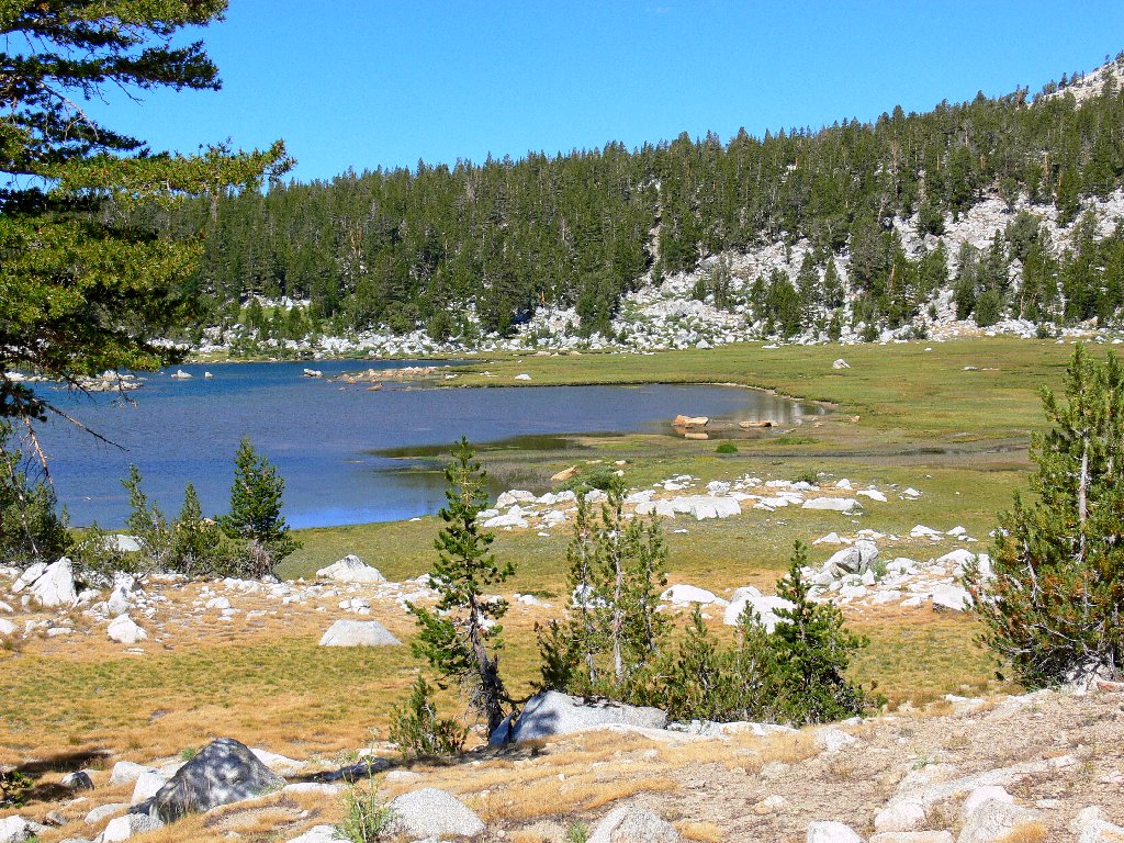
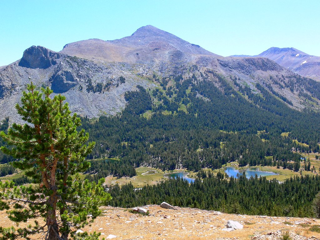
At the top, Middle Gaylor Lake comes into view in front of the beautiful Cathedral Range.
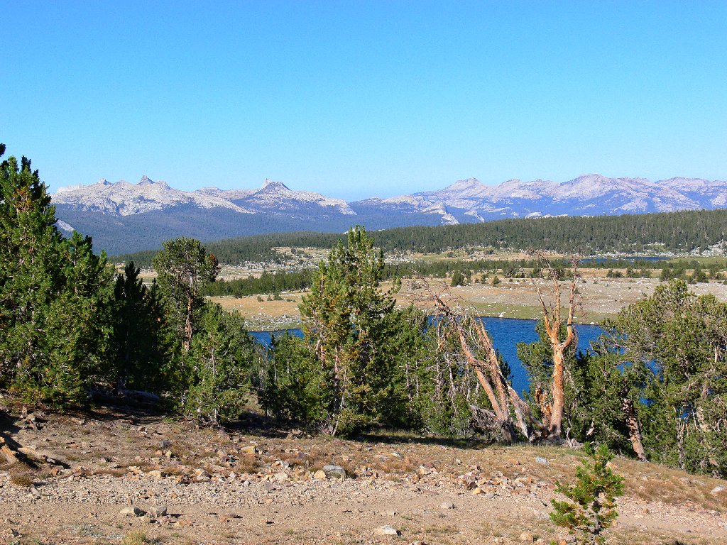
Middle Gaylor Lake
It is but a modest downhill to the lake shore, where I quickly capitalize
upon a rare opportunity to capture one of my all-time favorite
photographs, and of my favorite mountain to boot. I doubt that you will
find this particular view posted elsewhere:
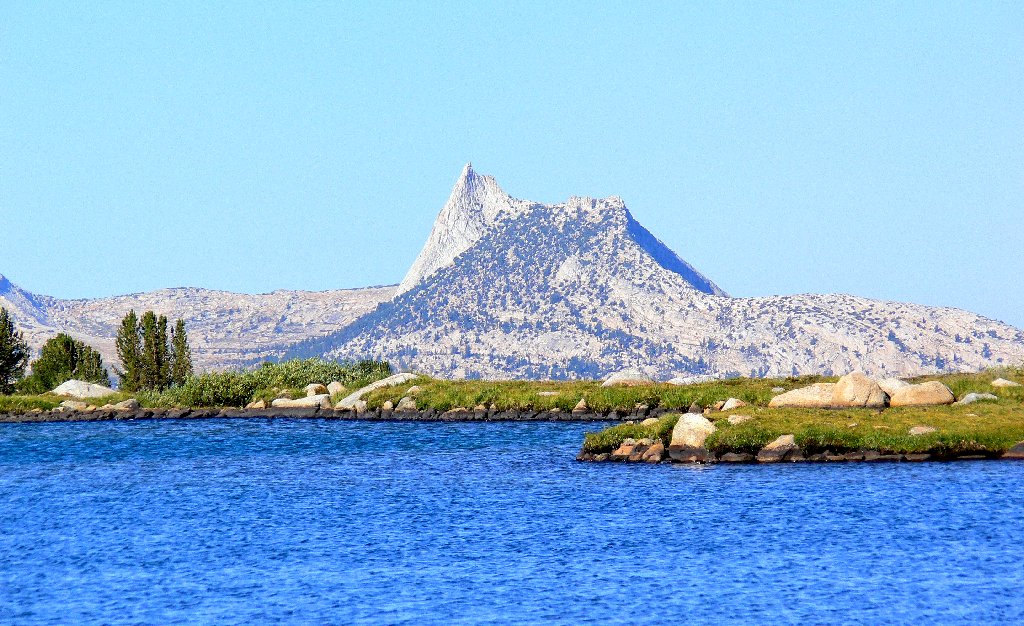
Spectacular Cathedral Peak actually is nine miles away
Even as I shoot the picture, teeming throngs in Tuolumne Meadows are bustling about directly between this point and the mountain, albeit conveniently out of sight behind the lake.
Having inexplicably forgotten to pack a decent map, I must rely on memory.
Knowing that there is another lake at the base of pyramid-shaped
Peak 11091 to the northwest, I decide to head across the meadow straight
for it. Along the way I don my extra shirt and a headband when a light
breeze comes up. I also encounter what little running water is in this
valley today —a mere trickle.

Another lake lies at the base of the hill
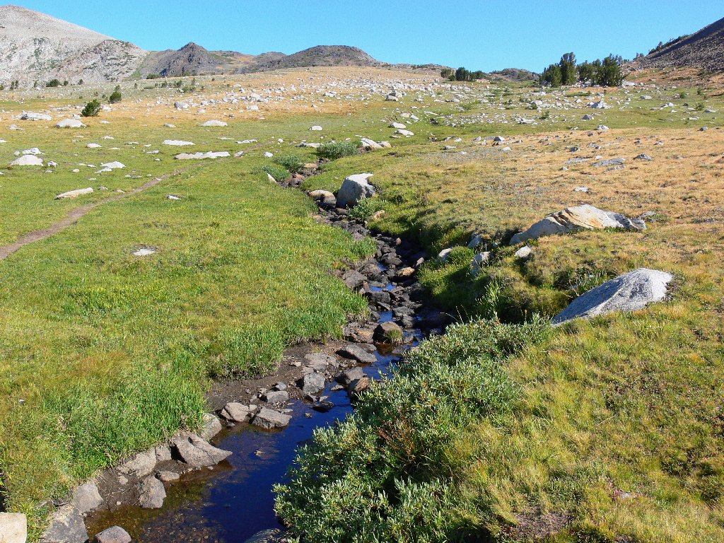
The creek is nearly dry
The predominant flower in the meadow is a ground-hugging variety of lupine; there are some other guys as well. I had not seen any Lemmon's paintbrush since last summer's excursion up the Mono Pass Trail just two miles from here.
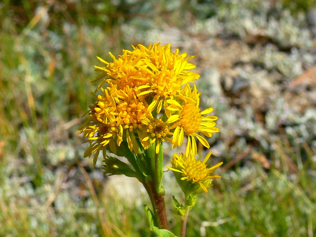
Northern Goldenrod — a butterfly favorite

Brewer's Lupine

Uniquely hued Lemmon's Paintbrush
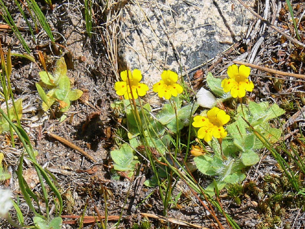
Primrose Monkeyflowers
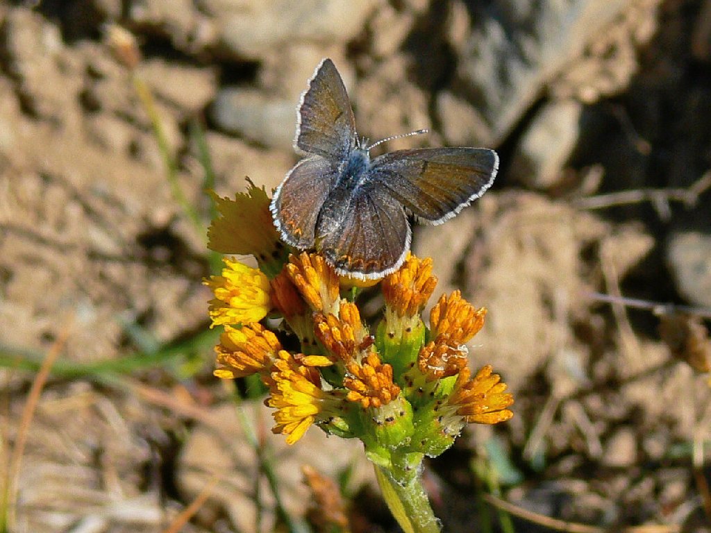
At my feet is a little butterfly with what seemingly are green jewels implanted in its wings. Yet on its top, this guy is a dark brown. Go figure.

A Shasta Blue
Quite a transformation
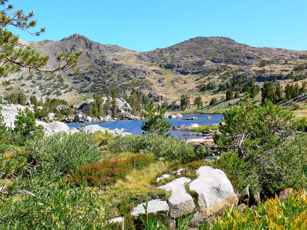
A leisurely stroll soon gets me to Lower Granite Lake, a gem that is nearly a mile long.
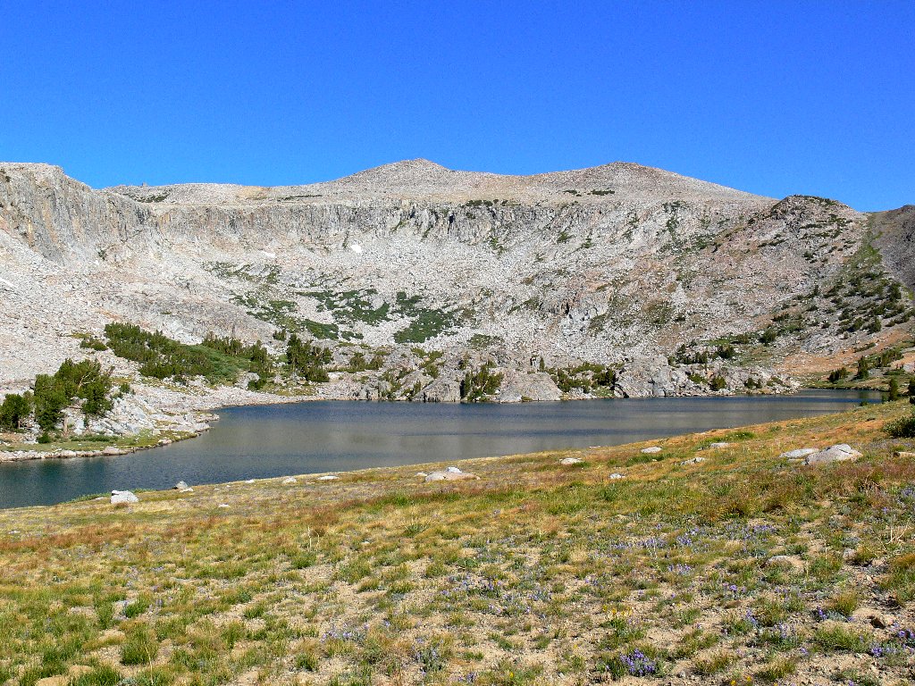
Lower Granite Lake

Delightful walking
This verdant eastern shore is a good-feeling place, featuring a couple of
wonderfully colored new flower specimens. At the lake's outlet a single
remaining patch of brownish-red heather enhances the scene.
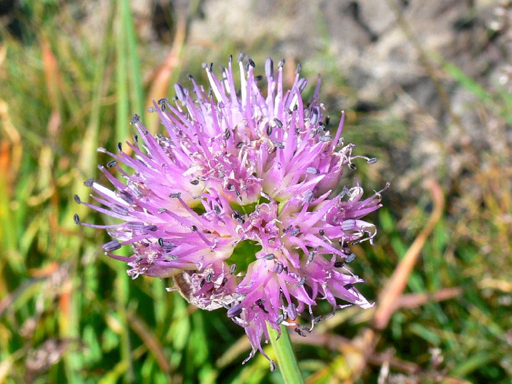
Pacific Mountain Onion

Sierra Fringed Gentians resemble blown-glass vases
Lower Granite Lake, looking northeast
The breeze is gone, and so is my extra clothing. Continuing the loop, it is another mile southwest to Lower Gaylor Lake. I stop to chat with a Clark's nutcracker, then enjoy wending my way among the willow bushes, which seem never to be too closely bunched to prevent easy passage.
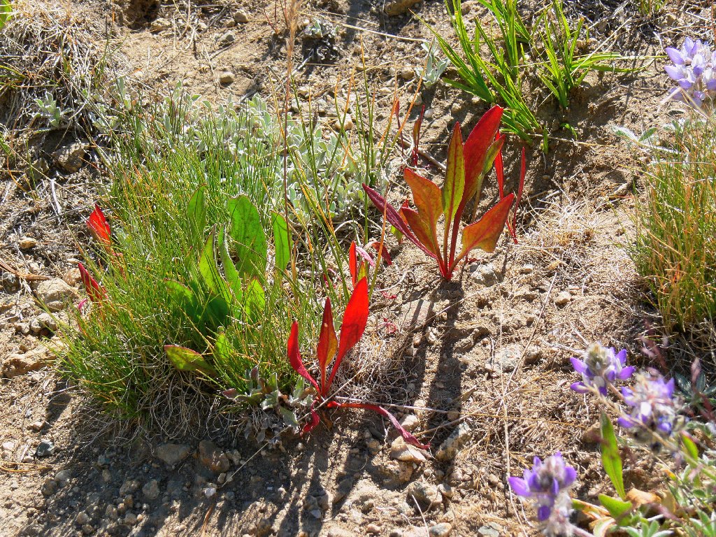
Red Sorrel

Booth's Willow
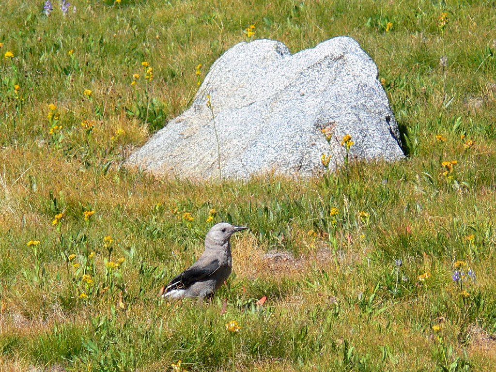
Clark's Nutcracker
The lake environs themselves are pleasant but unremarkable, with a few fish darting about in the small inlet channel.
Lower Gaylor Lake
It remains only to head northeastward, back toward Middle Gaylor.
A half-hour of dry, gentle uphill is unexciting except for a couple
of photogenic butterflies.
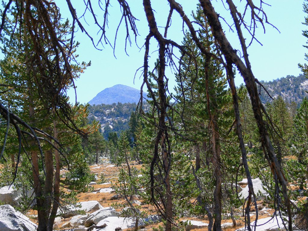
Mount Dana is a handy landmark
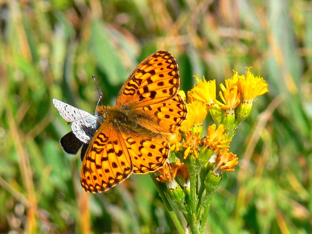
Hanging out together
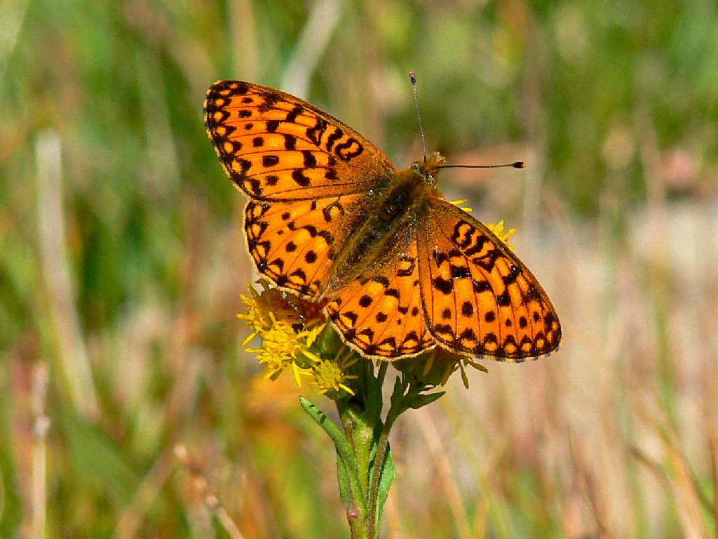
Great lighting enhances this Zerene Fritillary
As I approach Middle Gaylor, the view to the north reveals the remains of an old mine atop the steep trail. I could have ventured up there, I suppose, if only to look down the other side.
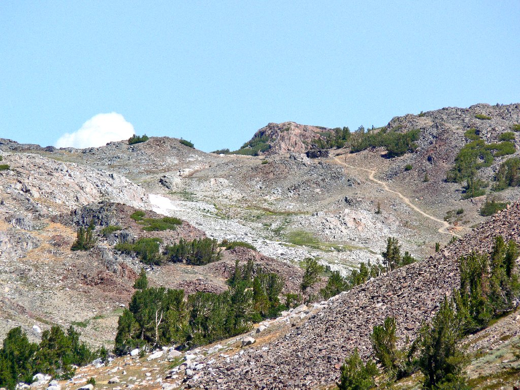
The Great Sierra Mine site to the north
From the south end of the lake, a shortcut up the hillside toward the saddle
cuts a quarter-mile off the route. The views are quite fine up here.

Dana Meadows and the Kuna Crest
Mount Dana, second-highest in the park at 13061'

Lee Vining hosts the Tioga Pass Road

Interesting colors
It is just noon by now, and the temperature has risen 20 degrees. The
descent to the trailhead is much warmer this time, and it seems correspondingly
dustier as well. I meet dozens of hikers just beginning their outings.
Weather-wise, my timing was much better.
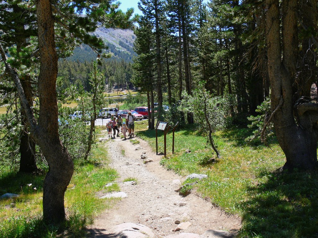
End of the line
The long drive home through the park merits a little credit as well:
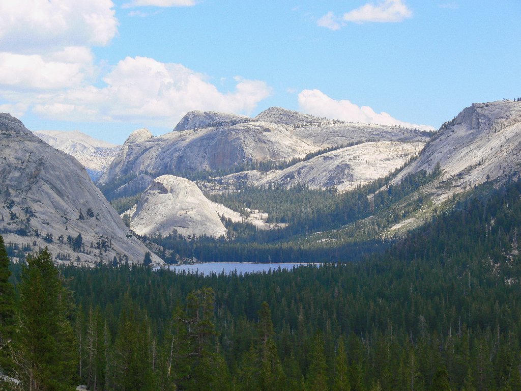
Tenaya Lake from the highway
§: In retrospect, I really blew it by forgetting to pack the nice
map that I had prepared at home. So much for memory. Between Middle
Gaylor and the old mine was Upper Gaylor Lake, which I never saw. Also,
Upper Granite Lake lies at the base of the cirque just behind Lower Granite.
Having not realized that it was there, I might well have missed the most scenic
feature in the area; and doubtless there were good views from the Great Sierra
Mine area as well. Despite these oversights, I shot some memorable
photographs on this trek.
At 10,000 feet elevation, the season here is so short. Even though it is quite beautiful here today, this surely was a more spectacular place a month ago. The best time to visit is when some snow remains at the higher levels.
| Scenery |  |
| Difficulty |  |
| Personality | |
| Adventure | |
| Solitude | |
