
Mokelumne Wilderness
|
Elephants Back Mokelumne Wilderness |
July 8, 2008
It is projected to be 107° in the valley today — the highest temperature
of the year to date. This seems like a great time to be elsewhere, despite
the terrible air quality resulting from 300+ active California wildfires.
Besides, I am most anxious to visit my favorite 'local' hiking area for the first
time this season.
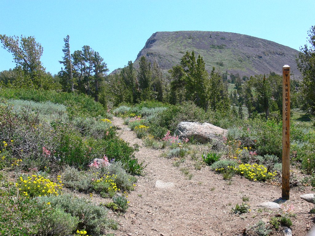
Having gotten a very late start, I reach the trailhead at 1 p.m.,
where three parking spaces inexplicably are available. The parking fee went up
from $3 to $5 this year, but my Golden Age Pass obviates the expense.
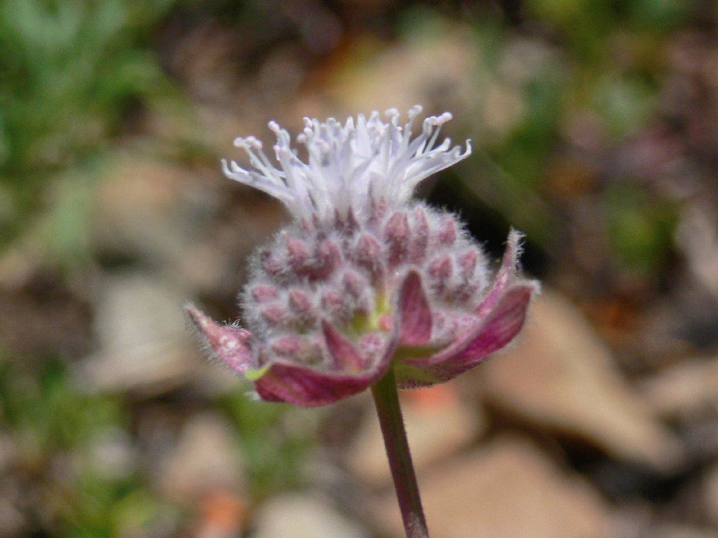
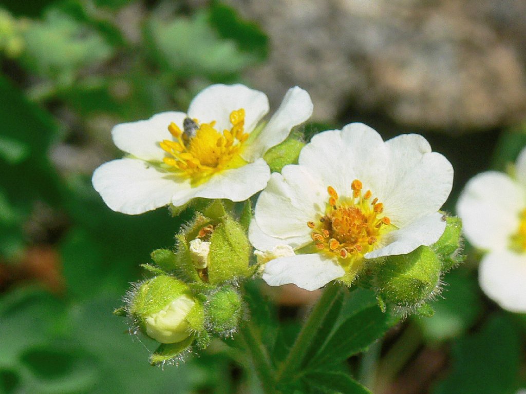
The first mile of trail is shady, but otherwise unremarkable. Plenty of flowers already are in evidence, however.
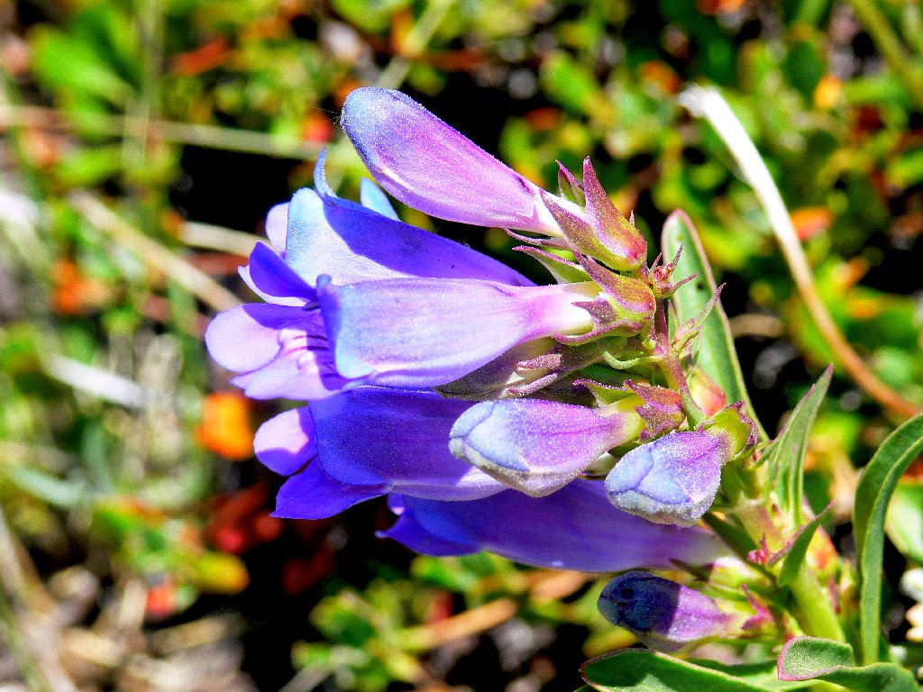
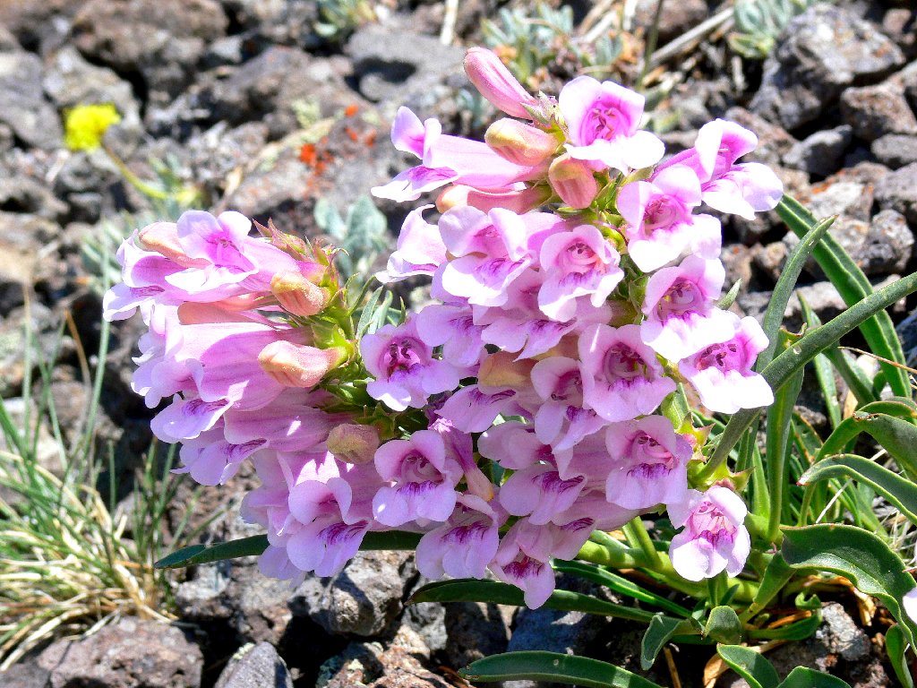
Showy Penstemon
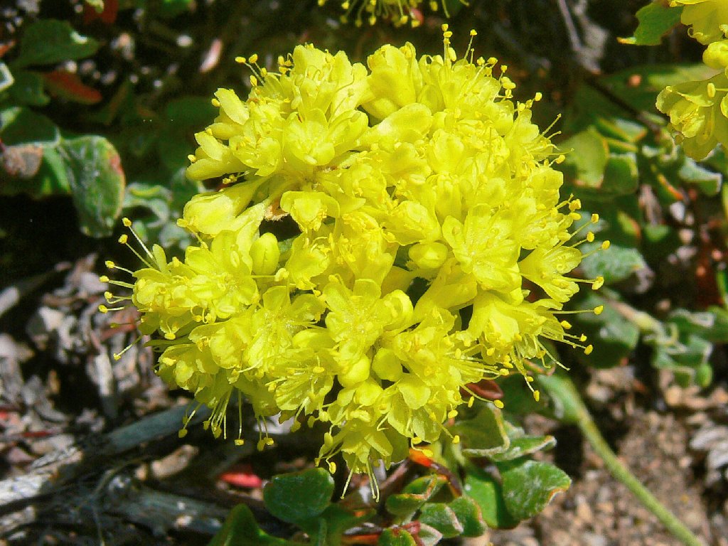
Sulfur-flower Buckwheat
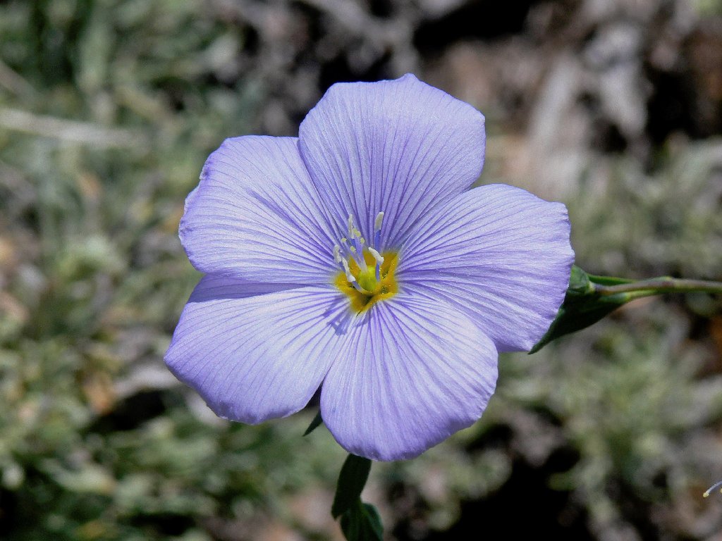
Western Blue Flax
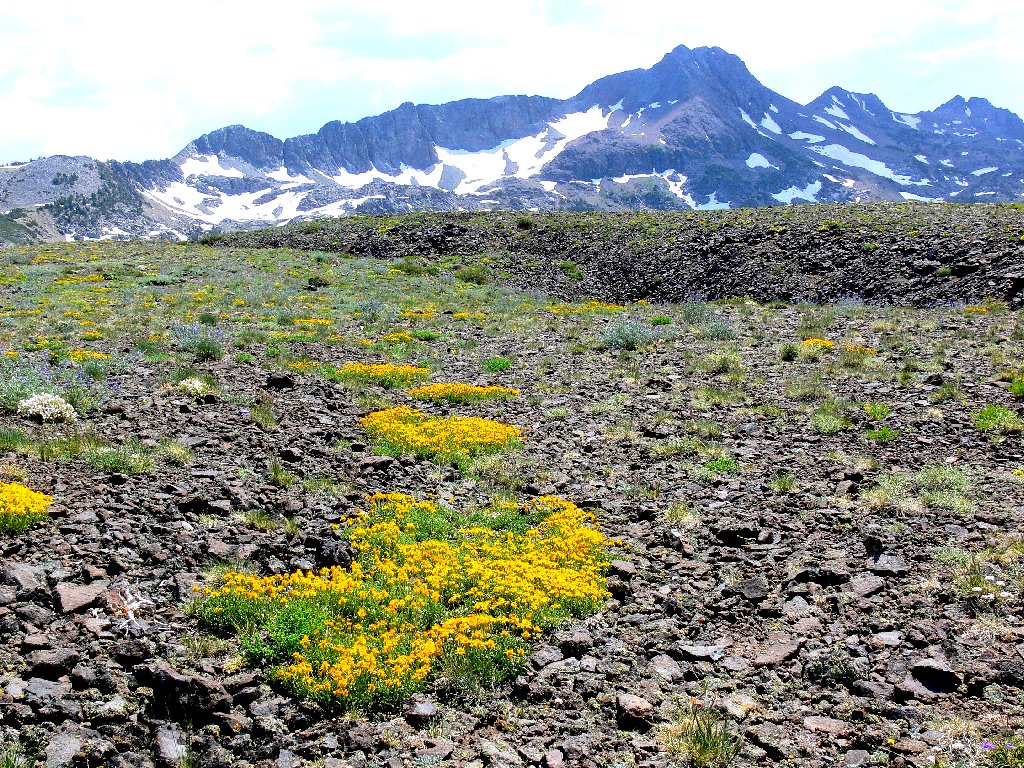
Beyond the Frog Lake spur, it is a short distance south to the junction with the Pacific Crest Trail. There are flowers everywhere here, including gorgeous pink skyrockets in unprecedented numbers.
Elephants Back, 9585'
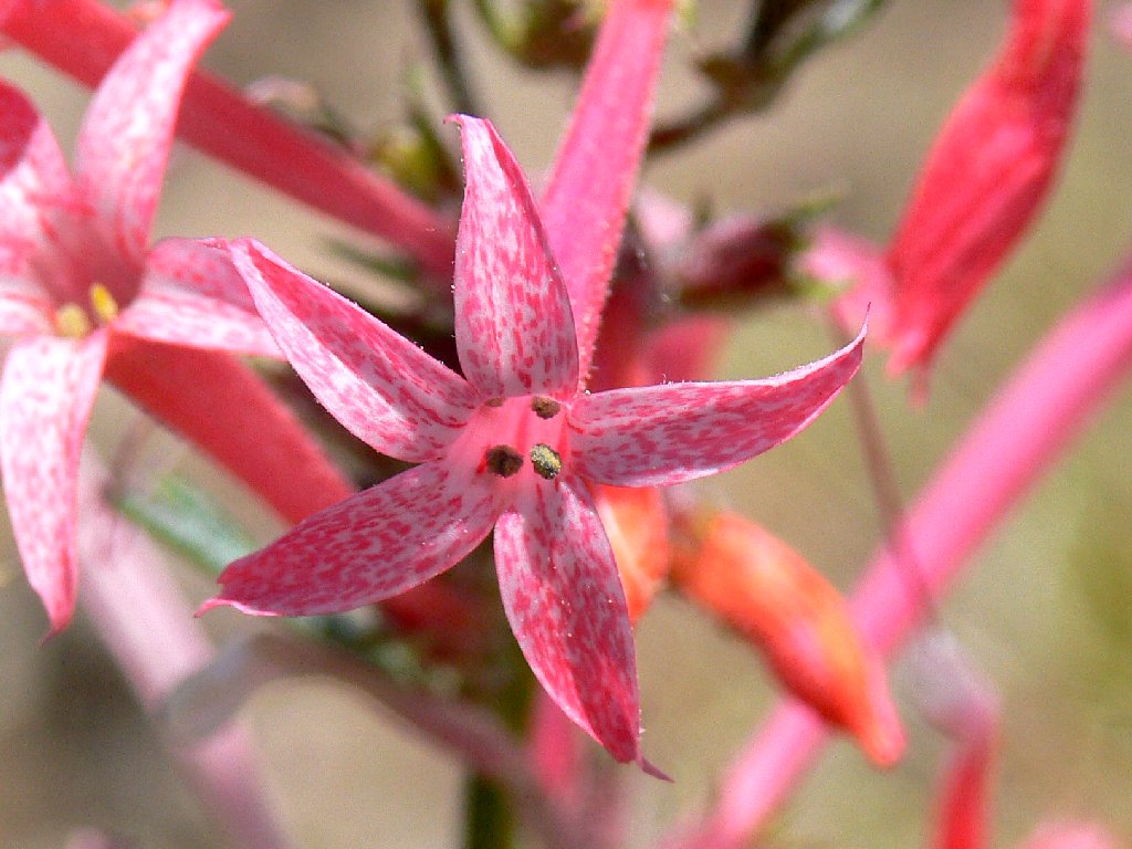
Slendertube Skyrocket
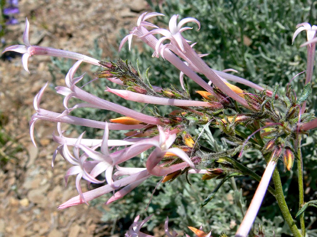
These relatives seem to have lost their pink
I head up the PCT toward Elephants Back, determined to attempt a frontal
assault for the first time. Last year, a similar plan was thwarted by
gale-force winds; at that time I went up the backside anyway, but vowed
never to do it again under those conditions. Today's breeze is modest
and shouldn't pose a problem. Not surprisingly, my walk soon is
sidetracked by ever more flower types.
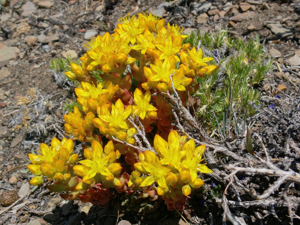
Broadleaf Stonecrop
Ballhead Gilia
Mountain Monardella
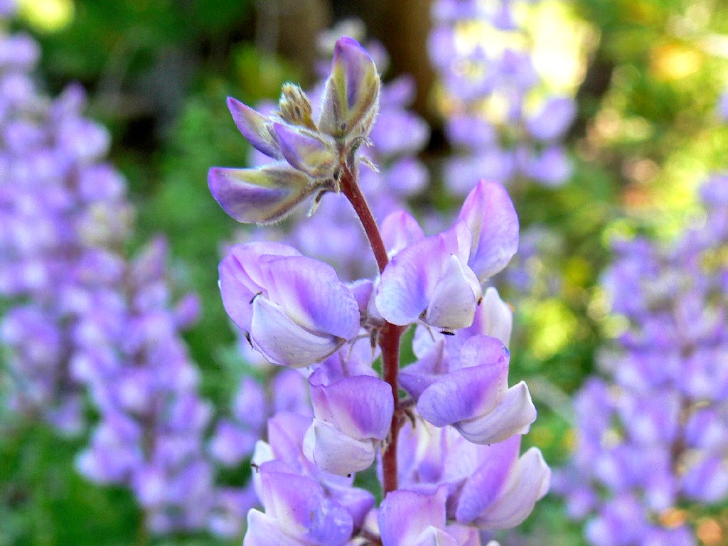
Silver Lupine
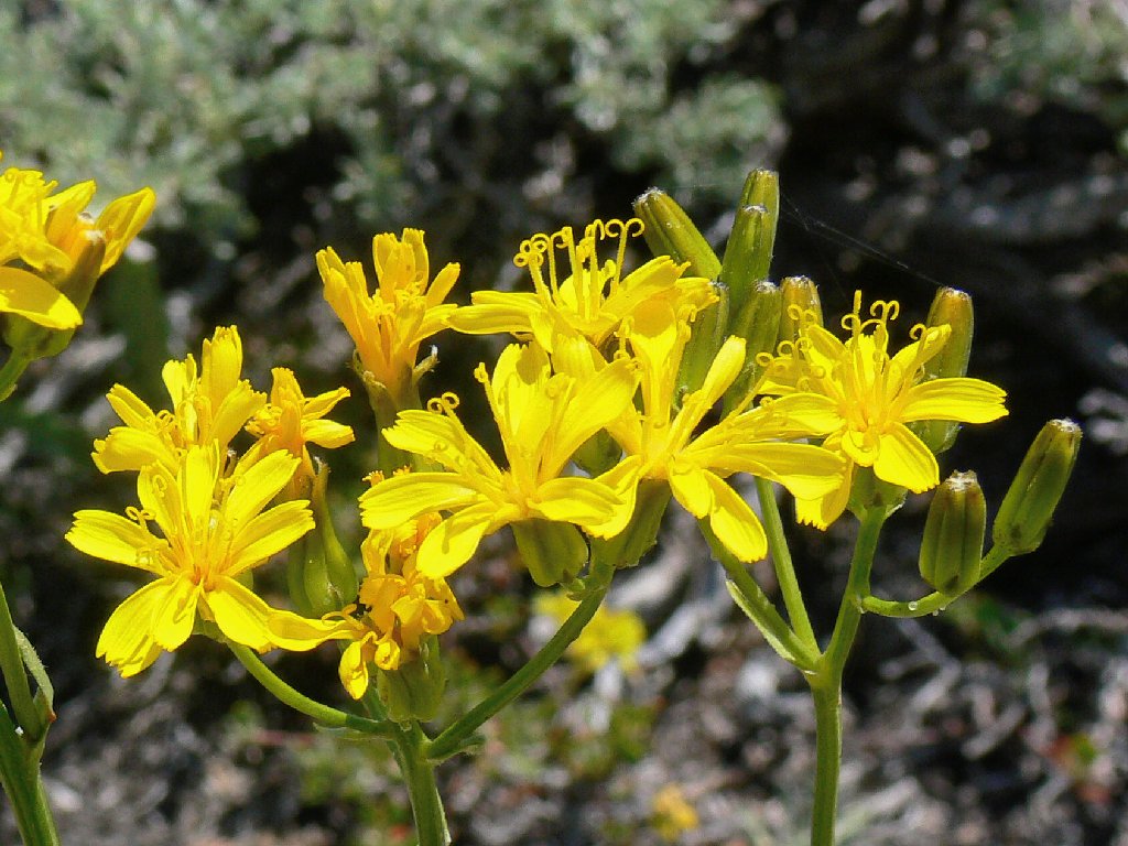
Hawksbeard
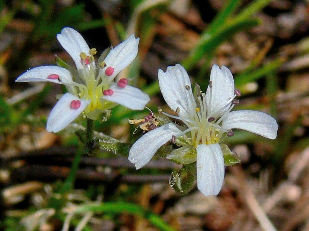
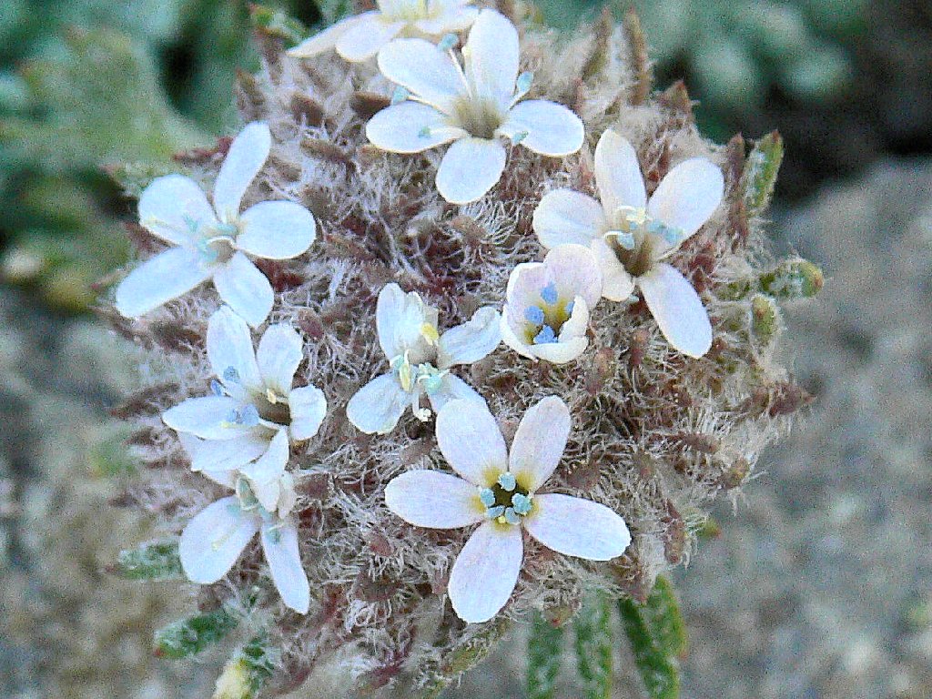
King's Smooth Sandwort
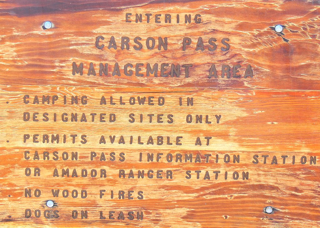
Those dandelions sure are cute. Ambling up the trail just far enough to look down the other side of the hill, I encounter this notice to northbound hikers:
It is time to commit to the ascent. The upcoming 600-foot
climb rates to be an adventure, as the going will be steep and rough with no trail.
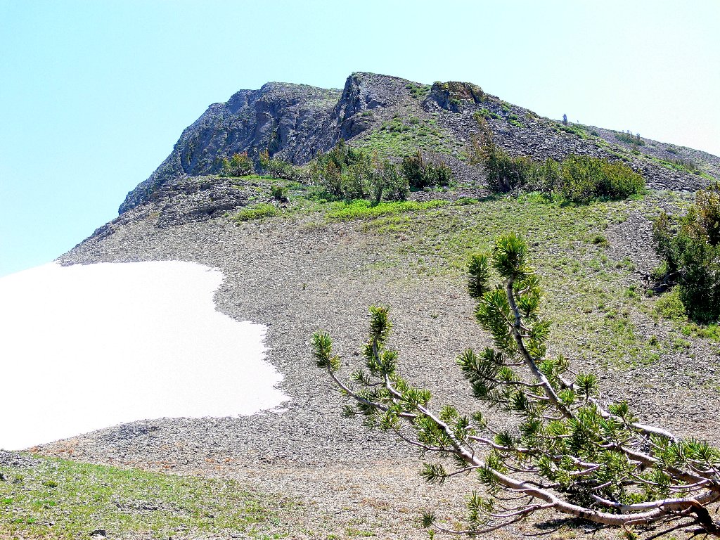
The mountain is waiting
This route proves taxing indeed, at least for this semi-aged soul. Numerous breath-catching stops are in order. Also, the scree is so loose that I am compelled to walk on plants or sporadic bigger rocks as much as possible. In one area no such aids are available, necessitating a slow, slippery scramble to a more solid surface.
The effort has its rewards, however. Before climbing far, I have the pleasure of logging three new flower types in as many minutes.
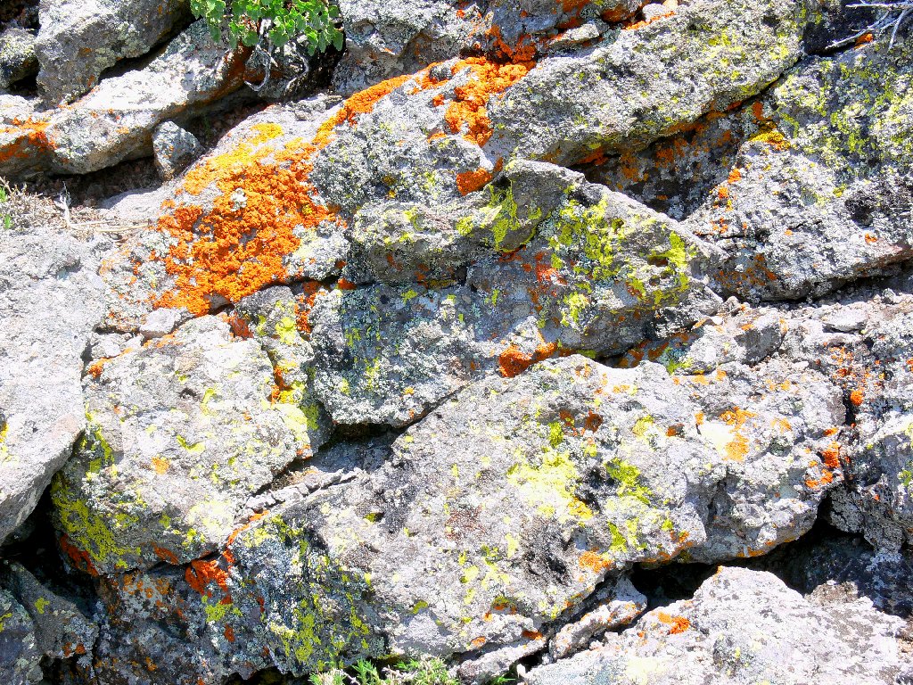
Lichen on the talus
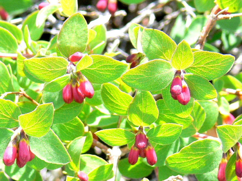
Mountain Snowberry
California Polemonium
Royal Penstemon
What serendipitous finds on this slope, including a shade of penstemon not previously encountered! I would see no more of these species today.
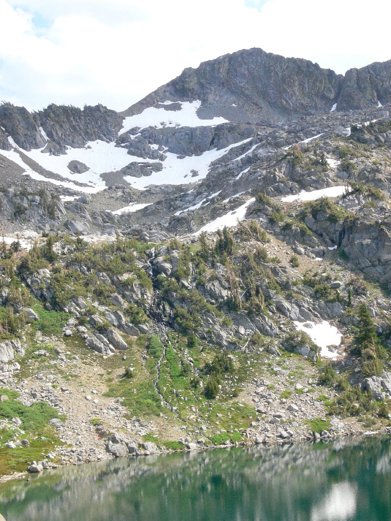
About halfway up the mountain is a flat spot beside the cliff where the PCT is in view below. At the brink of the dropoff are a couple of tall thistles, seemingly in command of the area.
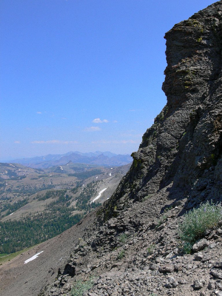
Beside the north face
The Pacific Crest Trail zigzags down the slope
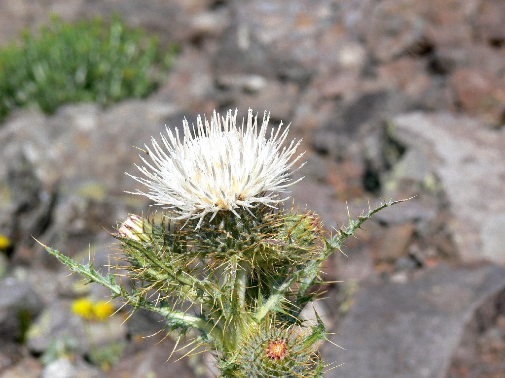
Graygreen Thistle
A few more rest stops enable me to reach the top. Two youngsters from the Tahoe area are here already, sporting fishing poles in their packs. Go figure. One of them invites me to look at his rocks, which I do.
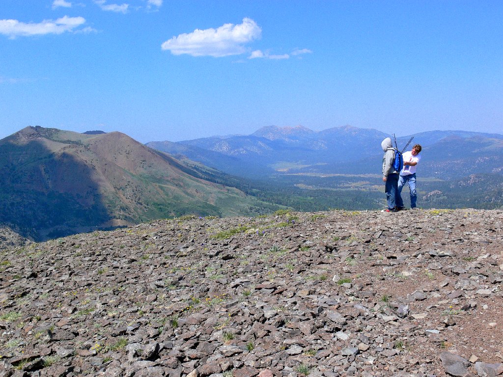
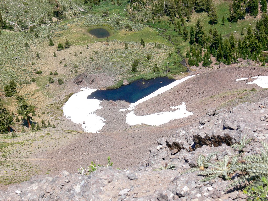
Looking north from the summit
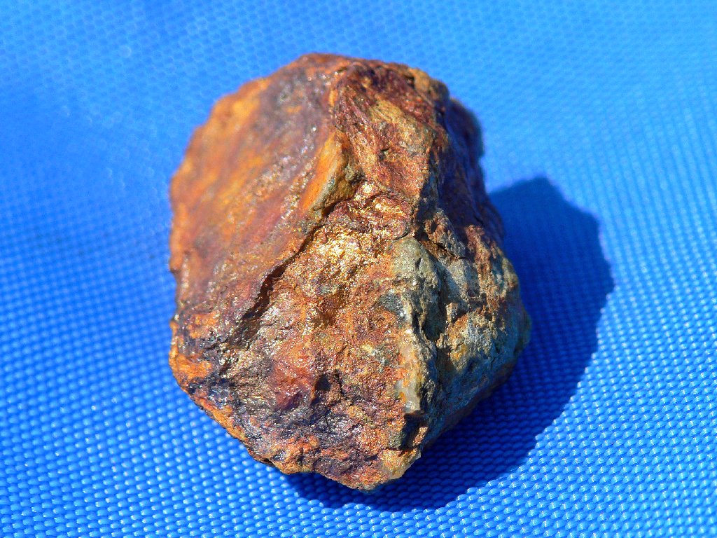
Does this contain some gold?
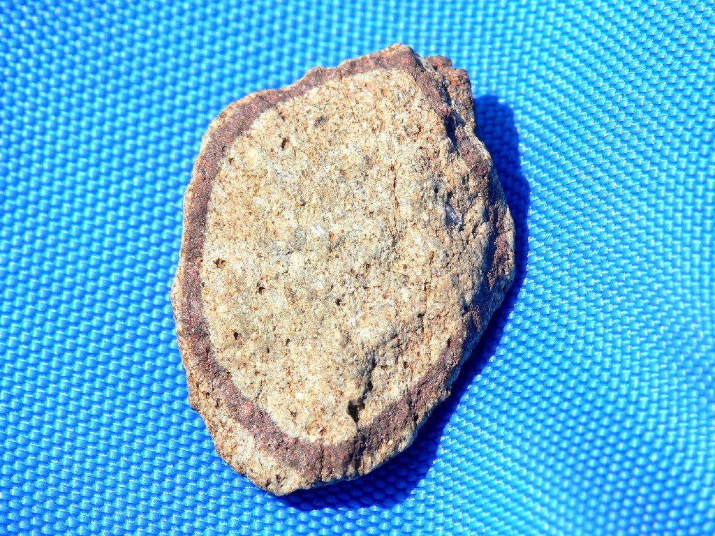
A fascinating marking
Judging from their demeanor, I think these guys are stoned. I cannot be sure, however, and they didn't offer me any weed. I remark to the 'geology buff' that this hilltop demarcates the Great Basin itself. Water from Frog Lake and everything east of here flows to the Carson River and the Nevada desert, whereas the other lakes outlet westward toward the Pacific Ocean. In any case, the man either was not particularly interested or not particularly coherent.
The summit marker and cache box are missing; that's odd, because I saw them last year. There is a nice eastward view ranging as far as the Pinenut Range in Nevada. Even this arid volcanic rock pile supports a lot of flora. It is most enjoyable being up here right now.

The haze isn't so obvious if one looks eastward
Groundsel and Prickly Phlox garnish the summit area
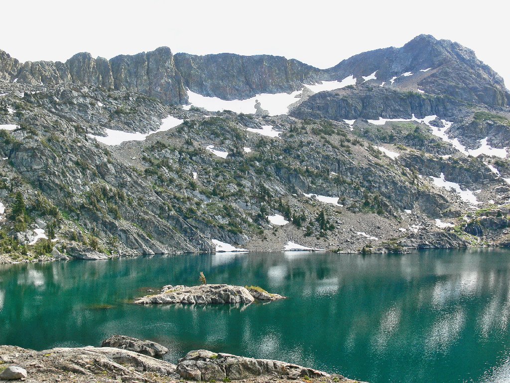
There is a convenient place to cross the twenty-foot gash in the mountain top, after which is is a short distance southward to a first view of spectacular Winnemucca Lake in the shadow of Round Top, the area's highest peak. It is much less steep at this end of the hill, making it easy to amble down to gentler slopes.
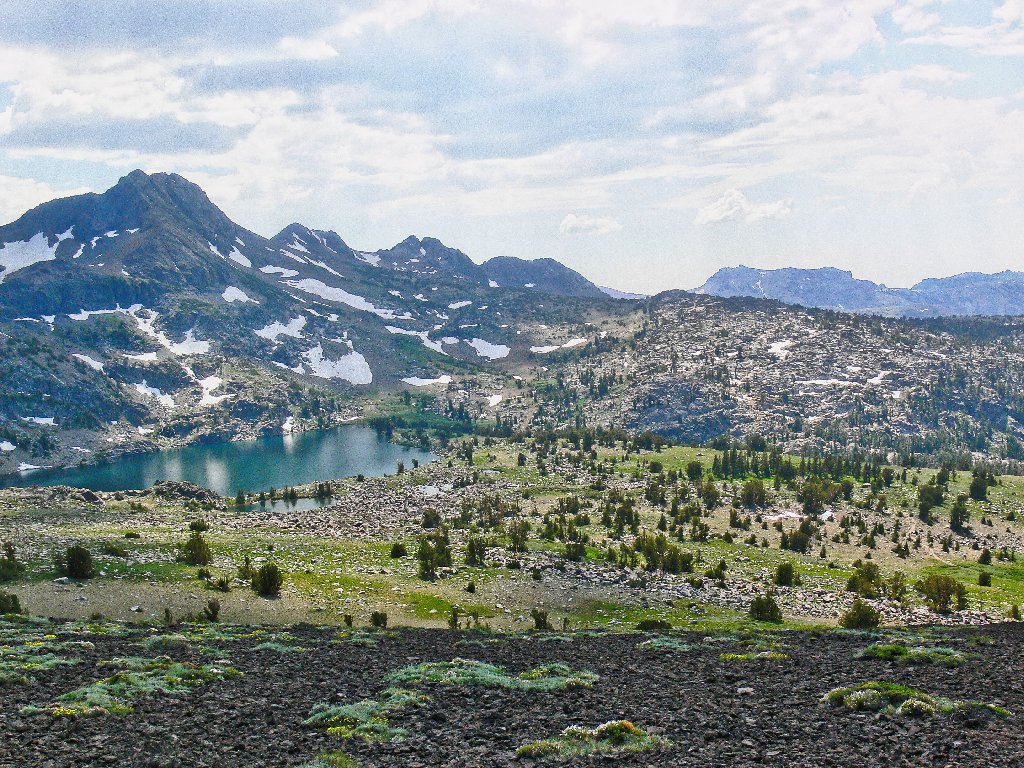
Winnemucca Lake and Round Top, 10381'
There are three small ponds just this side of the lake; many hikers never
see them or even know that they exist, because those tarns are not visible from
the main trail. In order to get from here to there, it is necessary to
negotiate an area that I call The Jumbles. Actually, it is more of an
obstacle course — an expansive stretch of jumbled granite boulders.
Unlike a typical talus slope, however, The Jumbles have a special flavor; the gaps
among the rocks are filled with grasses and sage and flowers!
Despite the time-consuming nature of this crossing that requires some
delicate balancing and hands-on scrambling, I find it a lot of fun.
One cannot be in a hurry here; the challenge is to guess the easiest route.
Looking back at the back of The Back
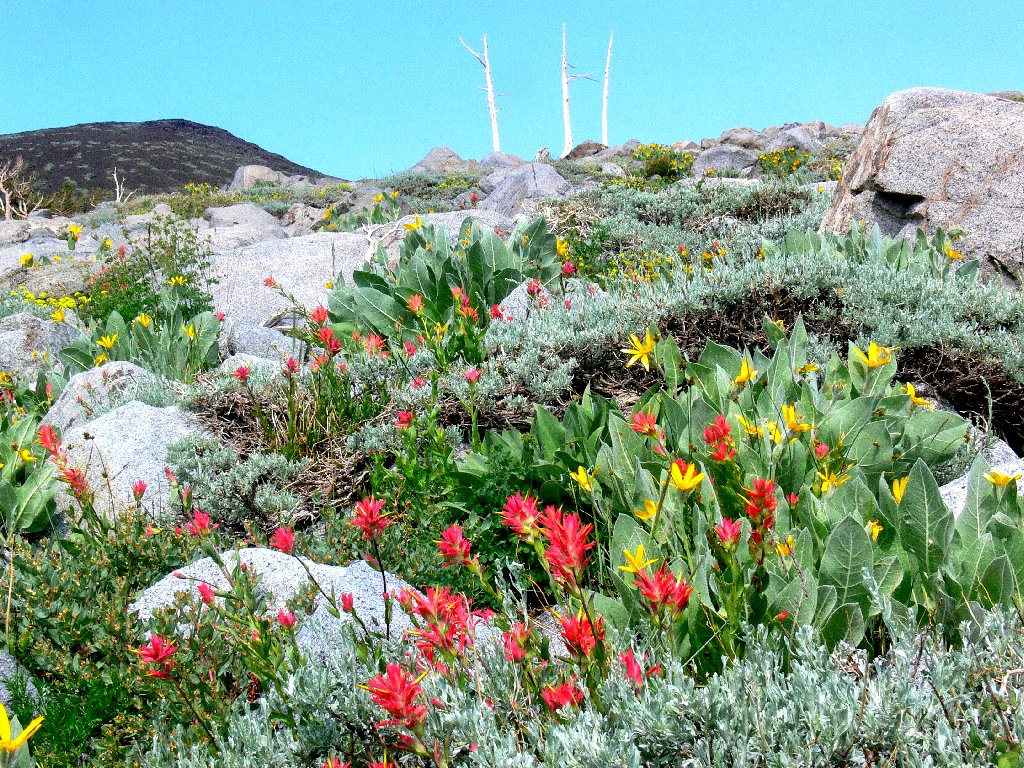
Paintbrush and Mule Ears decorate The Jumbles
Having frequently veered left toward smoother going, I find myself eventually overlooking the eastern end of Winnemucca Lake, bypassing the three ponds completely. Across the way is a cascade that I have not seen before; it is noisier than its size would suggest.
This little cascade makes its presence known
It's time to stop for a well-earned lunch. A glance at my handy-dandy
combination altimeter + barometer + compass + chronometer
+ thermometer + spirit-level indicates that it is 4 p.m.
already. Horrors! The time has passed much more quickly than I had
anticipated. I am expected in Sacramento for a seven o'clock bridge tournament,
yet there are 2½ miles of trail and 95 miles of highway between me and
the game site. This means that I won't be able to dawdle much for the remainder
of my trek, and I don't like that. Oh well, it serves me right for mismanaging
my schedule.
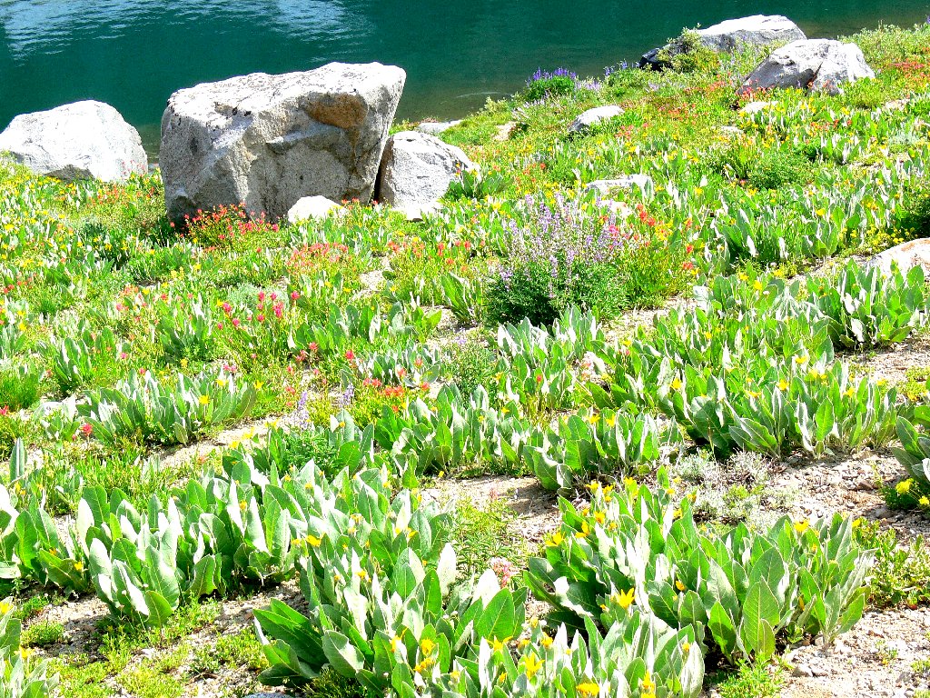
Winnemucca Lake
There is a usage trail along the northern shore of the big lake, with spurs
leading to the little ones. I will have to forgo my planned side trips
today, but I refuse to pass up a quarter-mile detour to the lake's
outlet in order to commune with my heathered friends.
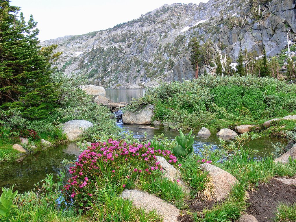
Gateway to Paradise
Non-stop greenery everywhere
Sticky Cinquefoil

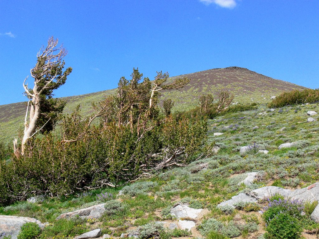
Whitebark Pine
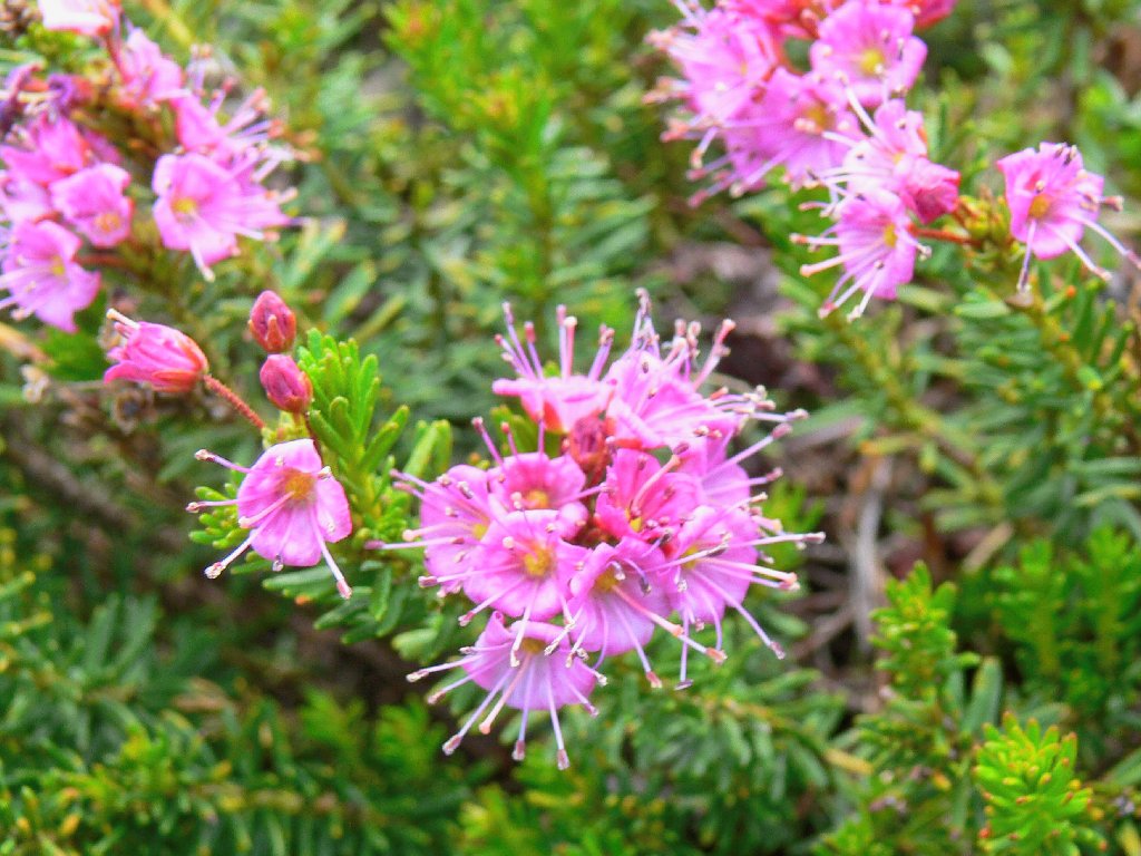
Red Mountain Heather
An irridescent butterfly awaits me just across the creek:
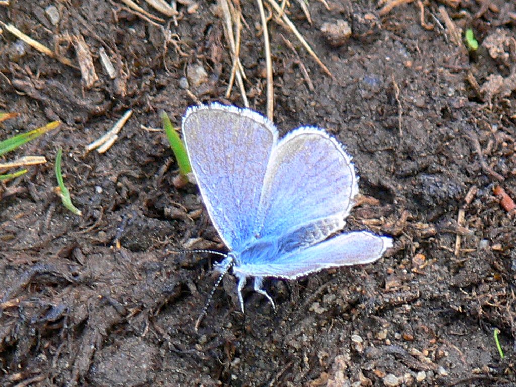
This one is called a Greenish Blue
This is one of the best-feeling spots north of Yosemite. Oddly enough,
I have the place completely to myself at the moment; nary another soul has been
seen for quite some time. Unfortunately, I cannot tarry. Fortunately,
it is an easy 2-mile jaunt back to the trailhead, through a lovely
spring-fed meadow at the perfect time of day. And of course, there
always is time for more photos; I do have my priorities.
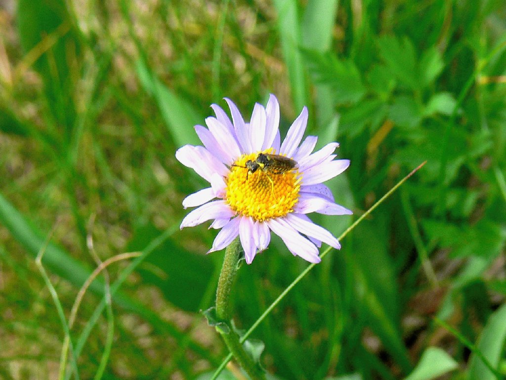
Alpine Aster
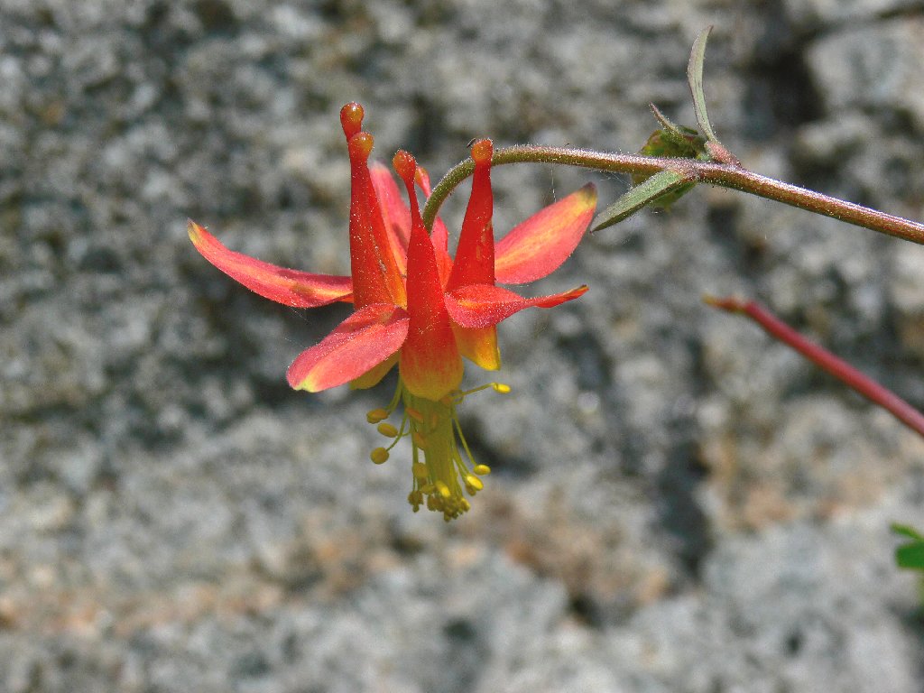
Crimson Columbine
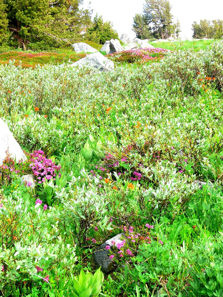
Ted's Garden
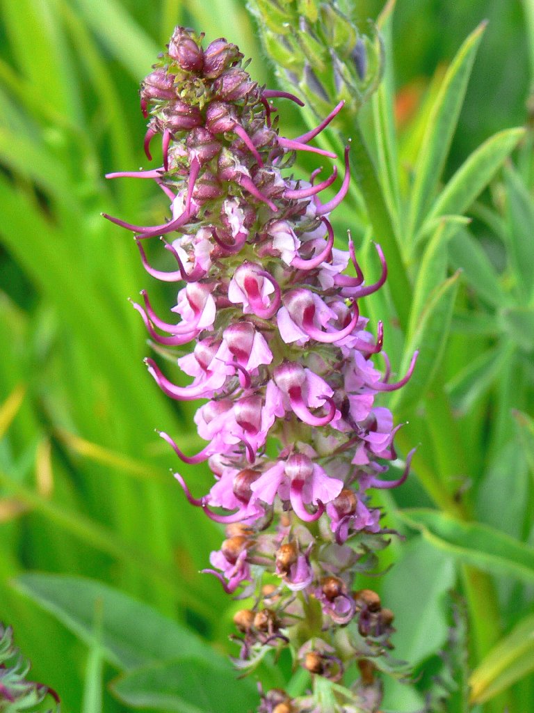
Elephant Heads

Sierra Stickseed
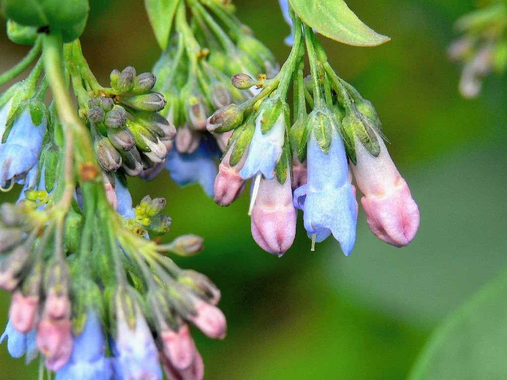
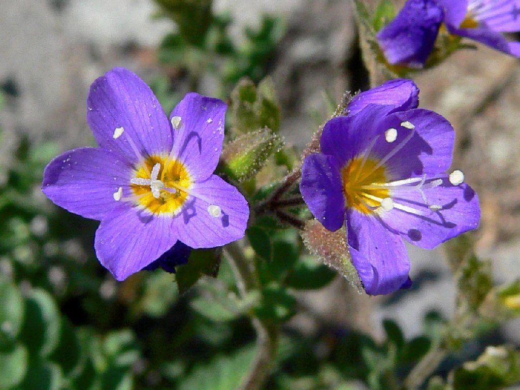
Sierra Bluebells
Now it's just a matter of putting away the remaining distance to the car.

Beside Elephants Back
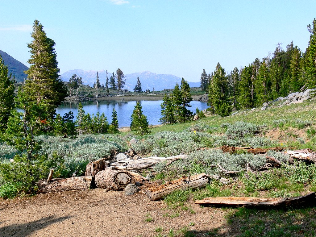
Frog Lake
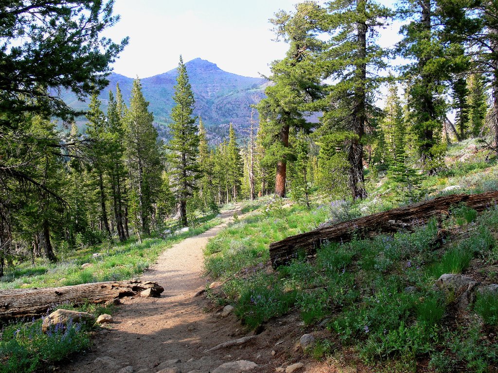
The final lap
§: One could not ask for more flowers than I saw today; the display
was incredible. That's why I refer to this area among friends as
Ted's Garden. I logged eleven new varieties,
and I'll be back soon to see how the usual suspects of August are doing.
For the record, I kept my appointment on time.
| Scenery |  |
| Difficulty |  |
| Personality | |
| Adventure |  |
| Flowers | |
| Solitude |  |
