
Eldorado NF
|
Thunder Mountain Eldorado NF |
July 05, 2007
As it has been a long six days since my last hike, I am off to the hills
despite a threat of record-high temperatures for this date.
To mitigate the effects of the heat, it seems reasonable to choose a
high-elevation route — specifically, one to a mountain top.
As a teenager I scrambled much of the way up the western slope of Thunder Mountain with brother Ken and cousin John, while camping at Silver Lake; today's route, constructed about ten years ago, should make the job a lot easier.
Just a few minutes up the trail, I am pleasantly surprised by a lone snow
plant — my favorite flower. Its kind rarely survives this
late into the season. This species is unique in that it is totally
lacking in chlorophyll; instead, nourishment is obtained from decayed plant
matter in the ground.
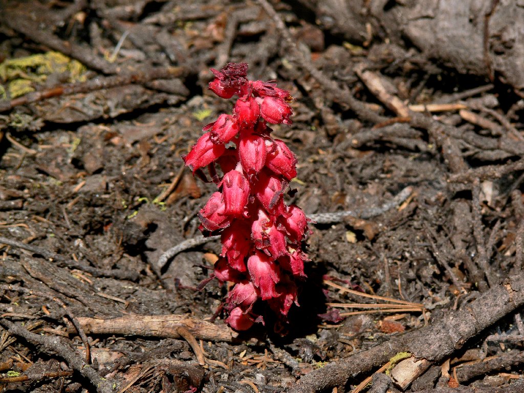
Snow Plant
Presently a long snow fence appears on my left, perched atop the cliff overlooking the highway. Shortly afterwards, Martin Point comes into view, concealing my destination.

Snow fence
The only shady spot on the trail
Martin Point, 9249'
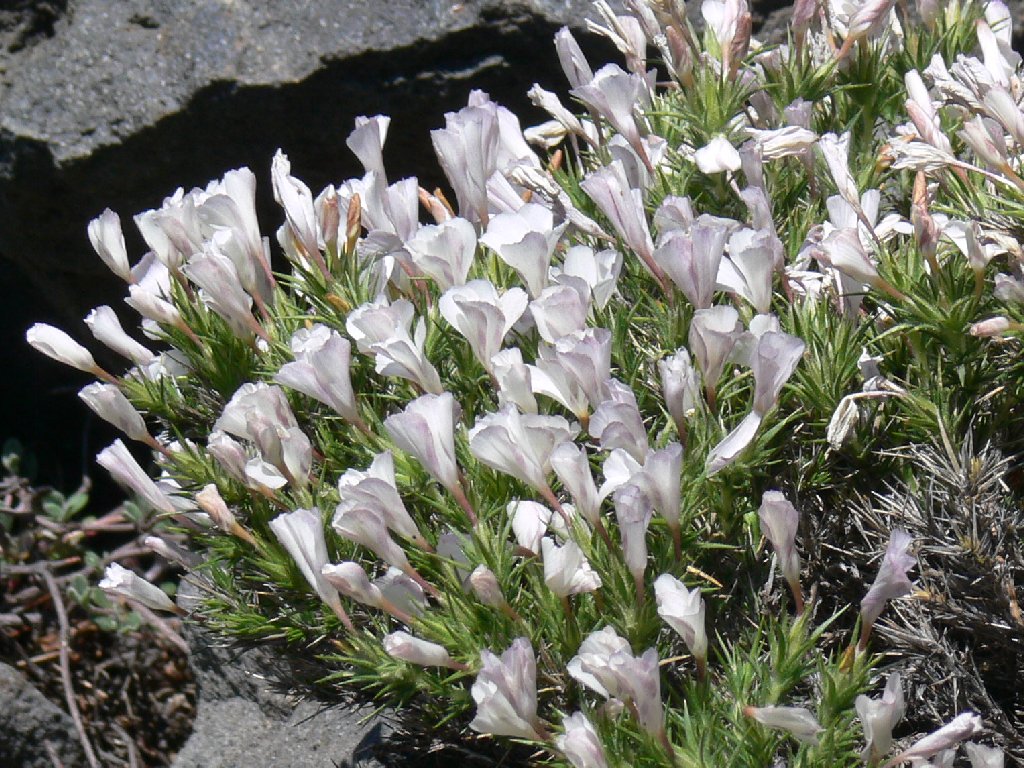
There is no lack of flowers braving the early-summer heat. Several varieties catch my eye.
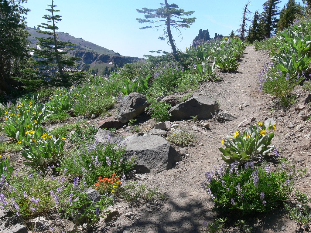
The usual suspects — Paintbrush, Lupine, Mule Ears

Cushion Buckwheat
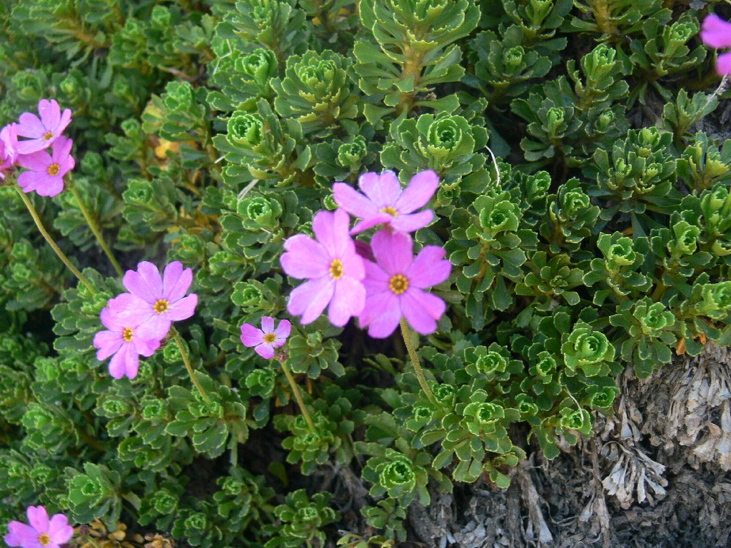
Sierra Primrose
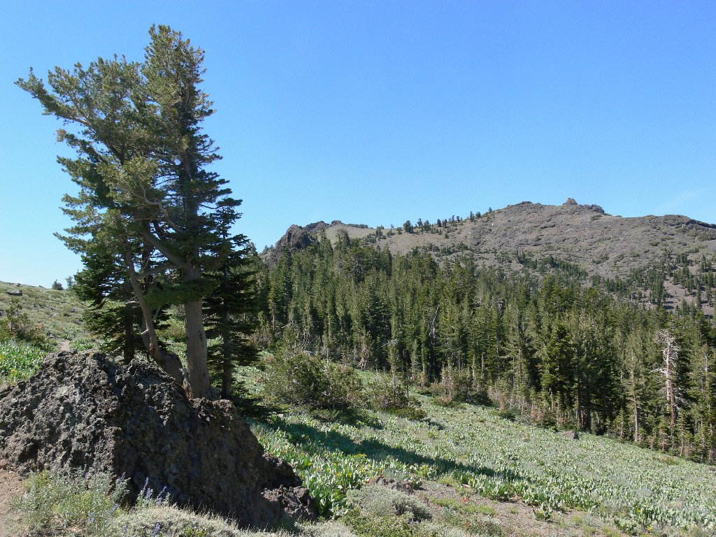
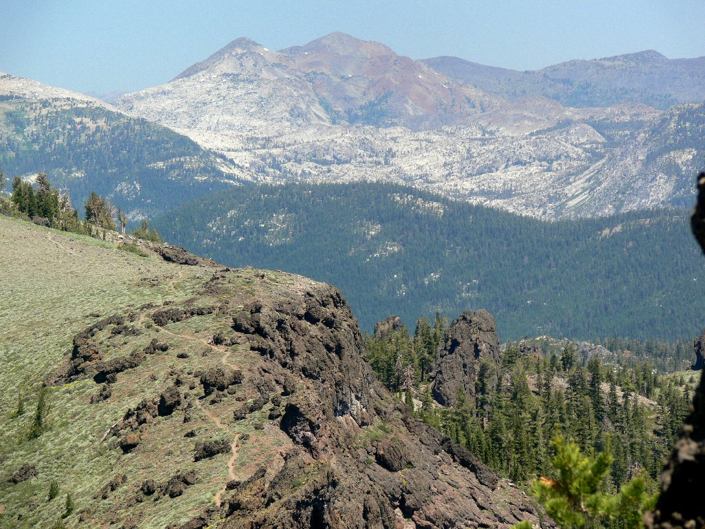
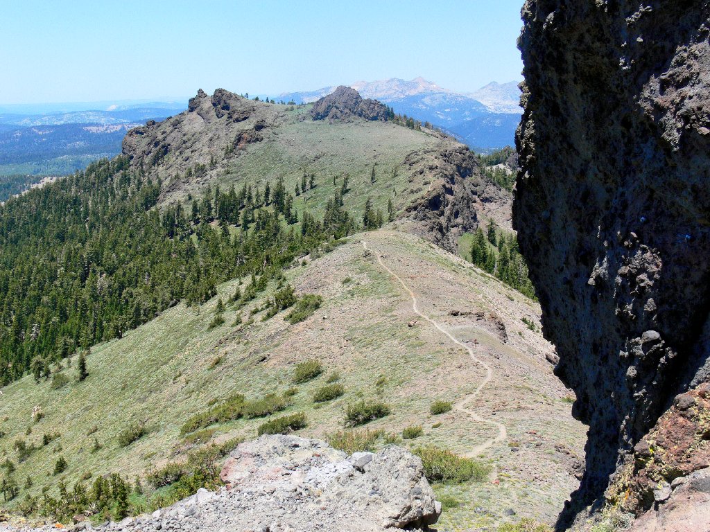
After about two miles the peaks area appears; the actual summit remains
out of sight to the right. From here, the trail hugs the top of the
ridge. Kirkwood Ski Resort sprawls 1,500 feet below, while
Round Top dominates the eastern skyline.
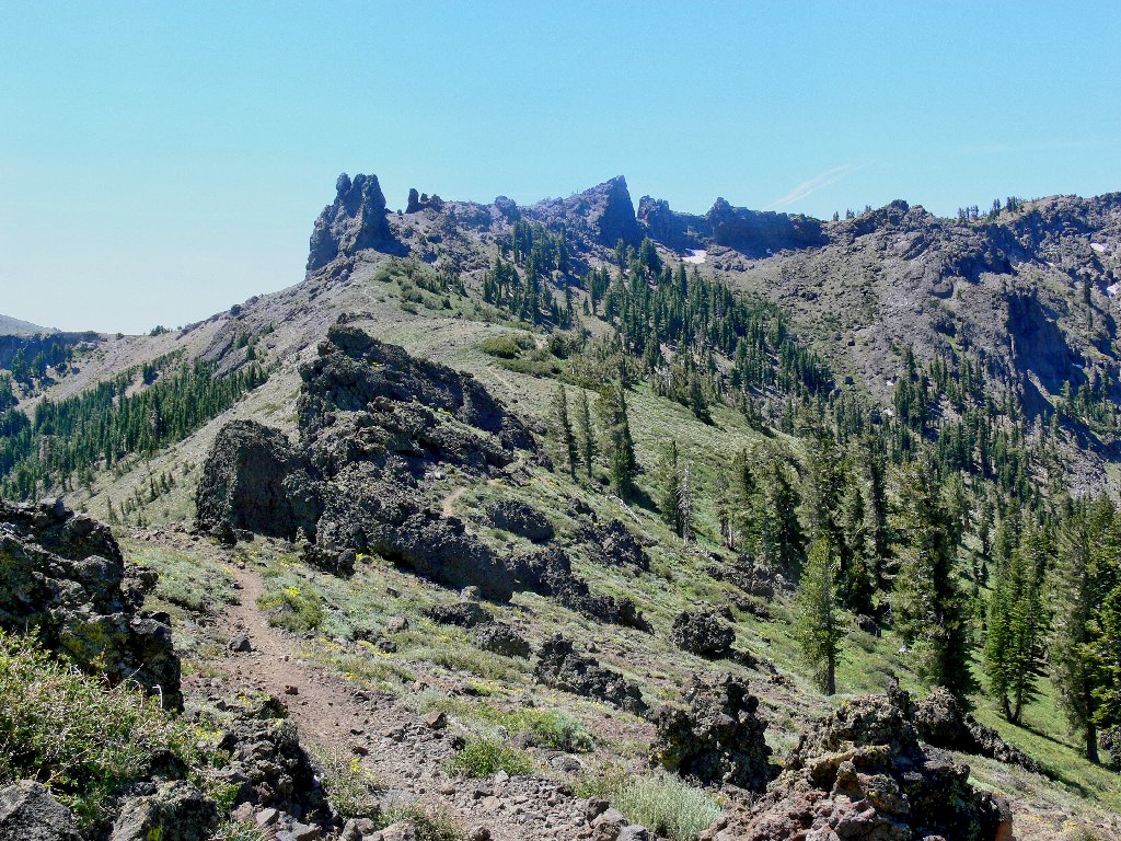
The ridge trail is exciting
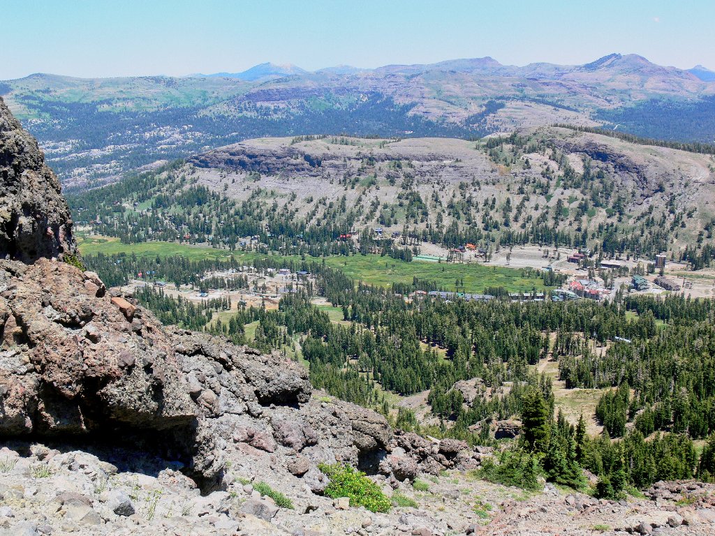
Kirkwood Resort
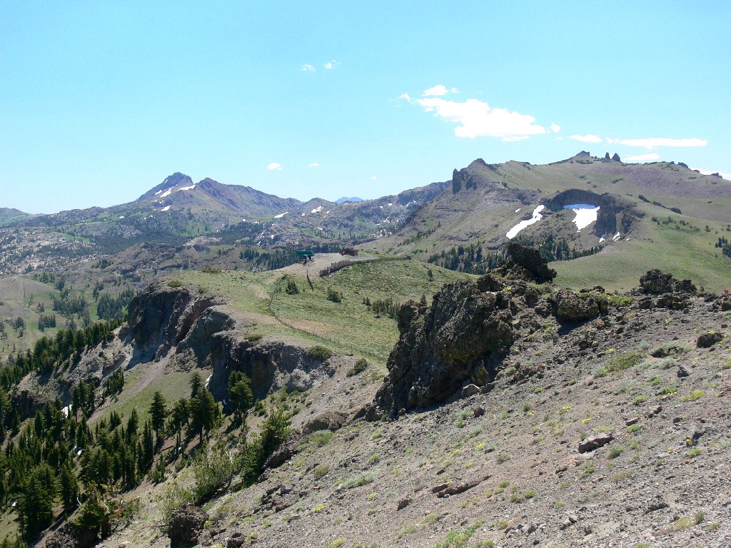
Round Top on the left, 10381'
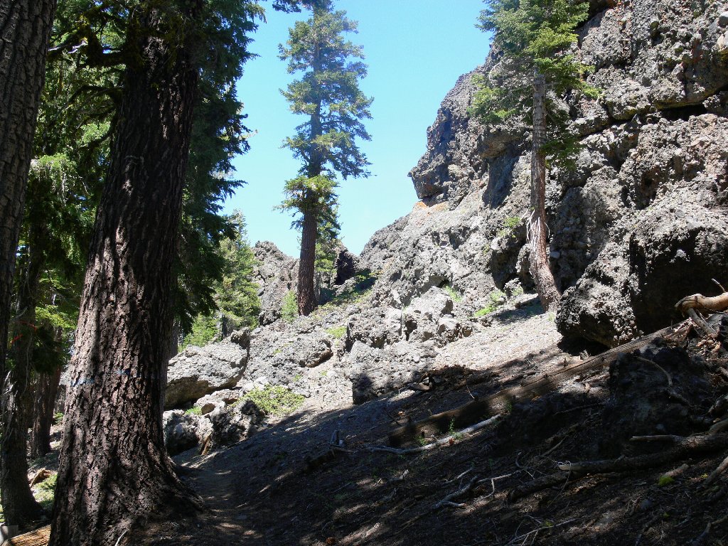
Posted in several places are signs warning skiers not to proceed beyond the resort boundary, proclaiming that responsibility for safety and rescue ends at that point. The trail becomes rough and somewhat uncomfortable as it switchbacks up to a notch in the high rocks. A look back reveals the cliff that I have been skirting unseen for some time. Interesting route!
At the top of the switchbacks
At this juncture, a scary-looking spur heads off to the right toward the
summit, at the base of the crags. The main trail continues over the
top, then downward for a ways to a junction with the Horse Canyon Trail.
A quarter-mile later, the summit actually comes into view.
I can barely make out a flag post at the top.
Scrambling toward the summit, 9409'
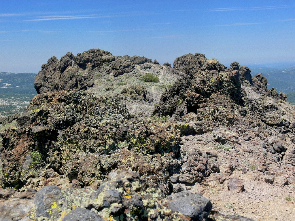
Careful footing and some hands-on scrambling are required from this
point. A short climb at the end achieves the summit, upon which there
is barely room to sit down beside the cache box. The 360-degree
view is splendid — especially that of Silver Lake nearly half a
mile below. It is interesting that the lake is surrounded by white granite,
whereas today's trail traverses only volcanic terrain.
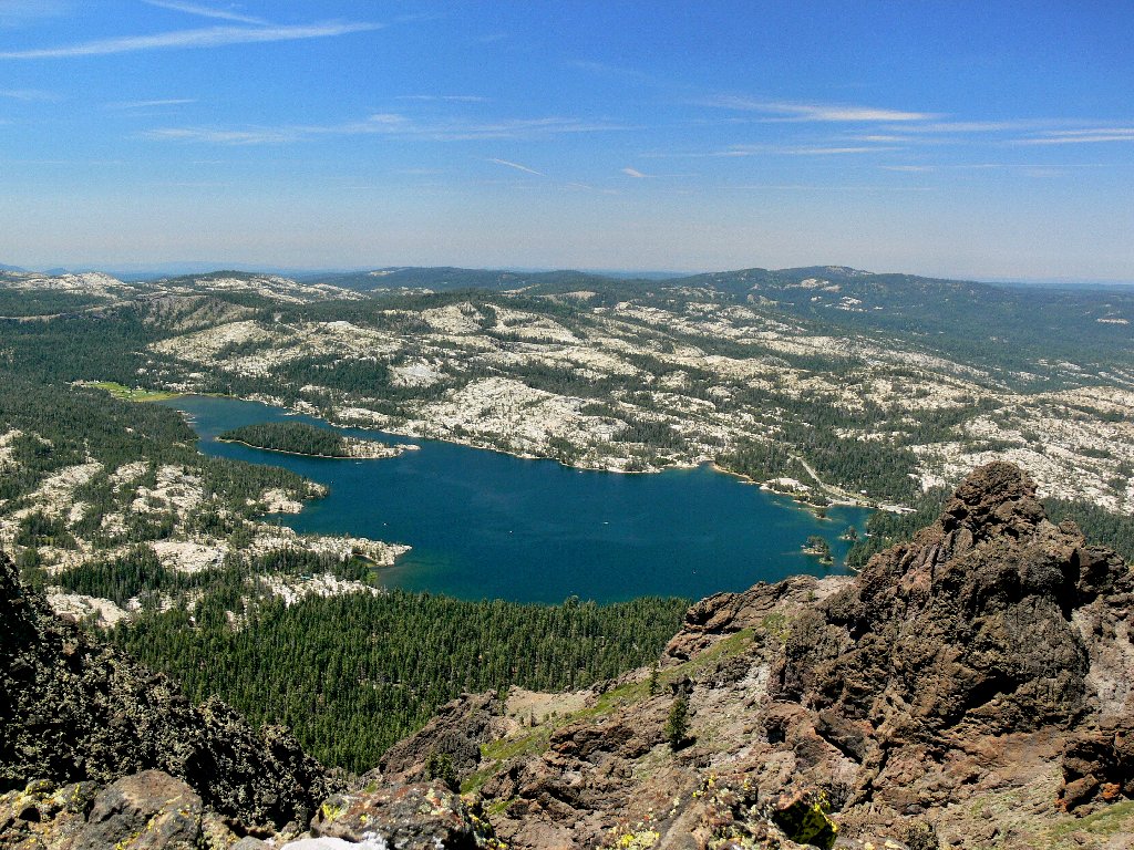
Ever beautiful Silver Lake
Also interesting is that my topographic map shows this eastern crag to be two feet higher than the official summit. Go figure.
Summit view eastward toward the higher point, 9411'
My thermometer shows 80 degrees; yet it is just past noon. That is
quite warm for hiking, but it surely is better than sweltering down in the
valley at what would become 108° fahrenheit. The trail register
displays a couple of patriotic messages from parties that visited
yesterday — Independence Day.
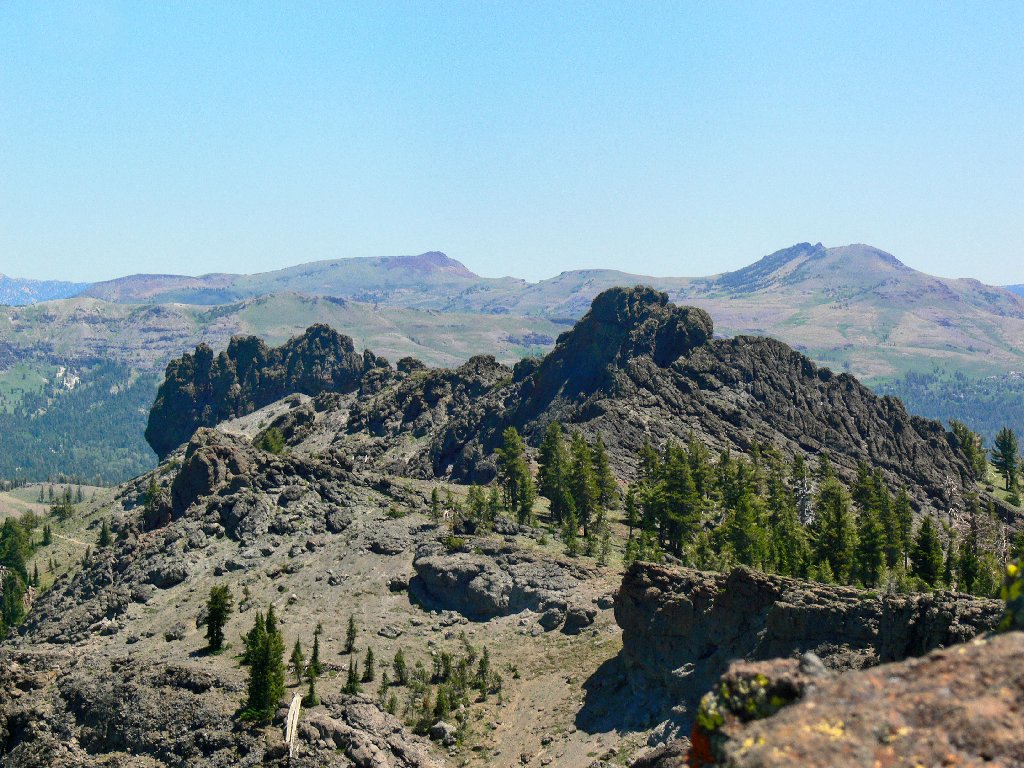
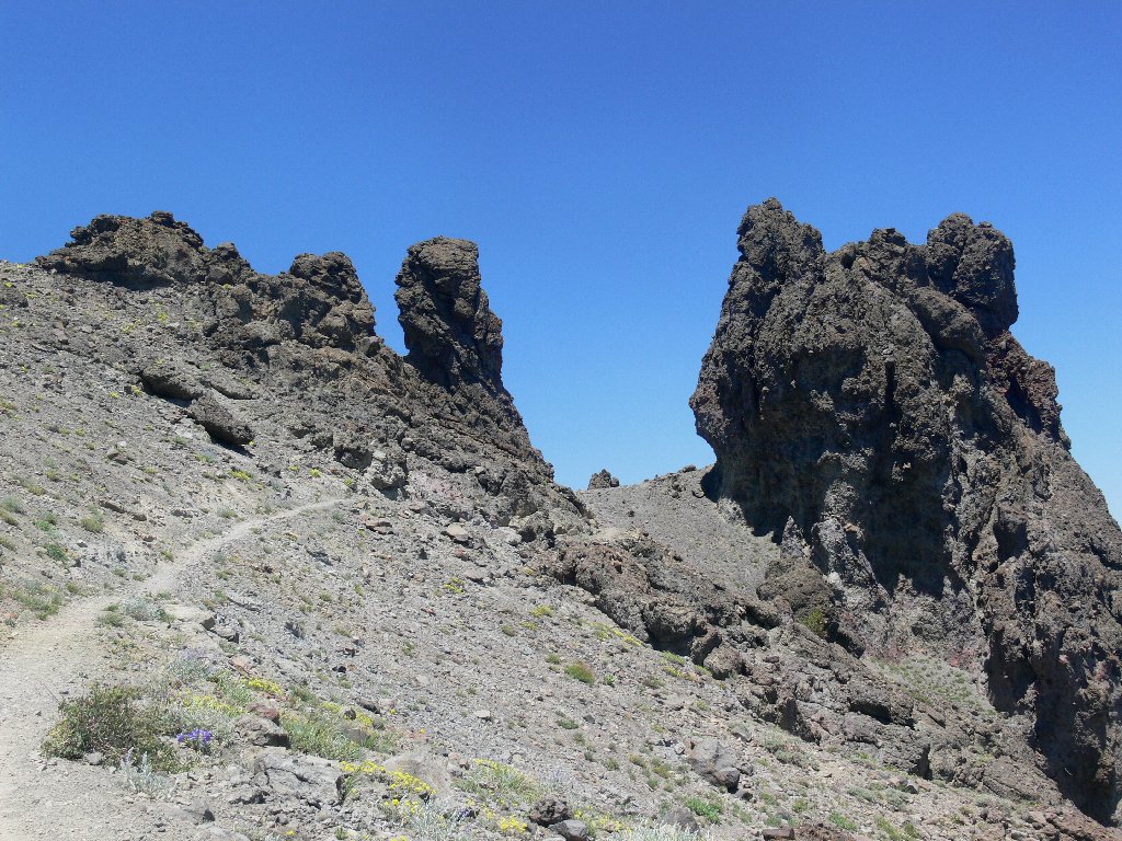
There is a can of beer in the cache box; leaving it for someone more needy, I head to the nearest tree for a lunch break. Afterwards, a retracement of the main trail to the big notch provides a great view northward toward Martin Point and the distant Crystal Range. A mile down the ridge, the unusual Two Sentinels formation awaits my return.
Back up through the notch
Northward view of Martin Point and distant Pyramid Peak

The Two Sentinels
The mats of prickly phlox predictably adorn the higher elevations. Near trail's end the field is full of skyrockets.
Prickly Phlox
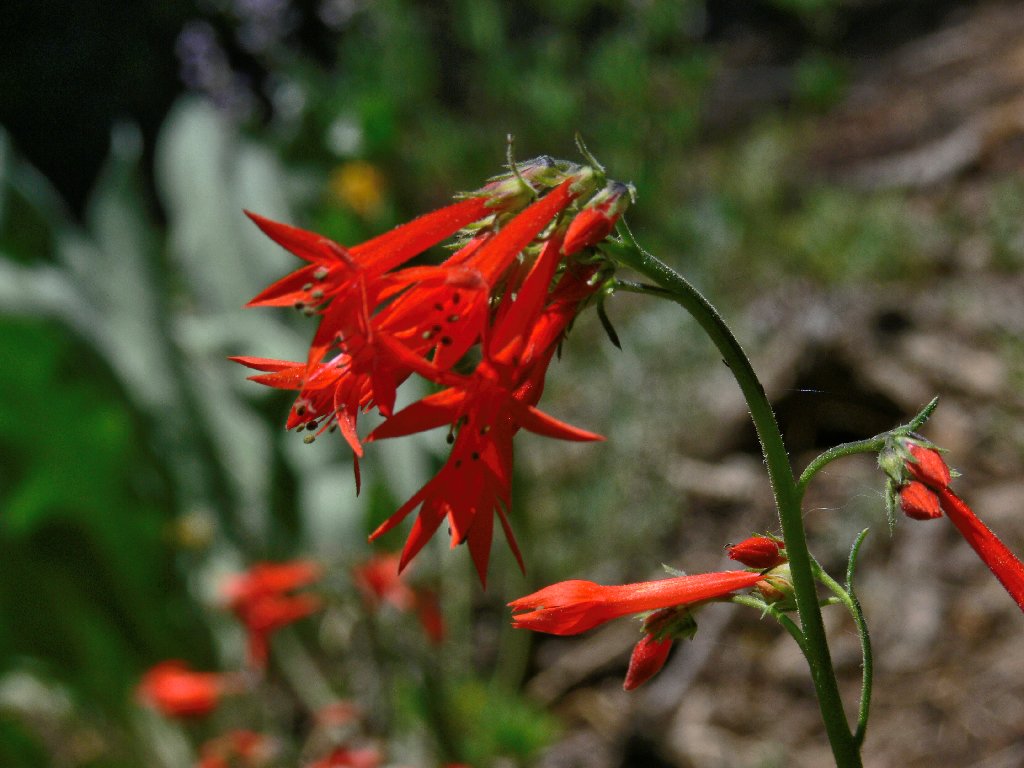
Skyrockets
The roadside Kay's Resort at Silver Lake is uncharacteristically closed for
the third consecutive week; it appears that too many tourists are staying away
this year. For my cold-soda fix, I drive down to Plasse's Resort at
the other end of the lake, from which there is a fine parting view of my recent
conquest. As long as I'm here, I might as well grab an ice cream sandwich, too.

Thunder Mountain from Silver Lake
§: The temperature is 89° at the trailhead upon my return.
This hike would have been more enjoyable a month earlier. Relatively dusty
and treeless routes are best scheduled for cooler days.
| Scenery |  |
| Difficulty |  |
| Personality | |
| Flowers | |
| Solitude |  |
 |
August 2021: The first mile or so of trail has burned, up to the Two Sentinels. |
