
Tahoe NF
|
Mount Lola Tahoe NF |
June 25, 2007
The main trail to the summit of Mount Lola involves a round-trip from
the north of up to 10½ miles, depending upon one's actual starting point,
plus an elevation gain of up to 2,530 feet. Partner John and I have
opted for the much shorter (albeit steeper) route from the south.
After 7 miles of nicely graded road, we veer left at the "Lake Spaulding
Hydroelectric Project" sign. Immediately there is another sign indicating
"Cars Not Recommended", but of course we ignore that one.
Heeding a right-pointing red arrow painted on a tree, and keeping left at
the next unsigned fork, brings us to White Rock Lake after five miles of
high-clearance track.
Attempting to get as close as possible to the trail's beginning, we optionally stay to the left along the lake's northern shore until a big rock in the roadway suggests a prudent stopping point. Our hike starts here.
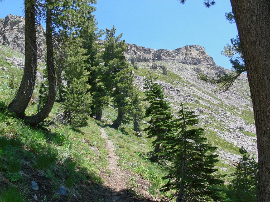
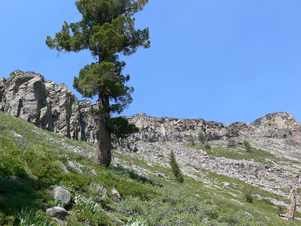
The jeep road continues east past the lake to the obvious trail heading straight up the hillside. And what a rotten section it is! The first few hundred yards necessitate steep scrambling up slippery volcanic rubble. Part way up, we find a less difficult detour over to a tiny creek, which sports the only running water we would see today.
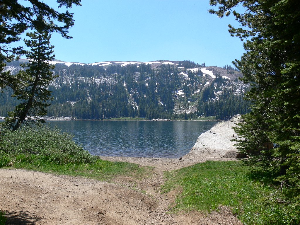
White Rock Lake
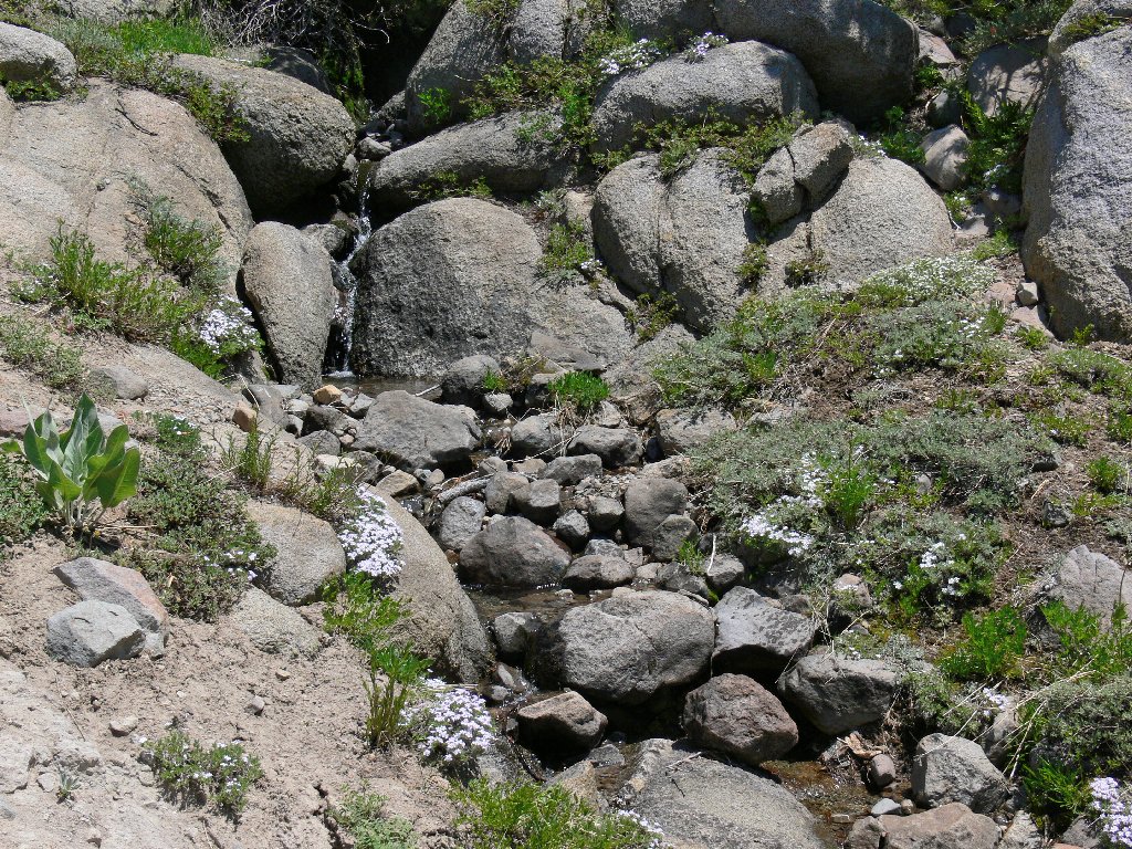
Patches of Phlox on the big trickle
This day was scheduled as an outing in the Wrights Lake area —
that is, until a forest fire at South Lake Tahoe prompted a closure of
US-50. Smoke from that and possibly other fires is immediately
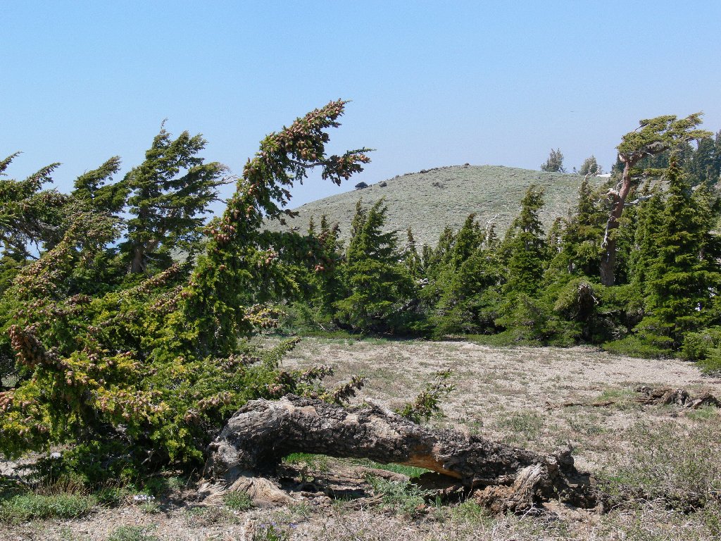
evident as we start climbing. Directing attention more locally,
I am intrigued by the texture of some old trees.

The haze is omnipresent
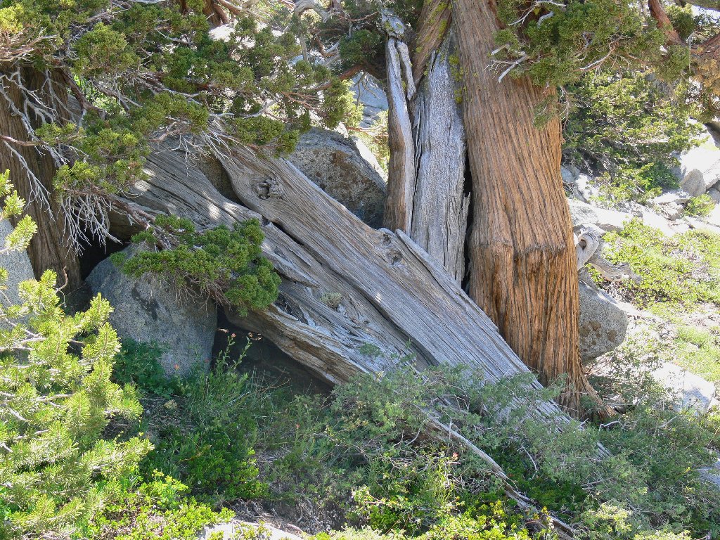
Nice textures
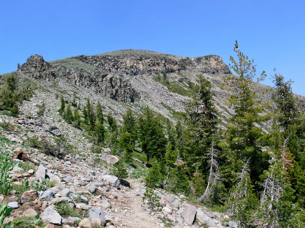
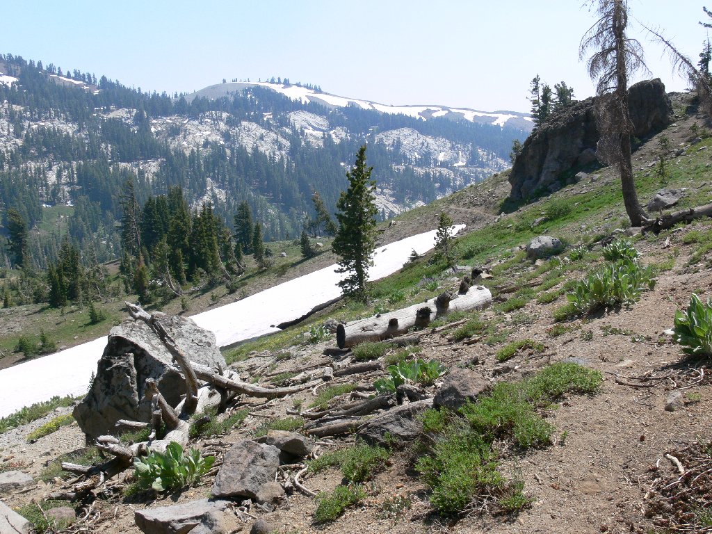
As our objective looms some 1300 feet above, the route rates to be fairly
steep all the way. After traversing a small snow bank, the trail hugs
the eastern side of the ridge for some distance. There are numerous
phlox and paintbrush among the mule's ears, interspersed with lupine and
forget-me-nots. An abrupt switchback veers left to the ridge
top, whereupon the final ascent begins.
Getting closer
This switchback is more pleasant than most
Apparently no one considered making this last trail segment
user-friendly in any way. It simply goes up in a steep
straight line to the summit. After multiple stops to catch my
breath (my companion is a relative youngster), our goal is achieved.
Awaiting us at the top is a mixed group of nine souls who have come up
the other side of the mountain together.

Modern measurements show this elevation as 9147'
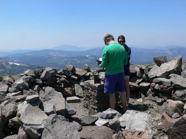
There is a trail register
I am beset by mixed emotions — satisfaction with the accomplishment,
elation at being here for the first time, and disappointment in the obstructed
views. This is the highest point in the Tahoe National Forest.
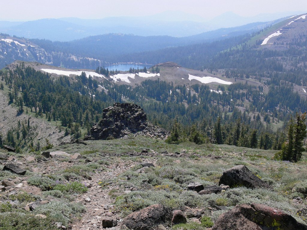
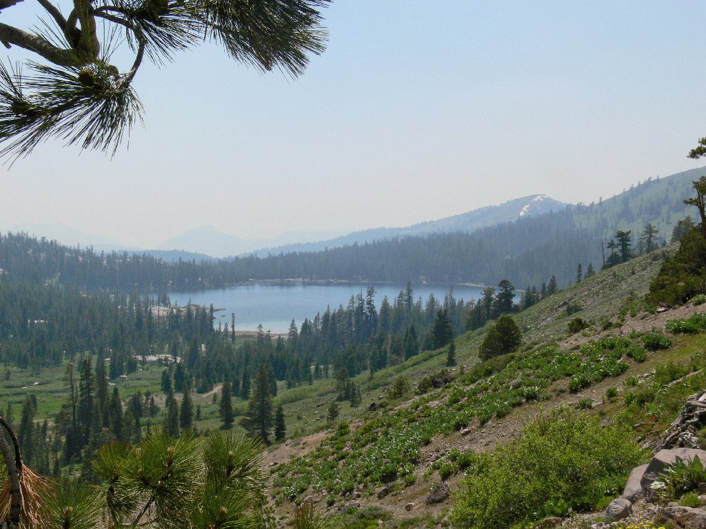
Below us the main trail heads downward toward Independence Lake. Stampede
Reservoir also is in the photo, but the outline of its whitish shore can barely
be discerned in the upper-left corner. The normally spectacular
Sierra Buttes are virtually invisible, and Mount Rose does not even seem to
exist. Any prospect of a glimpse of distant Mount Lassen is out of the
question. I must return here on a clear day.
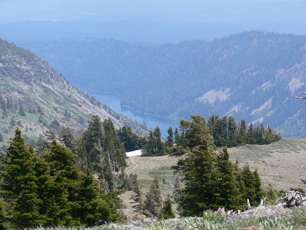
Independence Lake
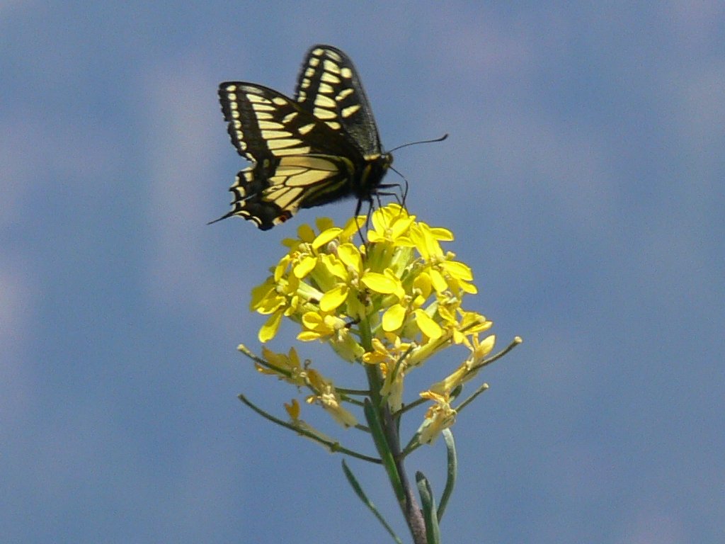
Meanwhile, the other hikers have departed, leaving us the summit to
ourselves. John takes a short snooze while relishing the feel of the
air and the smell of the sagebrush, as I busy myself recording the antics of
bumblebees, grasshoppers, and butterflies. A beautiful anise swallowtail
services a western wallflower, but declines to stop long enough for a nice
still-shot.

Nap time
Nature's elegance
John and I take time to explore a sturdily constructed wind shelter
replete with a rain-proof fireplace alcove. For some reason,
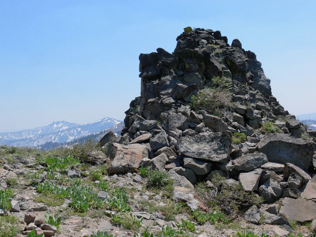
we aren't sufficiently curious to investigate the false mountain summit.
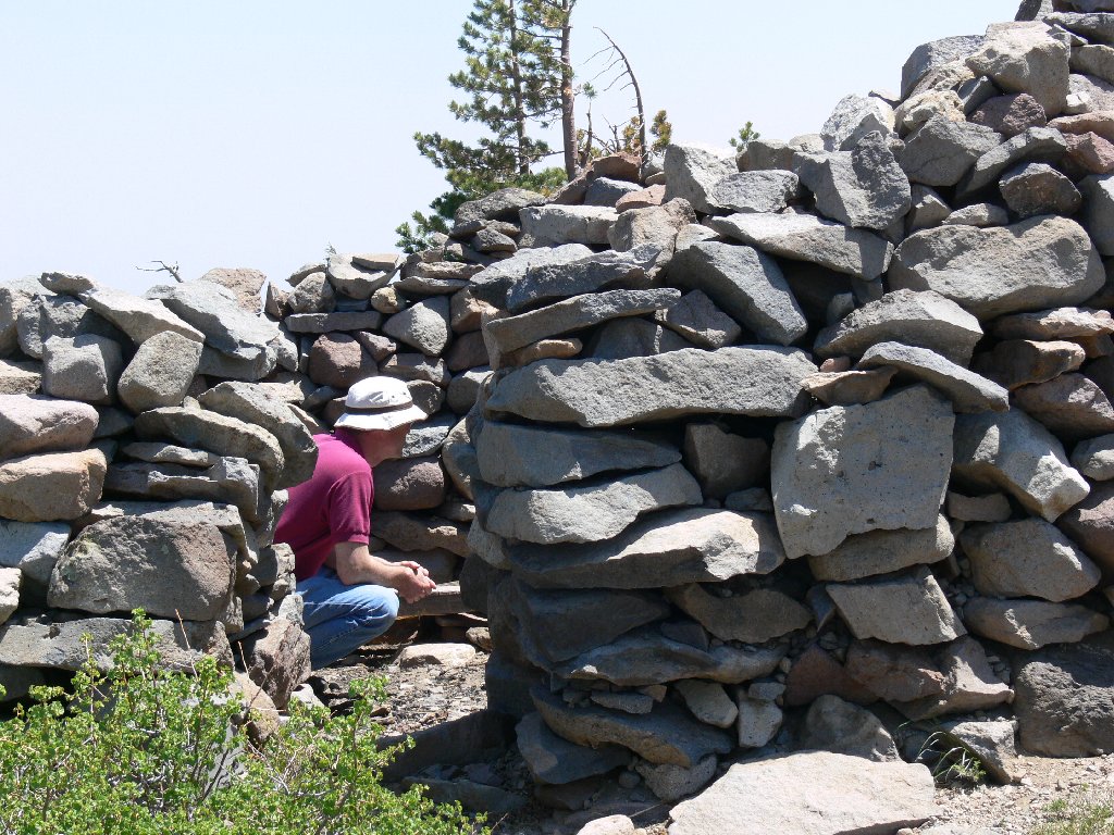
A fancy wind shelter
The false summit
As we turn our attention to the return trip, White Rock Lake seems quite distant, although it really is not.
Less than two miles down
Castle Peak in the background
A last glance back at the south-facing cliff merits another photo. We reject an impulse to slide down the snowfield, and shortly the end is in sight. It remains only to avoid taking a header on the treacherous final downhill, and we have it made. In places such as these, a walking stick is worth its weight in ice cream bars!
Been there, done that
One of only two patches of snow
Nearing trail's end
For the drive home we opt for a 'shortcut'. Instead of heading east back
to SR-89 and then to Truckee, we continue west to Jackson Meadows
Reservoir. From there, another 15 miles or so of very slow going
takes us past pretty Bowman Lake and ultimately down to Highway-20 and
'civilization'. Taking this 'back side' of the big rectangle has saved quite
a few miles; yet it required a lot of extra time and it beat up my Outback as
well. The scenery was worth it, but I feel that a single visit may have been
enough. The road is just too crummy.

Bowman Lake, headwaters of the Yuba River
§: Although the Pacific Crest Trail skirts the southern shore of
White Rock Lake, and although our road crossed it twice during the drive in,
we never saw a trail indicator of any kind. There probably is something
to demarcate the official Mt. Lola Trail and the PCT on the lake's south side.
Mount Lola itself was named in memory of Lola Montez, former mistress of King Ludwig I of Bavaria and exotic dancer in Grass Valley. Her lifestyle inspired the expression "Whatever Lola wants, Lola gets". Ms. Montez was quite a character; look her up on the Internet.
The Bowman Lake area also is rich in history. Its waters powered the
hydraulic gold mines at North Bloomfield many miles to the west. The
world's first long-distance telephone line was constructed to
accommodate the facilities of this major system.
| Scenery |  |
| Difficulty |  |
| Personality |  |
| Solitude | |
