
Tahoe NF
|
Glacier Lakes Trail Tahoe NF |
June 9, 2007
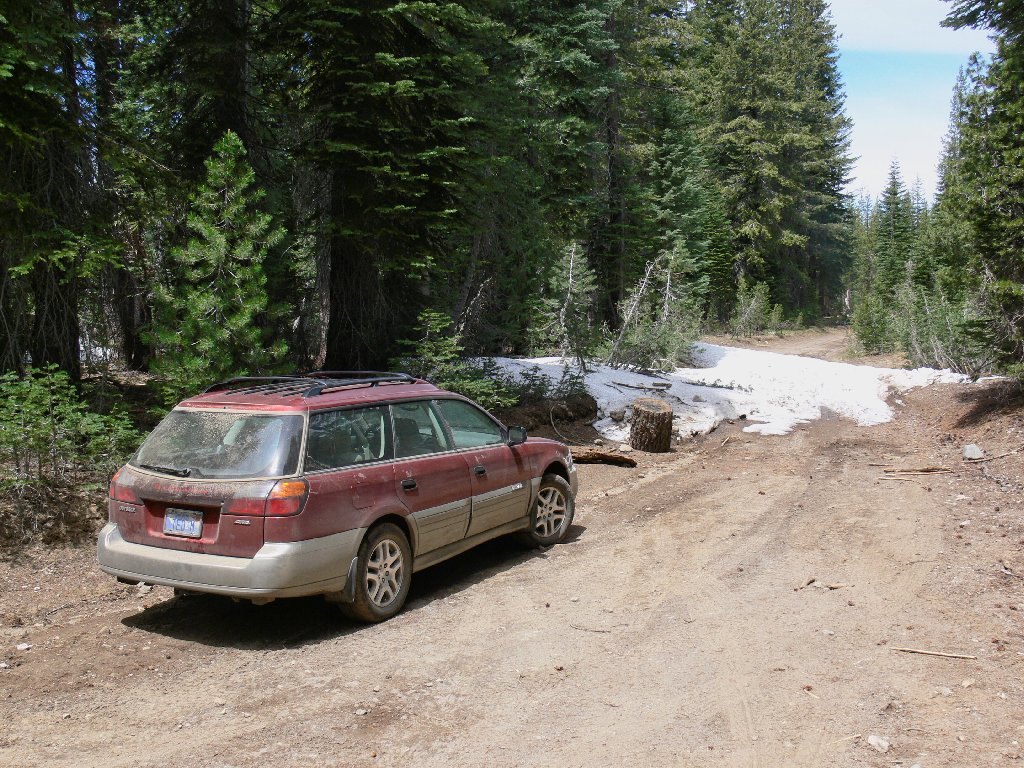
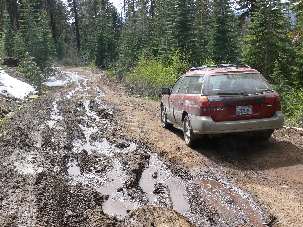
Exploring Fordyce Road north of Cisco Grove is a new adventure for me,
and the reason soon becomes clear — this road is bad.
A high-clearance vehicle is an absolute necessity, but my Outback is
more than equal to the challenge.
A pleasant surprise awaits me a mere quarter-mile off the pavement, in the
form of a sizeable cascade on Rattlesnake Creek. Not so pleasant is the
multitude of bikers and ATV-types scurrying pell-mell, seemingly
to noplace in particular. The only real impact upon me, however, is the
trails of dust they throw up.
Not knowing exactly how best to approach this area, I forgo the turnoff to
Sterling Lake, veering northeast on Rattlesnake Road over Magonigal Summit.
This tour ends at a roadblock of snow that no vehicle has yet crossed; I'll not
be the first to attempt it. A cross-country venture from here is a
possibility; but I am unfamiliar with the territory, my cell phone is out of
range, and my 40-year-old compass has decided to give up the ghost.
Prudence dictates another plan; so I turn the car around.
End of the road today
Backtracking a couple of miles, a side road seems to go in the desired
direction. After winding down and around, it finally dead-ends
at the northeast shore of Lake Sterling, right next to my trail loop.
Perfect! A path along the north shore leads to the spillway, passing
a large but uninhabited camp along the way. There is a big Boy Scout
facility at the southwest corner of the lake, which I have fortuitously
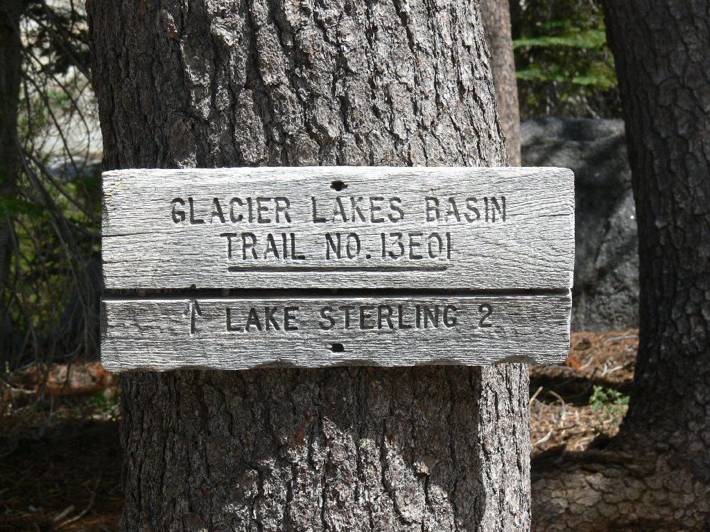
circumvented. At the dam there is a signpost for the Glacier Lakes Trail.
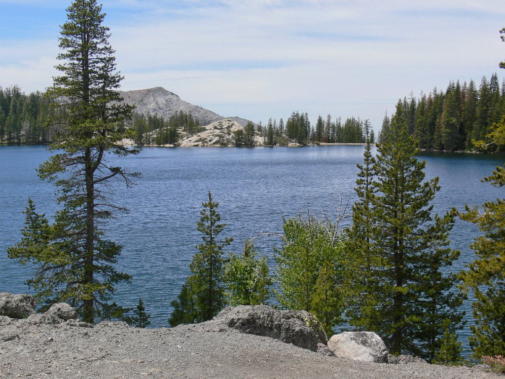
Lake Sterling
After a steep but short scramble at the start, the trail is mellow and shady. It would be totally quiet except for the sound of sporadic gunshots from the Boy Scout shooting range. The first pond is upon me almost immediately.
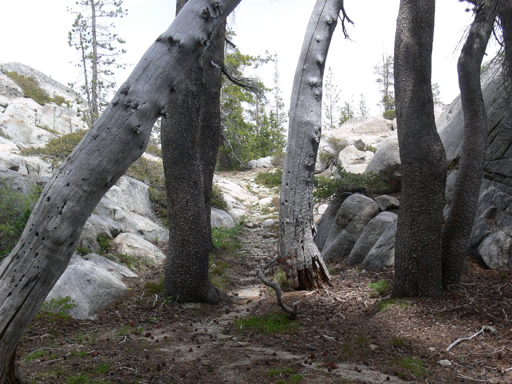
Mellow trail
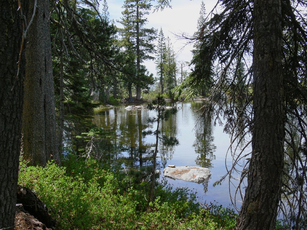
The first pond
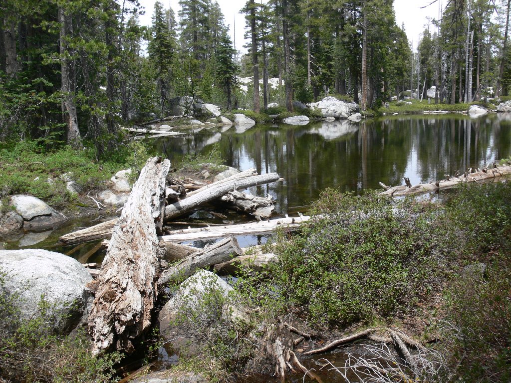
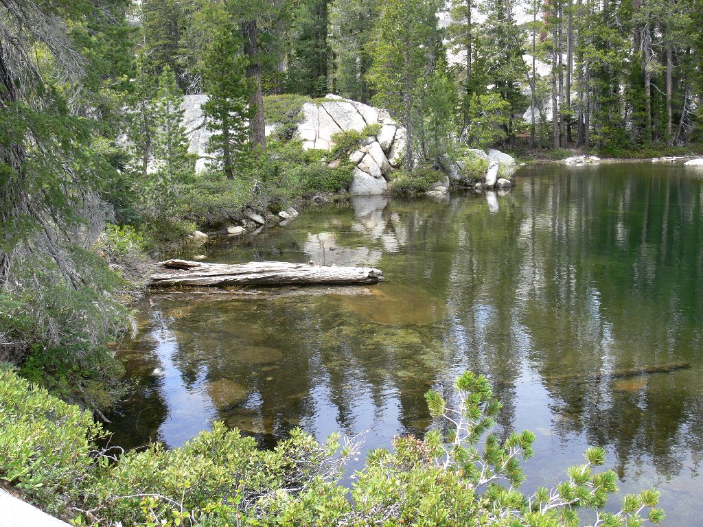
The second lake features a nifty log crossing. A few minutes later another beautiful lake appears, replete with islands and hundreds of red lily pads. At least, I guess that's what they are.
A tricky stream crossing
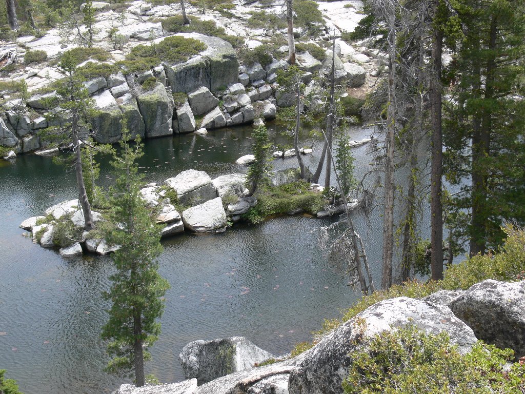
Lily pad lake
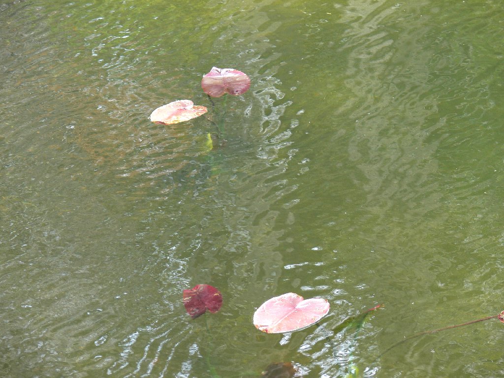
Lily pads?
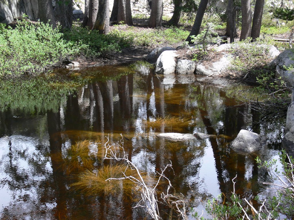
I didn't know that lily pads came in that color. Following a junction sign labeled Mossy Pond, I immediately find a mossy pond; but it is not Mossy Pond.
False mossy pond
A nicely placed Jeffrey pine sentinel invites me farther up the trail, past a rain shelter underneath a flat rock.

Inviting trail
Rock shelter
Although I am short of Mossy Pond, a seeming end to the trail prompts a lunch break here.
Lunch stop
Having inexplicably failed to bring a map, and having no idea how much farther Mossy Pond might be, I decide to turn back here. At the previous junction the signpost is explicit. I dutifully proceed in the direction of the arrow.
Continuing the loop
Well, within no time the trail disappears. Once again ruing my
forgetfulness, I attempt to retrace my steps and start again; but that
doesn't work either. Now the original path itself seems to be
hiding. Perhaps this portion of the trail has been left intentionally
vague by the Boy Scout administrators, so as to provide the kiddies an
opportunity to hone their orientation skills. If so, I have failed
the final exam; for I find myself on a tiring cross-country
scramble up and down some rock piles.
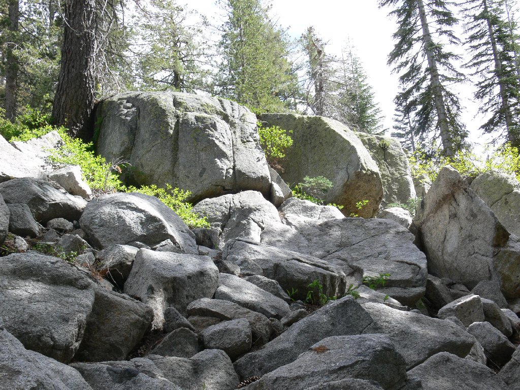
A difficult cross-country route
This detour is not entirely in vain. Despite a somewhat scary
and entirely unnecessary Class-3 scramble up a rock face beside
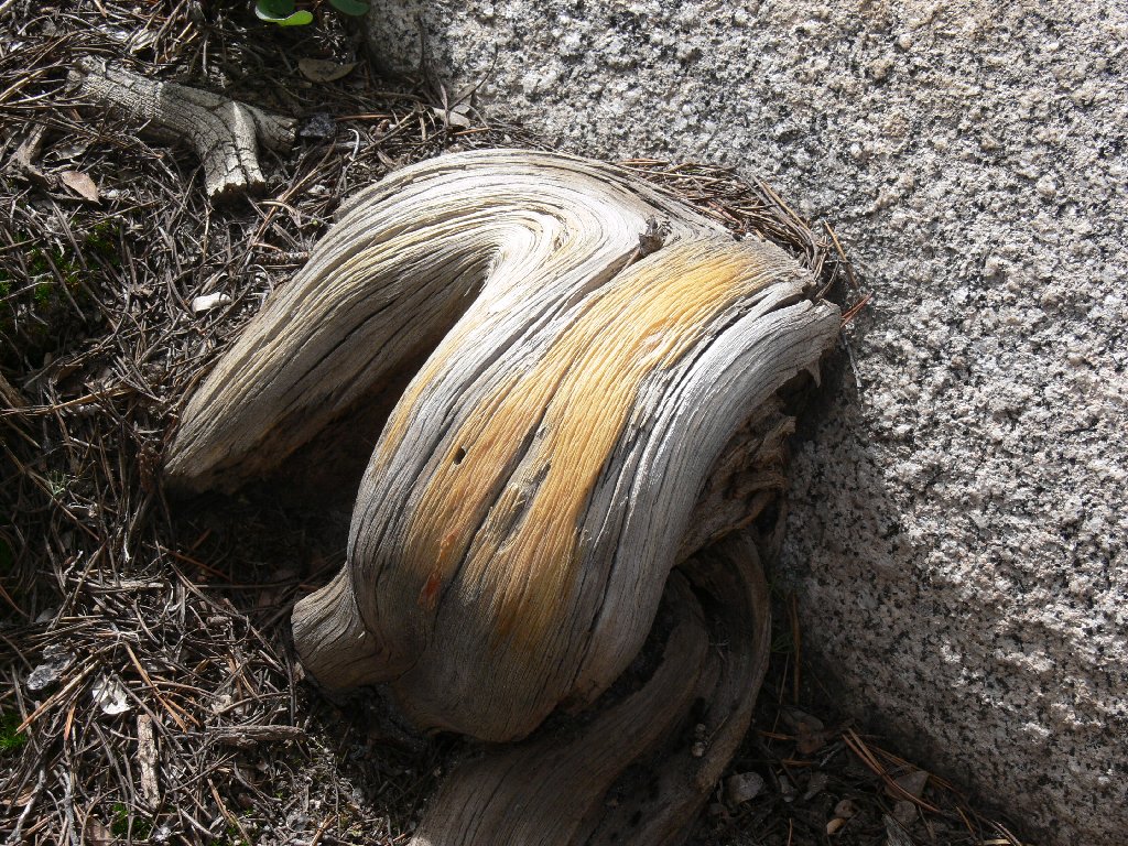
a lake, I discover some nifty new scenery. An interestingly colored
tree root commands attention as well.

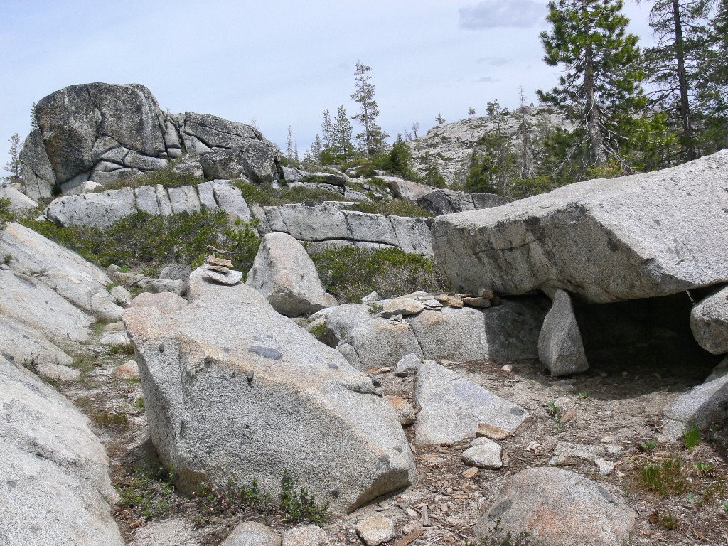
Nice rocks
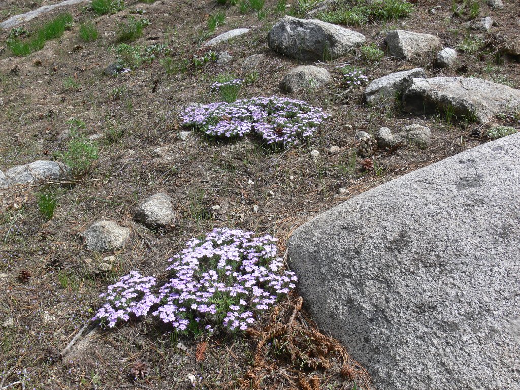
Nice Phlox
Nice colors
Eventually, the original trail reappears and leads ultimately back to the car. I opt for a shortcut back to the interstate, above the southern side of Lake Sterling. This route, although somewhat shorter, might not be saving any time. The fact that is is passable is good enough for me.
The road back
§: There were few flowers on today's loop; apparently it was just too
early in the season. Also, despite its size, nearby Fordyce Reservoir never
was in view. As there is virtually no elevation change in this area, the
walking is easy but there are no vista points.
After consulting a map, I discovered that it would have been another mile to Mossy Pond itself. The eastern loop of the trail was lost by not veering far enough to the north at a stream crossing. My nifty new National Geographic mapping software labels the route as the Mossy Pond East Trail. When not bushwhacking, all my time had been spent on the Mossy Pond West segment. Those names are not shown on the Forest Service map.
| Scenery |  |
| Difficulty |  |
| Personality |  |
| Solitude | |
