
Huysink Road Trailhead
|
Loch Leven Lakes Huysink Road Trailhead |
June 4, 2007
Three weeks have passed since my encounter with the snow on the main trail
from Big Bend. Although that route surely is clear by now, I have no wish
to duplicate a hike in any given season; there are so many other options.
In any case, today's lesser-known alternative trail is more than half a
mile shorter each way, and it saves a lot of climbing as well.
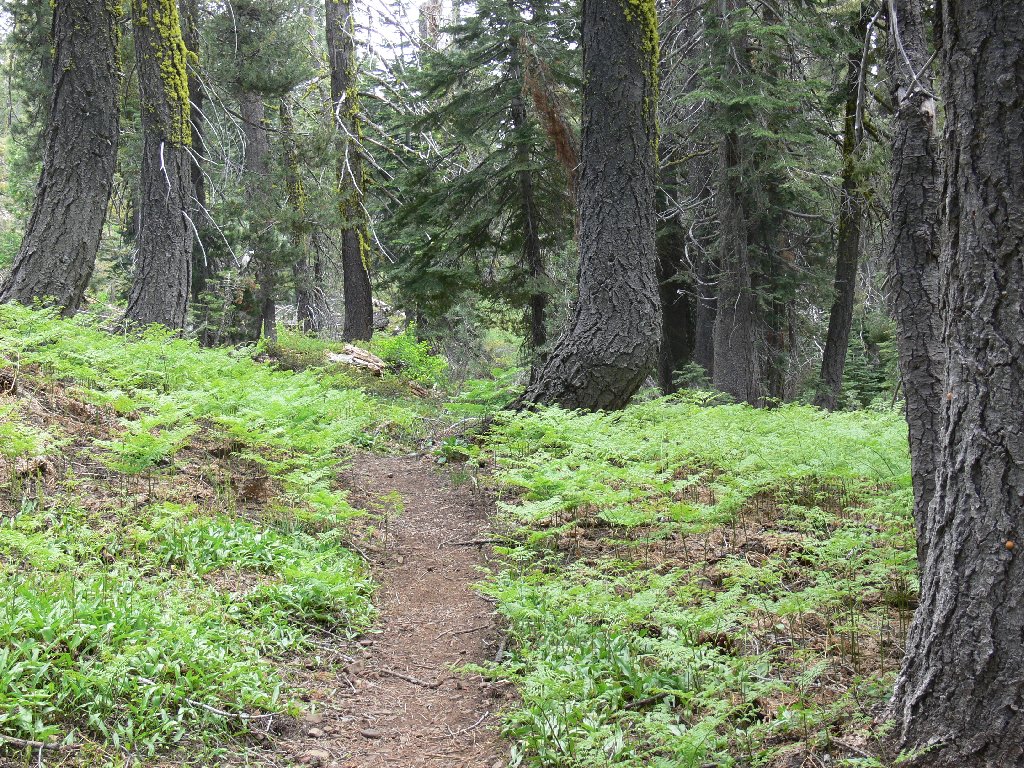
Starting out
Six miles of moderately poor road pass alongside privately owned Huysink Lake to the trailhead. There are four or five rough spots on this eastbound trail. My walking stick is a big help at these times.
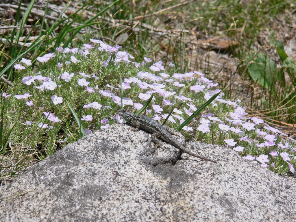
This guy likes phlox, too!
A short hour takes me to the junction with the main north-south trail,
where two white-haired women are resting beside Lower Loch Leven
Lake. Having come up from Big Bend, they acknowledged having seen
about six other hikers. Another quarter-mile southward puts
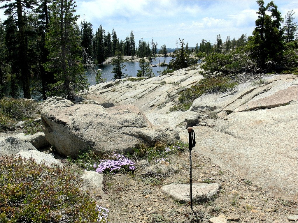
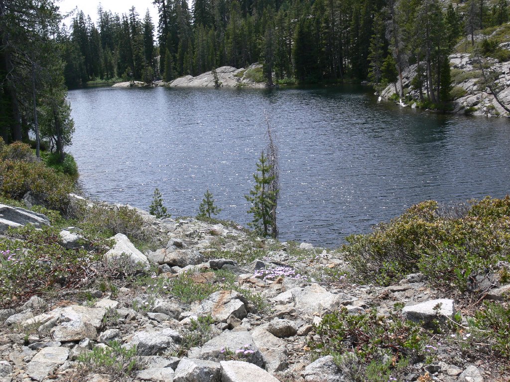
me at Middle Loch Leven Lake, the biggest and prettiest of the bunch.
I have swum here many times, but it's a bit too early in the season for
that now. Besides, I have another agenda.
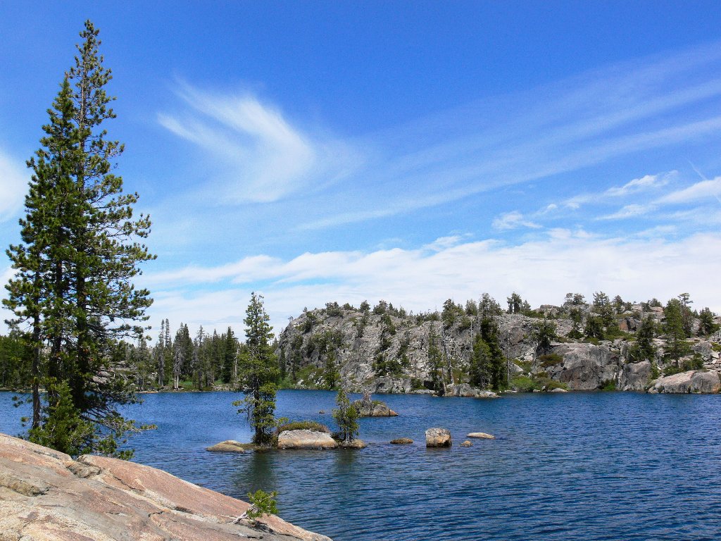
Middle Loch Leven Lake
At the south end of the lake, the outlet is dry. In days gone by, there would be beautiful cascades everywhere at this time. An ongoing pattern of finding no water in various places, when it was there on previous visits, has been providing me clear evidence of global warming for several decades.
Continuing north up the east side of this lake eventually leads to High
Loch Leven Lake and the end of the trail. I am determined to complete
a loop with a cross-country venture westward to the Middle Lake and
the trail junction. This will save nearly a mile of horizontal travel;
yet the going won't be easy. There are numerous ups and downs,
as evidenced by this first obstacle at lake's edge.
The cross-country route begins here
Looking back at High Loch Leven Lake
My choice of routes is not the best. It would have been better to stick closer to the high lake, planning to traverse between the Middle and Lower Lakes. Now it looks as if I'll have to circle higher and to the right in order to circumvent this cliff. It is quite pretty up here, though; there are several small lakes and ponds that I have not seen before.
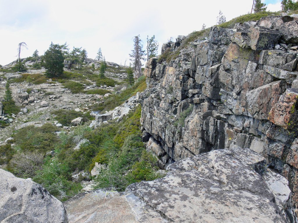
Trapped on a cliff
Three campers and a dog are sunbathing beside an off-the-trail lake, reminding me that civilization isn't so far away after all.

A lake with no name
Ugh! This really was a bad choice of routes. Bushwhacking downhill
through tick-infested manzanita is not a desirable scenario; it would have
proved unnecessary had I opted for a more direct path in the first place.
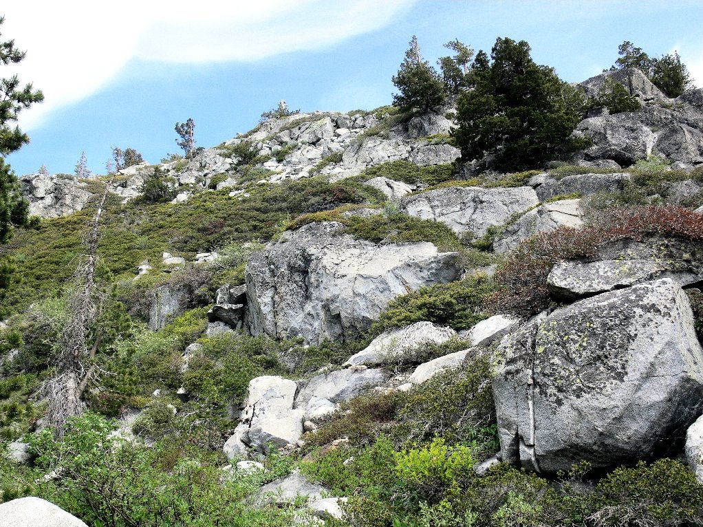
Bushwhack route down the hill
A redeeming feature was a pleasant canyon at the bottom —
a good place to stop for a snack.
A welcome respite
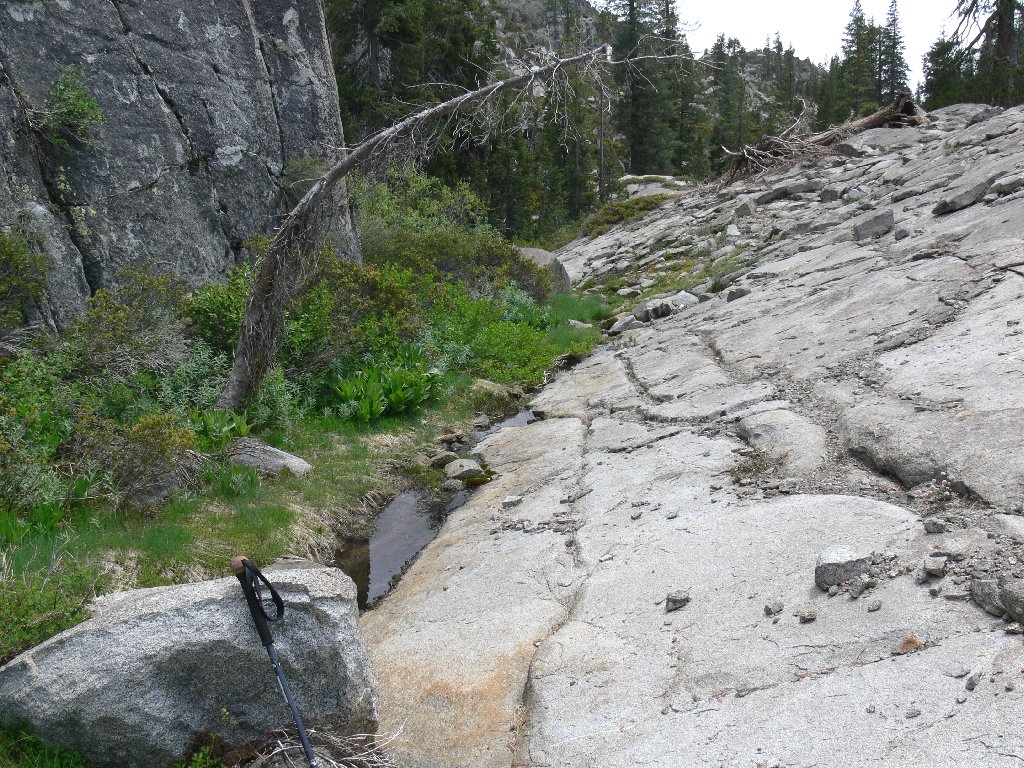
Shortly after lunch I find myself at the northeast corner of the Lower Lake. There must be a way around it to the right.
Behind Lower Lake
The water seems never to end, and there is no easy route near the
shore. I hope that I won't have to go wading or do any more
manzanita-hopping. The red heather is nice, though.
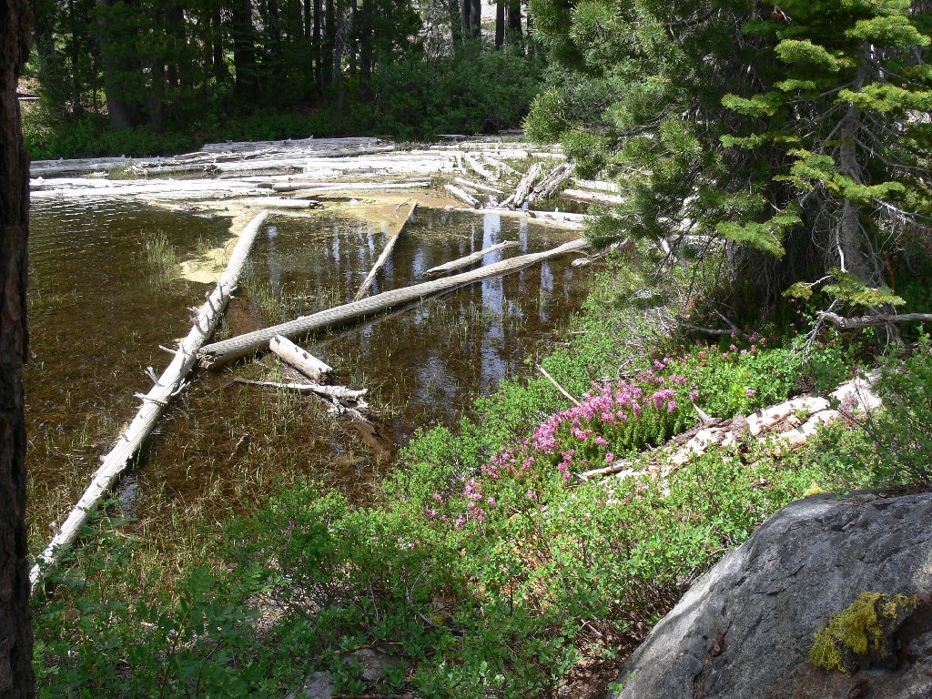
Searching for a crossing
Salvation! Negotiating the obstacle course atop this big old log proves something of a challenge, but it leads to within a few yards of the main trail.
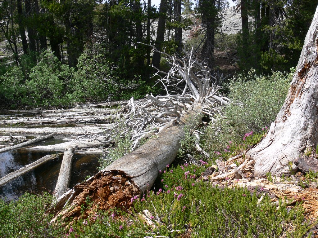
Bridge across the water
Halfway back on the return trip, a short detour from the trail provides
an overview of Salmon Lake. The last time I took the quarter-mile
spur over there, oodles of fish were delighted to compete for sunflower seeds.
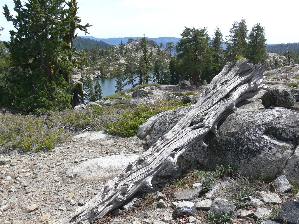
Salmon Lake viewpoint
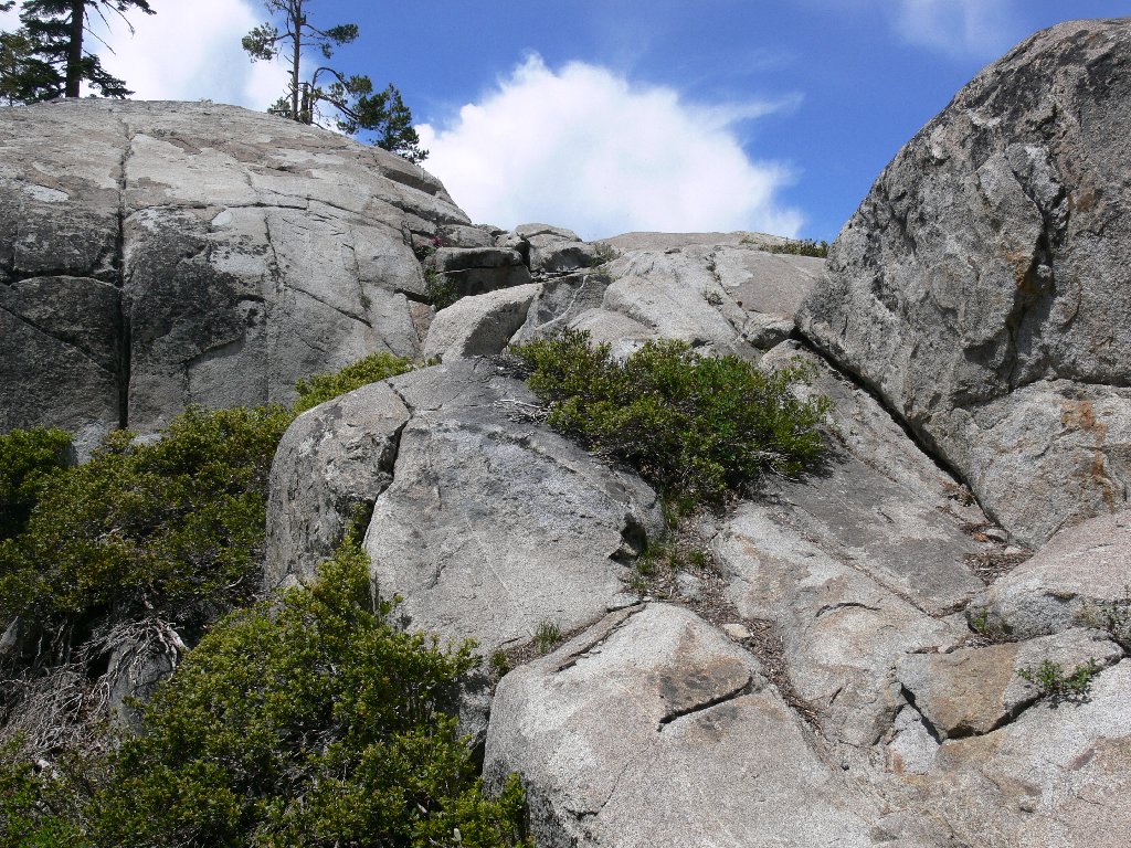
No, that design is not painted on the rock, but embedded in it. There are a number of such unusual formations nearby.
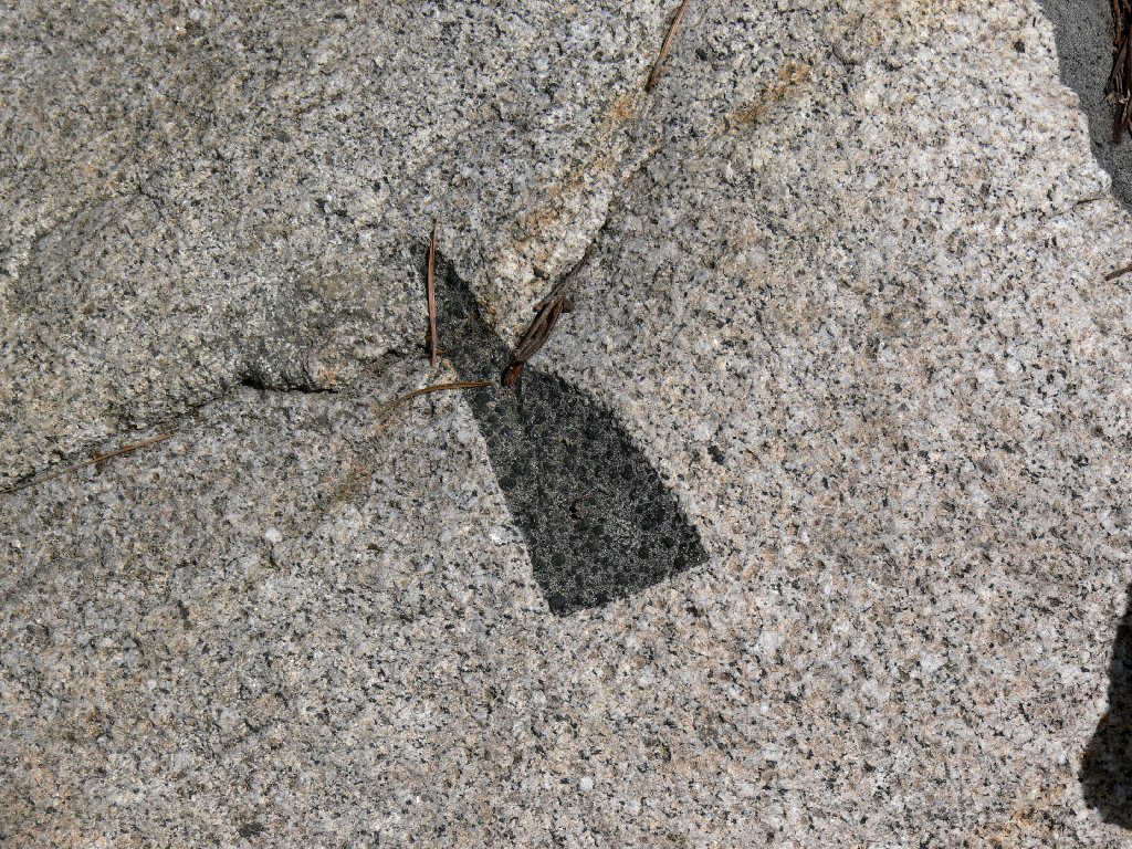
An amazing geologic effect
The last lap is mostly downhill and mostly in the shade.
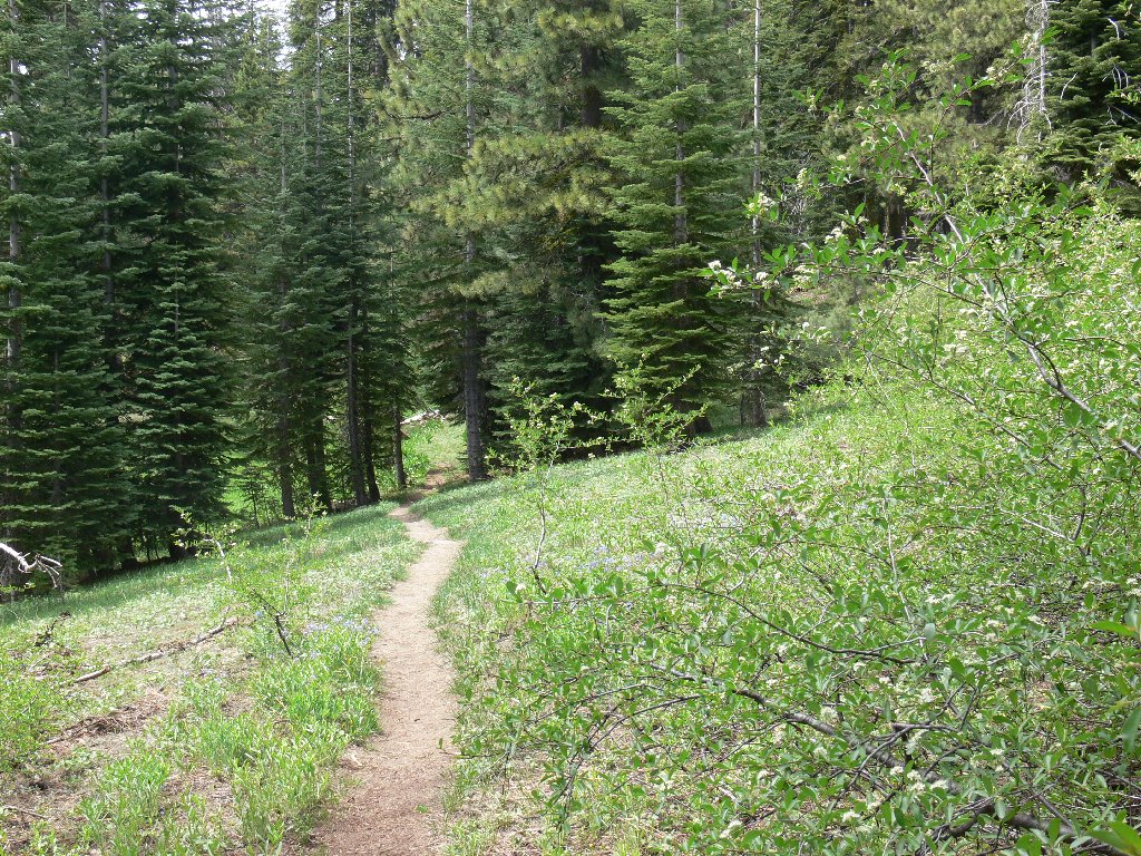
Nearing trail's end
§: Next time, I'll explore the area a bit more.
| Scenery |  |
| Difficulty |  |
| Personality | |
| Adventure |  |
| Solitude |  |
